
File:Map of New York highlighting Franklin County.svg

Size of this PNG preview of this SVG file: 787 × 600 pixels. Other resolutions: 315 × 240 pixels | 630 × 480 pixels | 1,008 × 768 pixels | 1,280 × 976 pixels | 2,560 × 1,951 pixels | 6,599 × 5,030 pixels.
Original file (SVG file, nominally 6,599 × 5,030 pixels, file size: 112 KB)
| This is a file from the Wikimedia Commons. Information from its description page there is shown below. Commons is a freely licensed media file repository. You can help. |
Summary
| Description |
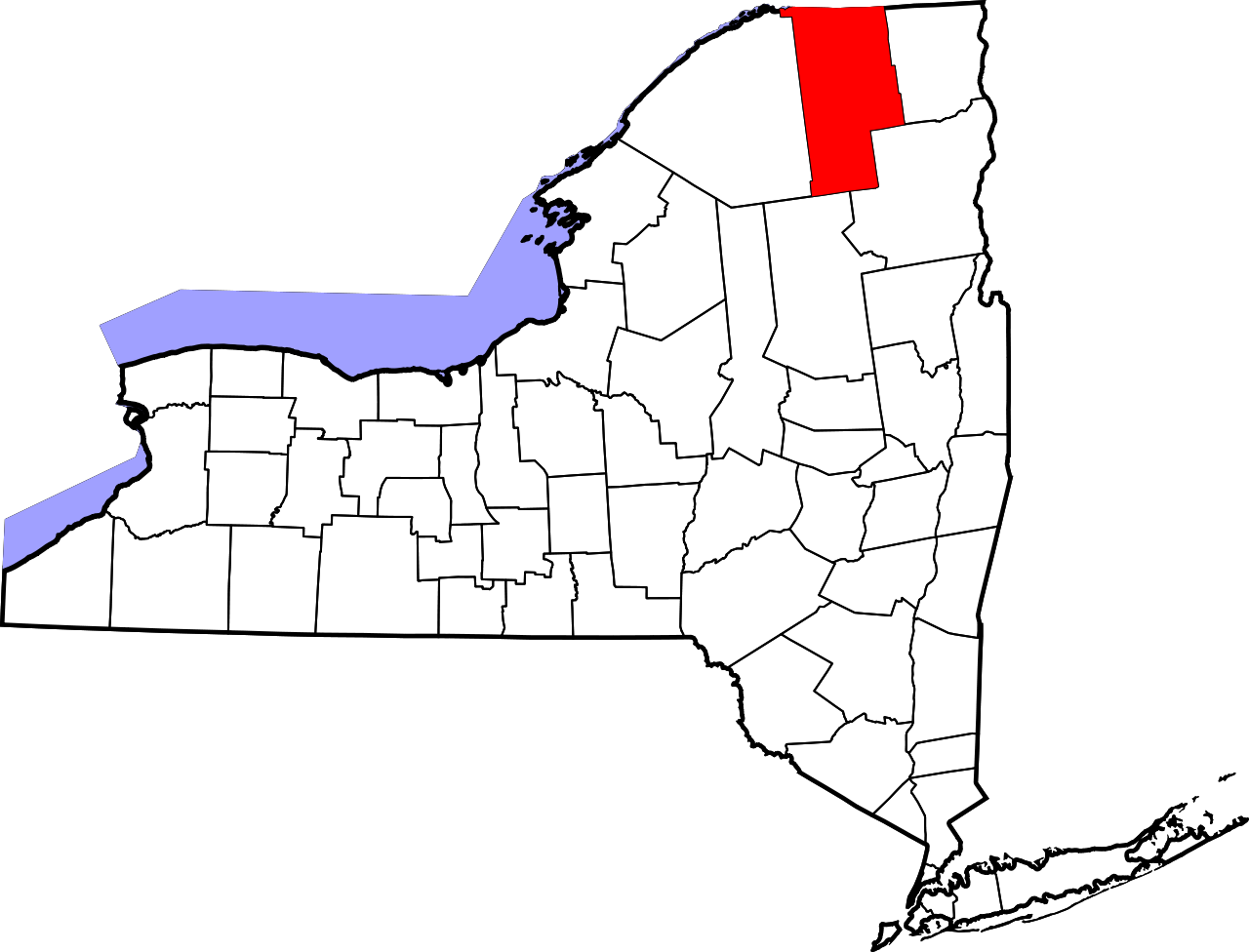
English: This is a locator map showing Franklin County in New York. For more information, see Commons:United States county locator maps. |
| Date | |
| Source |
Own work: English: The maps use data from nationalatlas.gov, specifically countyp020.tar.gz on the Raw Data Download page. The maps also use state outline data from statesp020.tar.gz. The Florida maps use hydrogm020.tar.gz to display Lake Okeechobee. |
| Author | David Benbennick |
Licensing
| I, the copyright holder of this work, release this work into the public domain. This applies worldwide. In some countries this may not be legally possible; if so: I grant anyone the right to use this work for any purpose, without any conditions, unless such conditions are required by law. |
File history
Click on a date/time to view the file as it appeared at that time.
| Date/Time | Thumbnail | Dimensions | User | Comment | |
|---|---|---|---|---|---|
| current | 15:32, 12 February 2006 | | 6,599 × 5,030 (112 KB) | David Benbennick | {{subst:User:Dbenbenn/clm|county=Franklin County|state=New York|type=county}} |
File usage
The following pages on the English Wikipedia use this file (pages on other projects are not listed):
- Akwesasne
- Bangor, New York
- Bellmont, New York
- Bombay, New York
- Brainardsville, New York
- Brandon, New York
- Brighton, Franklin County, New York
- Brushton, New York
- Burke, New York
- Burke (village), New York
- Chateaugay, New York
- Chateaugay (village), New York
- Cold River (New York)
- Constable, New York
- Coreys, New York
- Dickinson, Franklin County, New York
- Dickinson Center, New York
- Donaldson Mountain
- Duane, New York
- Fort Covington, New York
- Fort Covington (CDP), New York
- Franklin, Franklin County, New York
- Franklin County, New York
- Franklin Falls Pond
- Gabriels, New York
- Goldsmith, New York
- Harrietstown, New York
- Hogansburg, New York
- Jamieson Line Border Crossing
- Keese Mill, New York
- Kiwassa Lake
- Knollwood Club
- Lake Clear, New York
- List of counties in New York
- Loon Lake, New York
- Loon Lake Mountains
- Malone, New York
- Malone (village), New York
- Meenahga Mountain
- Middle Saranac Lake
- Moira, New York
- Mount Emmons (New York)
- National Register of Historic Places listings in Franklin County, New York
- North Bangor, New York
- Osgood Pond
- Owls Head, New York
- Paul Smiths, New York
- Rainbow Lake, New York
- Reynoldston, New York
- Saint Regis Mountain
- Saint Regis Pond
- Santa Clara, New York
- Saranac Lake, New York
- Seward Mountain (New York)
- Seymour Mountain (Franklin County, New York)
- Skerry, New York
- Spitfire Lake
- St. Regis Falls, New York
- St. Regis Mohawk Reservation
- St. Regis River
- Titus Mountain
- Trout River, New York
- Tupper Lake, New York
- Tupper Lake (New York)
- Tupper Lake (village), New York
- Upper St. Regis, New York
- Vermontville, New York
- Waverly, Franklin County, New York
- Weller Pond
- West Bangor, New York
- Westville, New York
- Whippleville, New York
- User:AridCeption/sandbox
- User:Nyttend/County templates/NY/1
- Template:FranklinCountyNY-geo-stub
- Template:Franklin County, New York
- Category:Populated places in Franklin County, New York
Global file usage
The following other wikis use this file:
- Usage on ar.wikipedia.org
- Usage on bg.wikipedia.org
- Usage on bpy.wikipedia.org
- Usage on ca.wikipedia.org
- Usage on cdo.wikipedia.org
- Usage on ceb.wikipedia.org
- Usage on ce.wikipedia.org
- Usage on cy.wikipedia.org
- Usage on de.wikipedia.org
- Usage on eo.wikipedia.org
- Usage on es.wikipedia.org
- Usage on eu.wikipedia.org
- Usage on fa.wikipedia.org
- Usage on fi.wikipedia.org
- Usage on fr.wikipedia.org
- Comté de Franklin (New York)
- Malone (New York)
- Fort Covington
- Saranac Lake
- Harrietstown
- Chateaugay (New York)
- Constable (New York)
- Westville (New York)
- Bombay (New York)
- Modèle:Palette Comté de Franklin (New York)
- Franklin (comté de Franklin, New York)
- Bangor (New York)
- Bellmont (New York)
- Burke (New York)
View more global usage of this file.