
File:Manasseh. 1852 Philip Map of Palestine - Israel - Holy Land - Geographicus - Palestine-philip-1852.jpg
Size of this preview: 800 × 497 pixels. Other resolutions: 320 × 199 pixels | 640 × 398 pixels | 1,078 × 670 pixels.
Original file (1,078 × 670 pixels, file size: 208 KB, MIME type: image/jpeg)
| This is a file from the Wikimedia Commons. Information from its description page there is shown below. Commons is a freely licensed media file repository. You can help. |
Summary
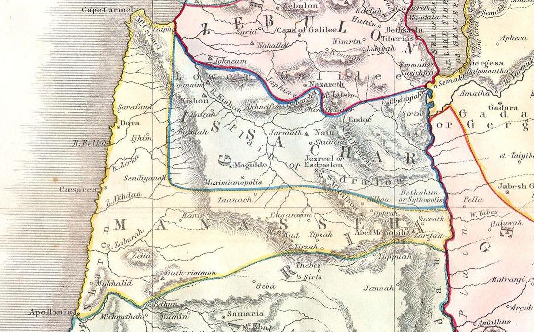
| Palestine or the Holy Land According to its Ancient Divisions & Tribes. | |||
|---|---|---|---|
| Artist | |||
| Title |
Palestine or the Holy Land According to its Ancient Divisions & Tribes. |
||
| Description |
English: This beautiful hand colored map is a steel plate engraving of Israel / Palestine or the Holy Land. Depicts the region as it would have been during the period of the Twelve Tribes of Israel. There are numerous notations referencing well, caravan routes and Biblical locations. Dated “Liverpool, Published by George Philip and Sons 1852”. |
||
| Date | 1852 | ||
| Dimensions | height: 20 in (50.8 cm); width: 24 in (60.9 cm) (original map) | ||
| Accession number |
Geographicus link: Palestine-philip-1852 |
||
| Source/Photographer | |||
| Original source |
|
||

Licensing
|
This is a faithful photographic reproduction of a two-dimensional, public domain work of art. The work of art itself is in the public domain for the following reason:
The official position taken by the Wikimedia Foundation is that "faithful reproductions of two-dimensional public domain works of art are public domain".
This photographic reproduction is therefore also considered to be in the public domain in the United States. In other jurisdictions, re-use of this content may be restricted; see Reuse of PD-Art photographs for details. | ||||
File history
Click on a date/time to view the file as it appeared at that time.
| Date/Time | Thumbnail | Dimensions | User | Comment | |
|---|---|---|---|---|---|
| current | 16:19, 23 March 2016 | | 1,078 × 670 (208 KB) | Geagea | == {{int:filedesc}} == {{Artwork |artist={{User:Multichill/Geographicus/cartographers|1=phillips.txt|subst=}} |title= Palestine or the Holy Land According to its Ancient Divisions & Tribes. |description= {{en|This beautiful hand colored map is a steel... |
File usage
The following pages on the English Wikipedia use this file (pages on other projects are not listed):