
Brooks Glacier
| Brooks Glacier | |
|---|---|
 Brooks Glacier | |
| Type | Valley glacier |
| Location | Denali Borough, Alaska, U.S. |
| Coordinates | 63°09′18″N 150°36′08″W / 63.15500°N 150.60222°W |
| Length | 9 miles (14 km) |
 | |
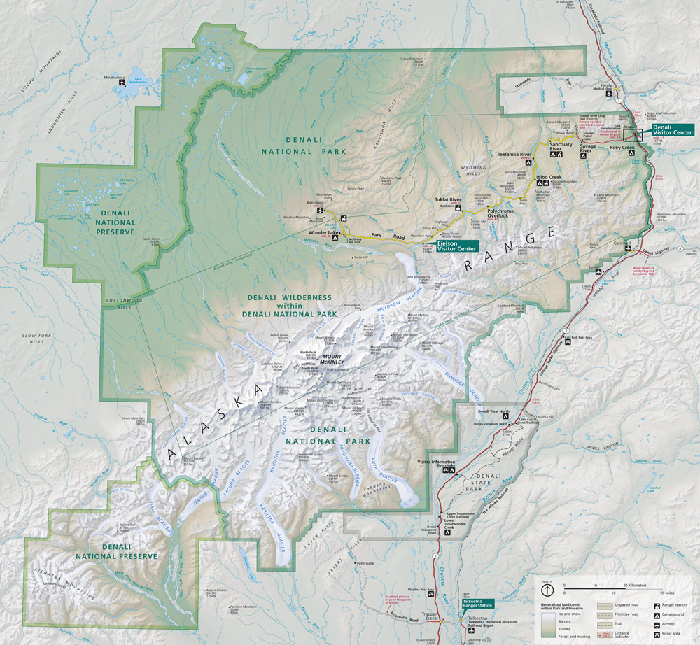
Brooks Glacier is a glacier in Denali National Park and Preserve in the U.S. state of Alaska. The glacier originates on the east face of Mount Silverthrone at Brooks Gap. The 9-mile (14 km) glacier moves northeast, joining Muldrow Glacier between Mount Brooks and Ragged Peak.[1][2] Brooks Glacier was named by T.G. Gerdine of the U.S. Geological Survey circa 1900 for geologist Alfred Hulse Brooks.[3]
See also[edit]
Cited references[edit]
- ^ "Map of Denali National Park and Preserve". Denali National Park and Preserve. National Park Service. Retrieved 25 March 2013.
- ^ Denali National Park and Preserve (Map). !:225,000. National Geographic Maps. 2007. ISBN 978-1-56695-328-3.
- ^ "Brooks Glacier". Geographic Names Information System. United States Geological Survey, United States Department of the Interior. Retrieved 2013-04-01.
This article about a glacier in Alaska is a stub. You can help Wikipedia by expanding it. |