Cheviot, Victoria
| Cheviot Victoria | |
|---|---|
 The historic railway tunnel at Cheviot | |
| Coordinates | 37°13′S 145°28′E / 37.217°S 145.467°E |
| Postcode(s) | 3717 |
| LGA(s) | Shire of Murrindindi |
| State electorate(s) | Eildon |
| Federal division(s) | Indi |
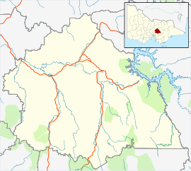
Cheviot is a locality in Victoria, Australia in the Shire of Murrindindi local government area.
History[edit]
The locality was named after a nearby pastoral run called Cheviot Hills, which in turn was named after the locality on the English-Scottish border. It was also called Ross Creek.[1][2] From 1889 until 1978 there was an active railway station here on the now historic and abandoned Cheviot railway station which took route on the Mansfield-Tallarook line. Cheviot Post Office opened on 9 April 1890 after the arrival of the railway, and closed in 1944.[3] The rails have gone but an old goods shed survives, and to the northeast the Cheviot Tunnel provides an excellent example of brick workmanship of the nineteenth century.
A Ross Creek Post Office opened on 14 October 1865 and closed in 1969.[3]
References[edit]
- ^ Nigel Sinnott, Place-names of the Alexandra, Lake Eildon and Big River area of Victoria (ISBN 0957-809-80-8)
- ^ Harvey Blanks, The Story of Yea (ISBN 0725-601-07-8)
- ^ a b Phoenix Auctions History, Post Office List, retrieved 24 March 2021


