
File:08 tory railtrack ubt.jpeg

Size of this preview: 800 × 600 pixels. Other resolutions: 320 × 240 pixels | 640 × 480 pixels | 1,024 × 768 pixels.
Original file (1,024 × 768 pixels, file size: 134 KB, MIME type: image/jpeg)
| This is a file from the Wikimedia Commons. Information from its description page there is shown below. Commons is a freely licensed media file repository. You can help. |
Summary
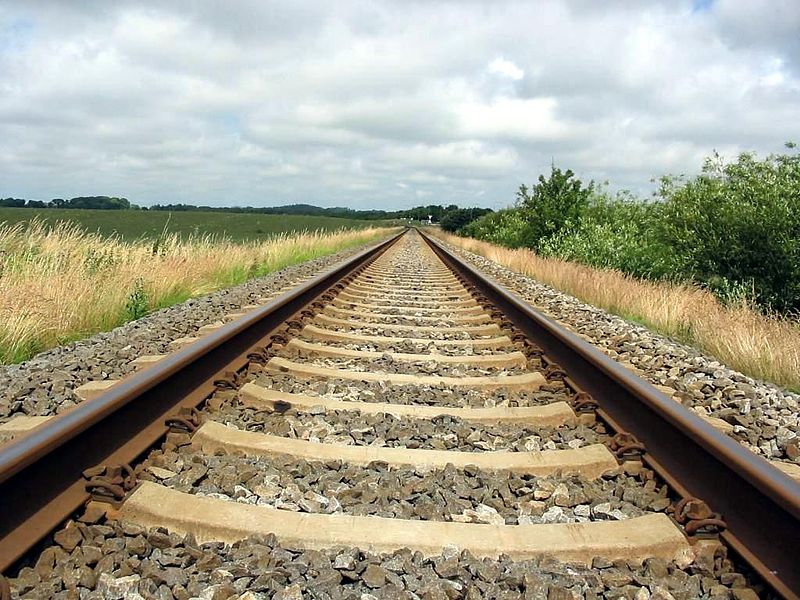
| Description | Image taken in Northern Denmark (Hjørring - Hirtshals line; see en:Nordjyske Jernbaner, ved Herregårdsparken) |
| Date | |
| Source | Photograph by Tomasz Sienicki |
| Author | Tomasz Sienicki [user: tsca, mail: tomasz.sienicki at gmail.com] |
| Camera location | | View this and other nearby images on: OpenStreetMap |
|---|
This file is licensed under the Creative Commons Attribution 2.5 Generic license.
- You are free:
- to share – to copy, distribute and transmit the work
- to remix – to adapt the work
- Under the following conditions:
- attribution – You must give appropriate credit, provide a link to the license, and indicate if changes were made. You may do so in any reasonable manner, but not in any way that suggests the licensor endorses you or your use.

|
Permission is granted to copy, distribute and/or modify this document under the terms of the GNU Free Documentation License, Version 1.2 or any later version published by the Free Software Foundation; with no Invariant Sections, no Front-Cover Texts, and no Back-Cover Texts. A copy of the license is included in the section entitled GNU Free Documentation License. |
| This file is licensed under the Creative Commons Attribution-Share Alike 3.0 Unported license. | ||
| ||
| This licensing tag was added to this file as part of the GFDL licensing update. |
File history
Click on a date/time to view the file as it appeared at that time.
| Date/Time | Thumbnail | Dimensions | User | Comment | |
|---|---|---|---|---|---|
| current | 11:24, 13 November 2004 | | 1,024 × 768 (134 KB) | Tsca | © 2003 by Tomasz Sienicki {{GFDL}} |
File usage
The following pages on the English Wikipedia use this file (pages on other projects are not listed):
Global file usage
The following other wikis use this file:
- Usage on an.wikipedia.org
- Usage on ar.wikipedia.org
- Usage on az.wikipedia.org
- Usage on be-tarask.wikipedia.org
- Usage on be.wikipedia.org
- Usage on ca.wikipedia.org
- Usage on de.wikipedia.org
- Usage on eo.wikipedia.org
- Usage on es.wikipedia.org
- Usuario:Robertkostka
- Usuario:Luigimalatesta
- Usuario:Benedicto
- Usuario:Tecuicpanecatl
- Usuario:Rrrr
- Usuario:Diotime
- Usuario:Catibel
- Usuario:Cerato
- Usuario:Ejflores
- Usuario:Ojota
- Usuario:Niffweed17
- Usuario:Userbox/Usuario fan ferrocarriles
- Usuario:Oleg43
- Usuario:Luminordis
- Fiebre del caucho
- Usuario:Hanjin
- Usuario:Userbox/Intereses
- Usuario:X eduardo X
- Usuario:Maor X
- Usuario:Er Komandante/Mochilero
- Usuario:Benedicto/Userbox
- Usuario:Santiago matamoro
- Usuario:Rescrom
- Usuario:Chuky88
- Usuario:Emmanuelleonello/Mis Userboxes
- Usuario:Nachoyo
- Usuario:Zannngano
- Usuario:Dr. Strangelove~eswiki
- Usuario:Mortadelo2005
- Usuario:Sebasgs
- Usuario:ERPN
- Usuario:Shisato
- Usuario:Er Komandante/vacas
- Usuario:T1misk
- Usuario:Monte Argentario
- Usuario:Vatelys
- Usuario:Er Komandante
- Usuario:Arrap1988
View more global usage of this file.