
File:Amacuecamapa.PNG

Size of this preview: 615 × 599 pixels. Other resolutions: 246 × 240 pixels | 493 × 480 pixels | 788 × 768 pixels | 1,271 × 1,238 pixels.
Original file (1,271 × 1,238 pixels, file size: 213 KB, MIME type: image/png)
| This is a file from the Wikimedia Commons. Information from its description page there is shown below. Commons is a freely licensed media file repository. You can help. |
Summary
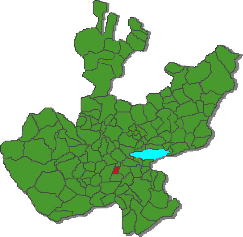
| Description | Ubicacion del municpio de Amacuencaen el mapa de Jalisco |
| Date | Domingo, 18 de Febrero 2007 |
| Source | Own work |
| Author | Humberto A.S.V HASV Humberto, Mex. 04:53, 19 February 2007 (UTC) |
Licensing
I, the copyright holder of this work, hereby publish it under the following license:
This file is licensed under the Creative Commons Attribution-Share Alike 2.5 Generic license.
- You are free:
- to share – to copy, distribute and transmit the work
- to remix – to adapt the work
- Under the following conditions:
- attribution – You must give appropriate credit, provide a link to the license, and indicate if changes were made. You may do so in any reasonable manner, but not in any way that suggests the licensor endorses you or your use.
- share alike – If you remix, transform, or build upon the material, you must distribute your contributions under the same or compatible license as the original.
File history
Click on a date/time to view the file as it appeared at that time.
| Date/Time | Thumbnail | Dimensions | User | Comment | |
|---|---|---|---|---|---|
| current | 04:53, 19 February 2007 | | 1,271 × 1,238 (213 KB) | Humberto | {{Information |Description= Ubicacion del municpio de Amacuencaen el mapa de Jalisco |Source= «trabajo propio» |Date= Domingo, 18 de Febrero 2007 |Author= Humberto A.S.V HASV ~~~~ |Permission= Ver abajo |other_versions= }} [[Category:Maps of Jal |
File usage
No pages on the English Wikipedia use this file (pages on other projects are not listed).
Global file usage
The following other wikis use this file: