
File:BelfastWestConstituency.svg

Size of this PNG preview of this SVG file: 736 × 600 pixels. Other resolutions: 295 × 240 pixels | 589 × 480 pixels | 942 × 768 pixels | 1,256 × 1,024 pixels | 2,513 × 2,048 pixels | 779 × 635 pixels.
Original file (SVG file, nominally 779 × 635 pixels, file size: 135 KB)
| This is a file from the Wikimedia Commons. Information from its description page there is shown below. Commons is a freely licensed media file repository. You can help. |
Summary
| Description |
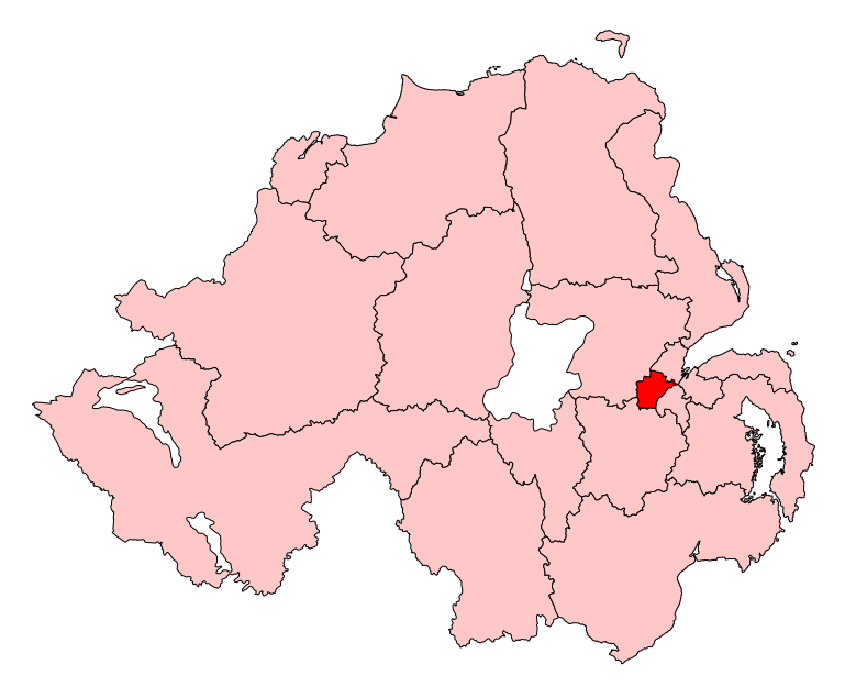
English: Map of the UK Parliament constituency of Belfast West within Northern Ireland. |
| Source | Own work |
| Author | Wereon |
Licensing
| I, the copyright holder of this work, release this work into the public domain. This applies worldwide. In some countries this may not be legally possible; if so: I grant anyone the right to use this work for any purpose, without any conditions, unless such conditions are required by law. |
File history
Click on a date/time to view the file as it appeared at that time.
| Date/Time | Thumbnail | Dimensions | User | Comment | |
|---|---|---|---|---|---|
| current | 11:11, 14 May 2017 | | 779 × 635 (135 KB) | FlyingChrysalis | Current (2008) boundaries with old colours. Derived from File:United Kingdom general election, 2015 (Northern Ireland).svg |
| 17:11, 12 May 2017 |  | 650 × 520 (150 KB) | FlyingChrysalis | Colours and 2010 boundaries | |
| 14:13, 1 April 2007 |  | 280 × 225 (87 KB) | Wereon | Map of the UK Parliament constituency of Belfast West within Northern Ireland. Category:Maps of Parliamentary constituencies in Northern Ireland |
.svg)
File usage
The following pages on the English Wikipedia use this file (pages on other projects are not listed):
- 5th Northern Ireland Assembly
- 6th Northern Ireland Assembly
- 7th Northern Ireland Assembly
- Belfast West (Assembly constituency)
- Belfast West (UK Parliament constituency)
- List of parliamentary constituencies in Northern Ireland
- User:FlyingChrysalis/sandbox/For 5th NI Assembly
- User:FlyingChrysalis/sandbox/For 6th NI Assembly
- User:JamesHawkes0161/sandbox
Global file usage
The following other wikis use this file:
- Usage on de.wikipedia.org
- Usage on fr.wikipedia.org
- Usage on it.wikipedia.org
- Usage on pl.wikipedia.org
- Usage on simple.wikipedia.org
- Usage on zh.wikipedia.org