
File:Brazilian States.svg

Size of this PNG preview of this SVG file: 681 × 600 pixels. Other resolutions: 273 × 240 pixels | 545 × 480 pixels | 872 × 768 pixels | 1,163 × 1,024 pixels | 2,325 × 2,048 pixels | 780 × 687 pixels.
Original file (SVG file, nominally 780 × 687 pixels, file size: 637 KB)
| This is a file from the Wikimedia Commons. Information from its description page there is shown below. Commons is a freely licensed media file repository. You can help. |
| This image was created / taken by João Felipe C.S. |
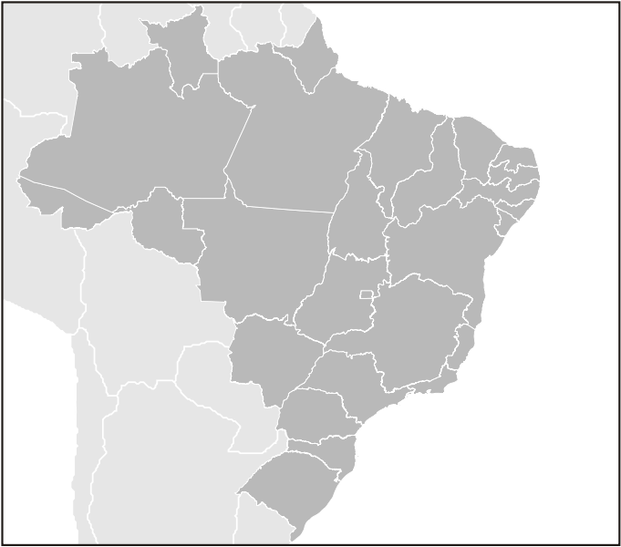
| Description |
English: Map of Brazilian states divisions.
Português: Mapa das divisões dos estados brasileiros.
This W3C-unspecified vector image was created with Inkscape . |
||||||||
| Date | |||||||||
| Source | Own work | ||||||||
| Author | Felipe Menegaz | ||||||||
| Permission (Reusing this file) |
I, Felipe Menegaz, the copyright holder of this work, hereby publishes it under the following licenses:
This file is licensed under the Creative Commons Attribution-Share Alike 2.5 Generic, 2.0 Generic and 1.0 Generic license. Attribution: I, Felipe Menegaz
You may select the license of your choice. |
||||||||
| Other versions |
Derivative works of this file: FlorestaOmbrófilaMista.jpg |


File history
Click on a date/time to view the file as it appeared at that time.
| Date/Time | Thumbnail | Dimensions | User | Comment | |
|---|---|---|---|---|---|
| current | 00:03, 12 June 2007 | | 780 × 687 (637 KB) | Felipe Menegaz | {{User:João Felipe C.S/by}} {{Information |Description= {{en|Map of Brazilian states divisions.}} {{pt|Mapa das divisões dos estados brasileiros.}} ---- {{Inkscape}} |Source= Own work |Date= June 11, 2007 |Author= [[User:João Felipe C.S|João Felipe C |
File usage
The following pages on the English Wikipedia use this file (pages on other projects are not listed):
Global file usage
The following other wikis use this file:
- Usage on azb.wikipedia.org
- Usage on fr.wikiversity.org
- Usage on fr.wiktionary.org
- Usage on incubator.wikimedia.org
- Usage on pl.wikipedia.org
- Usage on pt.wikipedia.org
- Usage on pt.wikinews.org
- Usage on ru.wikipedia.org
- Usage on vi.wiktionary.org