
File:Carrick Cumnock and Doon Valley C Ward Map 2011.svg

Size of this PNG preview of this SVG file: 634 × 600 pixels. Other resolutions: 254 × 240 pixels | 507 × 480 pixels | 812 × 768 pixels | 1,082 × 1,024 pixels | 2,165 × 2,048 pixels | 1,021 × 966 pixels.
Original file (SVG file, nominally 1,021 × 966 pixels, file size: 369 KB)
| This is a file from the Wikimedia Commons. Information from its description page there is shown below. Commons is a freely licensed media file repository. You can help. |
Summary
| Description |
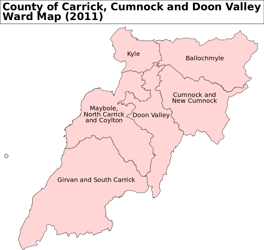
English: A map showing the wards of the Carrick, Cumnock and Doon Valley constituency as of 2011. Key: Ward Boundaries |
| Date | |
| Source | Own work |
| Author | Brythones |
Licensing
I, the copyright holder of this work, hereby publish it under the following license:
This file is licensed under the Creative Commons Attribution-Share Alike 4.0 International license.
- You are free:
- to share – to copy, distribute and transmit the work
- to remix – to adapt the work
- Under the following conditions:
- attribution – You must give appropriate credit, provide a link to the license, and indicate if changes were made. You may do so in any reasonable manner, but not in any way that suggests the licensor endorses you or your use.
- share alike – If you remix, transform, or build upon the material, you must distribute your contributions under the same or compatible license as the original.
File history
Click on a date/time to view the file as it appeared at that time.
| Date/Time | Thumbnail | Dimensions | User | Comment | |
|---|---|---|---|---|---|
| current | 20:37, 3 May 2016 | | 1,021 × 966 (369 KB) | Renamed user OCfxJKu7j2 | User created page with UploadWizard |
File usage
The following pages on the English Wikipedia use this file (pages on other projects are not listed):