
File:Croatia location map, Zagreb county.svg

Size of this PNG preview of this SVG file: 619 × 599 pixels. Other resolutions: 248 × 240 pixels | 496 × 480 pixels | 793 × 768 pixels | 1,058 × 1,024 pixels | 2,116 × 2,048 pixels | 1,097 × 1,062 pixels.
Original file (SVG file, nominally 1,097 × 1,062 pixels, file size: 498 KB)
| This is a file from the Wikimedia Commons. Information from its description page there is shown below. Commons is a freely licensed media file repository. You can help. |
| Description |
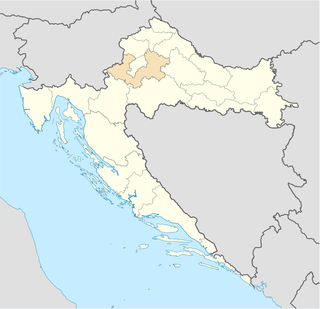
Deutsch: Positionskarte von Kroatien Hervorhebung der Gespanschaft Zagreb. Quadratische Plattkarte, N-S-Streckung 140 %. Geographische Begrenzung der Karte: * N: 46.8° N * S: 42.1° N * W: 13.1° O * O: 19.9° O English: Location map of Croatia Zagreb county highlighted. Equirectangular projection, N/S stretching 140 %. Geographic limits of the map: * N: 46.8° N * S: 42.1° N * W: 13.1° E * E: 19.9° E |
| Date | (UTC) |
| Source | |
| Author |
|
| This is a retouched picture, which means that it has been digitally altered from its original version. The original can be viewed here: Croatia location map.svg:
|
I, the copyright holder of this work, hereby publish it under the following licenses:
This file is licensed under the Creative Commons Attribution-Share Alike 3.0 Unported license.
- You are free:
- to share – to copy, distribute and transmit the work
- to remix – to adapt the work
- Under the following conditions:
- attribution – You must give appropriate credit, provide a link to the license, and indicate if changes were made. You may do so in any reasonable manner, but not in any way that suggests the licensor endorses you or your use.
- share alike – If you remix, transform, or build upon the material, you must distribute your contributions under the same or compatible license as the original.

|
Permission is granted to copy, distribute and/or modify this document under the terms of the GNU Free Documentation License, Version 1.2 or any later version published by the Free Software Foundation; with no Invariant Sections, no Front-Cover Texts, and no Back-Cover Texts. A copy of the license is included in the section entitled GNU Free Documentation License. |
You may select the license of your choice.
Original upload log
This image is a derivative work of the following images:
- Image:Croatia_location_map.svg licensed with Cc-by-sa-3.0, GFDL
- 2008-08-29T08:00:53Z NordNordWest 1097x1062 (491312 Bytes)
- 2008-07-30T15:54:56Z NordNordWest 548x531 (421799 Bytes) more detailed borderlines
- 2008-07-16T16:55:30Z NordNordWest 548x531 (465194 Bytes) {{Information |Description= {{de|Positionskarte von [[:de:Kroatien|Kroatien]]}} Quadratische Plattkarte, N-S-Streckung 140 %. Geographische Begrenzung der Karte: * N: 46.8° N * S: 42.1° N * W: 13.1° O * O: 19.9° O {{en|Lo
Uploaded with derivativeFX
File history
Click on a date/time to view the file as it appeared at that time.
| Date/Time | Thumbnail | Dimensions | User | Comment | |
|---|---|---|---|---|---|
| current | 19:53, 29 June 2009 | | 1,097 × 1,062 (498 KB) | Minestrone | County color update |
| 23:02, 7 September 2008 |  | 1,097 × 1,062 (541 KB) | Minestrone | {{Information |Description={{de|Positionskarte von Kroatien}} Hervorhebung der Gespanschaft Zagreb. Quadratische Plattkarte, N-S-Streckung 140 %. Geographische Begrenzung der Karte: * N: 46.8° N * S: 42.1° N * W: 13.1° O * O: 19.9° O |
File usage
No pages on the English Wikipedia use this file (pages on other projects are not listed).
Global file usage
The following other wikis use this file:
- Usage on ar.wikipedia.org
- Usage on arz.wikipedia.org
- Usage on ca.wikipedia.org
- Usage on de.wikipedia.org
- Velika Gorica
- Samobor
- Sveta Nedelja
- Krašić
- Zaprešić
- Križ
- Dugo Selo
- Jastrebarsko
- Sveti Ivan Zelina
- Vrbovec (Kroatien)
- Gradec (Kroatien)
- Gornji Tkalec
- Bregana
- Pisarovina
- Ivanić-Grad
- Negovec
- Harmica
- Brckovljani
- Preseka (Kroatien)
- Rakovec (Zagreb)
- Kamenica (Preseka)
- Pokupsko
- Dubrava (Nordkroatien)
- Banovo
- Gaj (Vrbovec)
- Buševec
- Paucovec
- Žumberak (Kroatien)
- Usage on eo.wikipedia.org
- Usage on es.wikipedia.org
- Usage on fi.wikipedia.org
- Usage on frr.wikipedia.org
- Usage on fr.wikipedia.org
- Usage on id.wikipedia.org
- Usage on lt.wikipedia.org
- Usage on mk.wikipedia.org
- Usage on pl.wikipedia.org
- Usage on pnb.wikipedia.org
- Usage on pt.wikipedia.org
- Usage on ro.wikipedia.org
- Usage on se.wikipedia.org
- Usage on sl.wikipedia.org
- Usage on ur.wikipedia.org
- Usage on www.wikidata.org
- Usage on zh-min-nan.wikipedia.org