
File:Cropredy, by Cropredy Bridge - geograph.org.uk - 1297392.jpg
No higher resolution available.
Cropredy,_by_Cropredy_Bridge_-_geograph.org.uk_-_1297392.jpg (640 × 427 pixels, file size: 349 KB, MIME type: image/jpeg)
| This is a file from the Wikimedia Commons. Information from its description page there is shown below. Commons is a freely licensed media file repository. You can help. |
Summary
| Description |
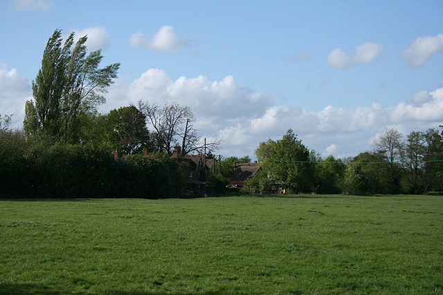
English: Cropredy: by Cropredy Bridge The site of a battle in the English Civil War, June 1644, between armies led by King Charles I and Sir William Waller. Wallers forces attacked the Royalists but were driven back by the kings cavalry. Some of Wallers 9,000 strong army subsequently mutinied; the king was then free to defeat a second parliamentarian army led by the Earl of Essex that had been defending Oxford |
| Date | |
| Source | From geograph.org.uk |
| Author | Martin Bodman |
| Attribution (required by the license) | Martin Bodman / Cropredy: by Cropredy Bridge / |
| Camera location | | View this and other nearby images on: OpenStreetMap |
|---|
_heading:0.00&language=en)
| Object location | | View this and other nearby images on: OpenStreetMap |
|---|
_heading:0.00&language=en)
Licensing

|
This image was taken from the Geograph project collection. See this photograph's page on the Geograph website for the photographer's contact details. The copyright on this image is owned by Martin Bodman and is licensed for reuse under the Creative Commons Attribution-ShareAlike 2.0 license.
|
This file is licensed under the Creative Commons Attribution-Share Alike 2.0 Generic license.
Attribution: Martin Bodman
- You are free:
- to share – to copy, distribute and transmit the work
- to remix – to adapt the work
- Under the following conditions:
- attribution – You must give appropriate credit, provide a link to the license, and indicate if changes were made. You may do so in any reasonable manner, but not in any way that suggests the licensor endorses you or your use.
- share alike – If you remix, transform, or build upon the material, you must distribute your contributions under the same or compatible license as the original.
File history
Click on a date/time to view the file as it appeared at that time.
| Date/Time | Thumbnail | Dimensions | User | Comment | |
|---|---|---|---|---|---|
| current | 09:15, 27 February 2011 | | 640 × 427 (349 KB) | GeographBot | == {{int:filedesc}} == {{Information |description={{en|1=Cropredy: by Cropredy Bridge The site of a battle in the English Civil War, June 1644, between armies led by King Charles I and Sir William Waller. Wallers forces attacked the Royalists but were d |
File usage
The following pages on the English Wikipedia use this file (pages on other projects are not listed):
Global file usage
The following other wikis use this file:
- Usage on www.wikidata.org