
File:East Fork Fire Burn Scar.jpg

Size of this preview: 799 × 599 pixels. Other resolutions: 320 × 240 pixels | 640 × 480 pixels | 1,024 × 768 pixels | 1,280 × 960 pixels | 2,597 × 1,948 pixels.
Original file (2,597 × 1,948 pixels, file size: 2.48 MB, MIME type: image/jpeg)
| This is a file from the Wikimedia Commons. Information from its description page there is shown below. Commons is a freely licensed media file repository. You can help. |
Summary
| Description | |
| Date | |
| Source | NASA Earth Observatory |
| Author | NASA/GSFC/MITI/ERSDAC/JAROS, and U.S./Japan ASTER Science Team |
| Camera location | | View this and other nearby images on: OpenStreetMap |
|---|
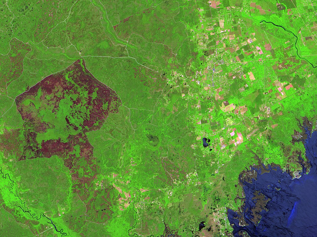
Image captured by the Advanced Spaceborne Thermal Emission and Reflection Radiometer (ASTER) on the Terra satellite.
Licensing
| This file is in the public domain in the United States because it was solely created by NASA. NASA copyright policy states that "NASA material is not protected by copyright unless noted". (See Template:PD-USGov, NASA copyright policy page or JPL Image Use Policy.) | ||
 |
Warnings:
|
File history
Click on a date/time to view the file as it appeared at that time.
| Date/Time | Thumbnail | Dimensions | User | Comment | |
|---|---|---|---|---|---|
| current | 15:25, 28 April 2010 | | 2,597 × 1,948 (2.48 MB) | Originalwana | {{Information |Description={{en|1=This image shows the large area burned by the fire, which appears as dark pink ring-shaped patch at the left side of the scene. Vegetation appears green, and naturally bare [[:Category:Soil| |
File usage
The following pages on the English Wikipedia use this file (pages on other projects are not listed):