
File:Ehpdistricts.svg

Size of this PNG preview of this SVG file: 547 × 600 pixels. Other resolutions: 219 × 240 pixels | 438 × 480 pixels | 700 × 768 pixels | 934 × 1,024 pixels | 1,868 × 2,048 pixels | 840 × 921 pixels.
Original file (SVG file, nominally 840 × 921 pixels, file size: 60 KB)
| This is a file from the Wikimedia Commons. Information from its description page there is shown below. Commons is a freely licensed media file repository. You can help. |
Summary
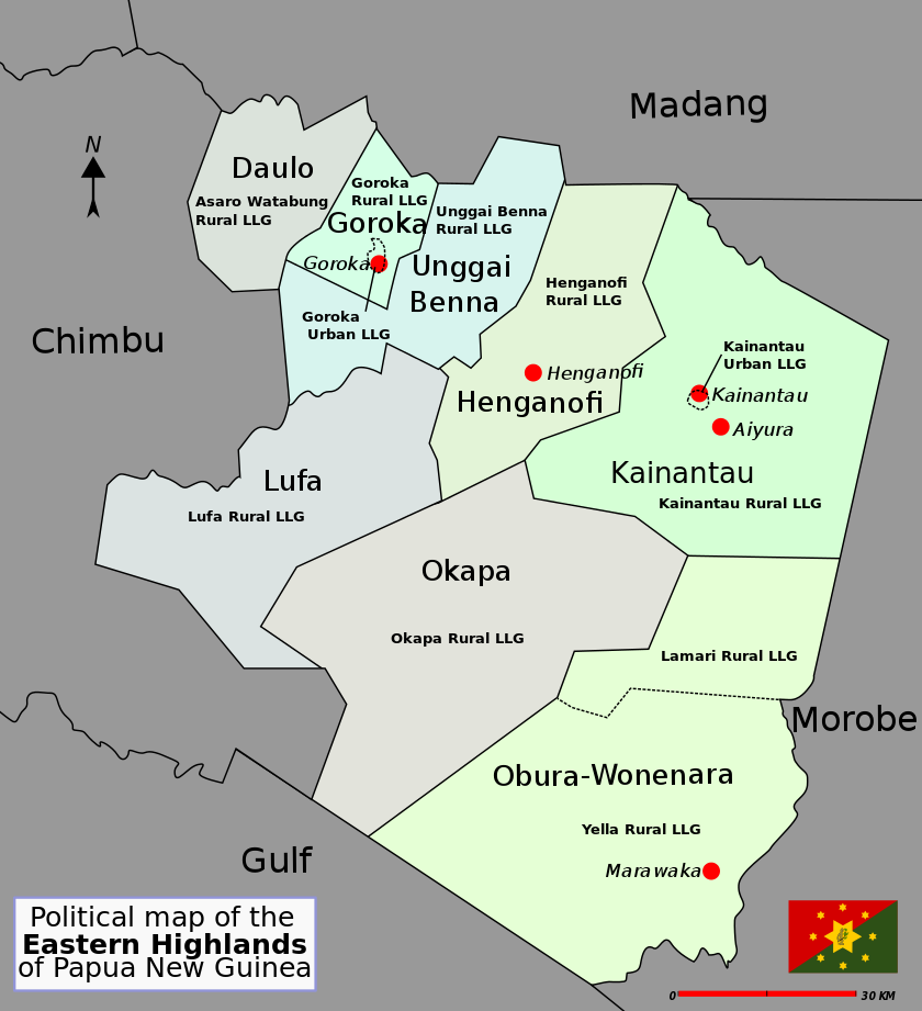
| Description | District map of Eastern Highlands Province, Papua New Guinea |
| Date | |
| Source | Own work |
| Author | Alaisd |
Licensing
| This work has been released into the public domain by its author, Alaisd. This applies worldwide. In some countries this may not be legally possible; if so: Alaisd grants anyone the right to use this work for any purpose, without any conditions, unless such conditions are required by law. |
File history
Click on a date/time to view the file as it appeared at that time.
| Date/Time | Thumbnail | Dimensions | User | Comment | |
|---|---|---|---|---|---|
| current | 06:11, 12 July 2007 | | 840 × 921 (60 KB) | Aliasd | |
| 17:42, 11 July 2007 |  | 840 × 921 (42 KB) | Aliasd | ||
| 11:21, 7 July 2007 |  | 580 × 636 (27 KB) | Aliasd | ||
| 07:48, 29 June 2007 |  | 580 × 636 (20 KB) | Aliasd | {{Information |Description=District map of Papua New Guinea |Source=self-made |Date=2007 |Author= Alaisd }} | |
| 07:47, 29 June 2007 |  | 580 × 636 (20 KB) | Aliasd | {{Information |Description=District map of Papua New Guinea |Source=self-made |Date=2007 |Author= Alaisd }} |
File usage
The following pages on the English Wikipedia use this file (pages on other projects are not listed):
- Agarabi Rural LLG
- Districts of Papua New Guinea
- Dunantina Rural LLG
- East Okapa Rural LLG
- Eastern Highlands Province
- Fayantina Rural LLG
- Gadsup/Tairora Rural LLG
- Gahuku Rural LLG
- Goroka Urban LLG
- Kafentina Rural LLG
- Kainantu Urban LLG
- Kamano No. 1 Rural LLG
- Kamano No. 2 Rural LLG
- Lamari Rural LLG
- Local-level governments of Papua New Guinea
- Lower Asaro Rural LLG
- Lower Benna Rural LLG
- Mimanalo Rural LLG
- Mount Michael Rural LLG
- Unavi Rural LLG
- Unggai Rural LLG
- Upper Asaro Rural LLG
- Upper Benna Rural LLG
- Watabung Rural LLG
- West Okapa Rural LLG
- Wild man syndrome
- Yagaria Rural LLG
- Yelia Rural LLG
- User:Aliasd/Images/Maps
Global file usage
The following other wikis use this file:
- Usage on als.wikipedia.org
- Usage on de.wikipedia.org
- Usage on fa.wikipedia.org
- Usage on fr.wikipedia.org
- Usage on gl.wikipedia.org
- Usage on it.wikipedia.org
- Usage on ko.wikipedia.org
- Usage on nl.wikipedia.org
- Usage on pl.wikipedia.org
- Usage on uk.wikipedia.org
- Usage on zh.wikipedia.org