
File:Finger Lakes National Forest Map.jpg

Size of this preview: 364 × 600 pixels. Other resolutions: 146 × 240 pixels | 291 × 480 pixels | 850 × 1,400 pixels.
Original file (850 × 1,400 pixels, file size: 1.01 MB, MIME type: image/jpeg)
| This is a file from the Wikimedia Commons. Information from its description page there is shown below. Commons is a freely licensed media file repository. You can help. |


| Description |
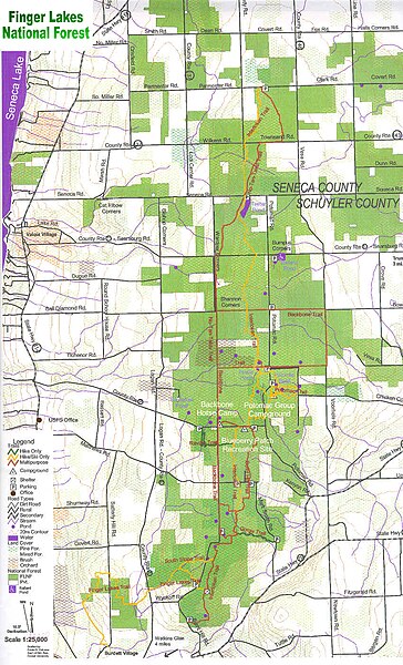
English: A map of the en:Finger Lakes National Forest in the en:Finger Lakes region of en:New York state.
References |
| Source | |
| Author |
Licensing
This image is a work of the Forest Service of the United States Department of Agriculture. As a work of the U.S. federal government, the image is in the public domain.
|
Original upload log
The original description page was here. All following user names refer to en.wikipedia.
- 2005-08-15 05:48 RockyRaccoon 850×1400× (1054346 bytes) A map of the [[Finger Lakes National Forest]] in the [[Finger Lakes]] region of [[New York]] state. ==References== *[http://www.fs.fed.us/r9/gmfl/fingerlakes/index.htm USDA Forest Service]
File history
Click on a date/time to view the file as it appeared at that time.
| Date/Time | Thumbnail | Dimensions | User | Comment | |
|---|---|---|---|---|---|
| current | 20:10, 19 March 2009 | | 850 × 1,400 (1.01 MB) | Urdangaray | {{Information |Description={{en|A map of the en:Finger Lakes National Forest in the en:Finger Lakes region of en:New York state. ==References== *[http://www.fs.fed.us/r9/gmfl/fingerlakes/index.htm USDA Forest Service]}} |Source=Transferred |
File usage
The following pages on the English Wikipedia use this file (pages on other projects are not listed):
Global file usage
The following other wikis use this file:
- Usage on de.wikipedia.org
- Usage on es.wikipedia.org