
File:Germany Slovakia Locator.png
Size of this preview: 560 × 599 pixels. Other resolutions: 224 × 240 pixels | 449 × 480 pixels | 1,000 × 1,070 pixels.
Original file (1,000 × 1,070 pixels, file size: 185 KB, MIME type: image/png)
| This is a file from the Wikimedia Commons. Information from its description page there is shown below. Commons is a freely licensed media file repository. You can help. |
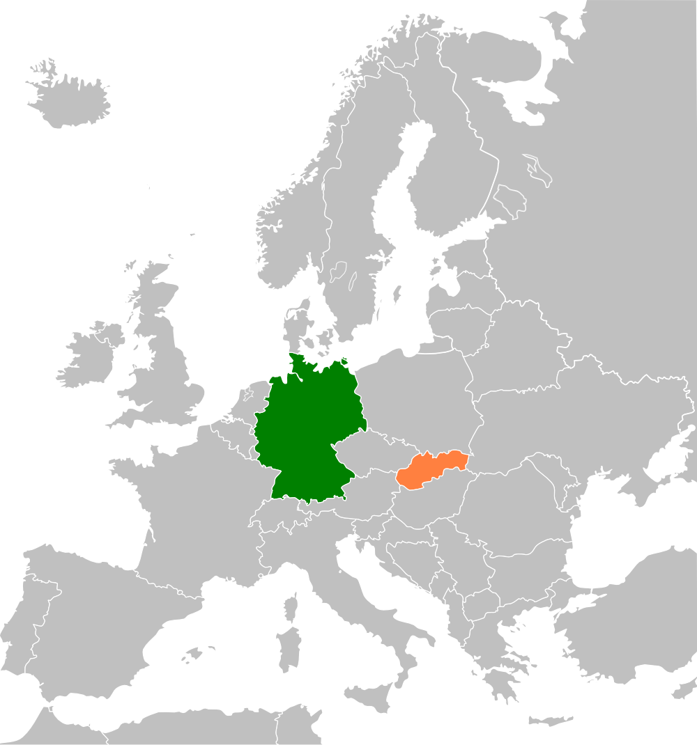
| Description | Map of Europe highlighting Germany and Slovakia, for an article on relations between the two countries |
| Date | (UTC) |
| Source | |
| Author |
|
| This is a retouched picture, which means that it has been digitally altered from its original version. Modifications: Highlighted Germany and Slovakia on the map. The original can be viewed here: Blank map of Europe cropped.svg:
|
I, the copyright holder of this work, hereby publish it under the following license:
This file is licensed under the Creative Commons Attribution-Share Alike 2.5 Generic license.
- You are free:
- to share – to copy, distribute and transmit the work
- to remix – to adapt the work
- Under the following conditions:
- attribution – You must give appropriate credit, provide a link to the license, and indicate if changes were made. You may do so in any reasonable manner, but not in any way that suggests the licensor endorses you or your use.
- share alike – If you remix, transform, or build upon the material, you must distribute your contributions under the same or compatible license as the original.
Original upload log
This image is a derivative work of the following images:
- File:Blank_map_of_Europe_cropped.svg licensed with Cc-by-sa-2.5
- 2009-04-30T19:51:36Z Insuranze 645x690 (269667 Bytes) code cleanup
- 2007-06-07T22:58:16Z Revolus 645x690 (540660 Bytes) {{Information | Description=Cropped version of [[:Image:Blank map of Europe.svg|Blank map of Europe.svg]] as descriped by its author. {{en|A blank Map of Europe in SVG format. Every country has an id which is its ISO-3116-1-
Uploaded with derivativeFX
File history
Click on a date/time to view the file as it appeared at that time.
| Date/Time | Thumbnail | Dimensions | User | Comment | |
|---|---|---|---|---|---|
| current | 22:30, 13 February 2013 | | 1,000 × 1,070 (185 KB) | Muns | colours adjusted |
| 12:30, 23 July 2009 |  | 2,254 × 2,350 (431 KB) | Aymatth2 | {{Information |Description= |Source=*File:Blank_map_of_Europe_cropped.svg |Date=2009-07-23 12:29 (UTC) |Author=*File:Blank_map_of_Europe_cropped.svg: Aymatth2 *derivative work: ~~~ |Permission=see below |other_versions= }} {{RetouchedPicture| |
File usage
The following pages on the English Wikipedia use this file (pages on other projects are not listed):
Global file usage
The following other wikis use this file:
- Usage on de.wikipedia.org
- Usage on fa.wikipedia.org
- Usage on he.wikipedia.org
- Usage on uz.wikipedia.org
- Usage on www.wikidata.org
- Usage on zh.wikipedia.org