
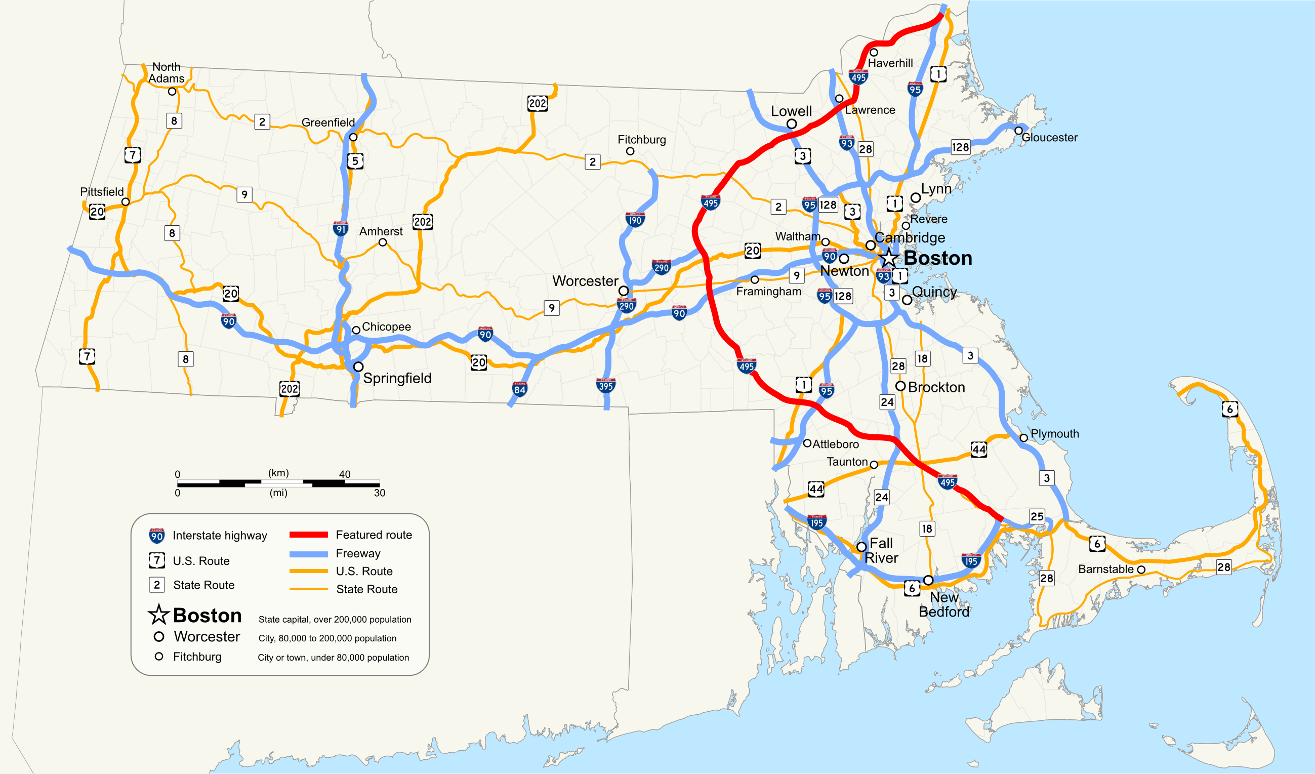
File:Interstate 495 Massachusetts.png
Size of this preview: 800 × 471 pixels. Other resolutions: 320 × 188 pixels | 640 × 377 pixels | 1,024 × 603 pixels | 1,280 × 753 pixels | 2,598 × 1,529 pixels.
Original file (2,598 × 1,529 pixels, file size: 1,015 KB, MIME type: image/png)
| This is a file from the Wikimedia Commons. Information from its description page there is shown below. Commons is a freely licensed media file repository. You can help. |
Summary
| Description | |
| Date | |
| Source | Own work by uploader, using Quantum GIS and Inkscape based on public data from Office of Geographic and Environmental Information (MassGIS), Commonwealth of Massachusetts Executive Office of Environmental Affairs - http://www.mass.gov/mgis/dd-over.htm |
| Author | Sswonk |
| PNG development |
Licensing
| I, the copyright holder of this work, release this work into the public domain. This applies worldwide. In some countries this may not be legally possible; if so: I grant anyone the right to use this work for any purpose, without any conditions, unless such conditions are required by law. |
File history
Click on a date/time to view the file as it appeared at that time.
| Date/Time | Thumbnail | Dimensions | User | Comment | |
|---|---|---|---|---|---|
| current | 03:35, 17 October 2009 | | 2,598 × 1,529 (1,015 KB) | Sswonk | Increase size, add highway shields, labels and legend |
| 22:09, 5 August 2008 |  | 1,074 × 632 (54 KB) | Sswonk | {{Information |Description={{en|1=Map of Interstate 495 Massachusetts}} |Source=Own work by uploader |Author=Sswonk |Date=2008-08-05 |Permission= |other_versions= }} {{ImageUpload|full}} [[Category:Maps of state highways in Massachusetts] |
File usage
No pages on the English Wikipedia use this file (pages on other projects are not listed).
Global file usage
The following other wikis use this file:
- Usage on de.wikipedia.org
- Usage on fr.wikipedia.org
- Usage on www.wikidata.org
- Usage on zh.wikipedia.org