
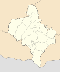
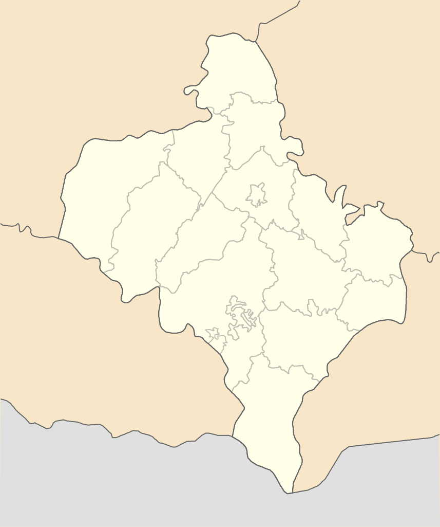
File:Ivano-Frankivsk province location map.svg

Size of this PNG preview of this SVG file: 502 × 600 pixels. Other resolutions: 201 × 240 pixels | 402 × 480 pixels | 643 × 768 pixels | 857 × 1,024 pixels | 1,714 × 2,048 pixels | 533 × 637 pixels.
Original file (SVG file, nominally 533 × 637 pixels, file size: 142 KB)
| This is a file from the Wikimedia Commons. Information from its description page there is shown below. Commons is a freely licensed media file repository. You can help. |
Summary
| Description |
English: Location map of Ivano-Frankivsk province, Ukraine
Русский: Позиционная карта Ивано-Франковской области, Украина
Українська: Карта Івано-Франківської області, Україна |
| Date | |
| Source | Own work |
| Author | Urutseg |
Licensing
| I, the copyright holder of this work, release this work into the public domain. This applies worldwide. In some countries this may not be legally possible; if so: I grant anyone the right to use this work for any purpose, without any conditions, unless such conditions are required by law. |
File history
Click on a date/time to view the file as it appeared at that time.
| Date/Time | Thumbnail | Dimensions | User | Comment | |
|---|---|---|---|---|---|
| current | 08:48, 29 June 2014 | | 533 × 637 (142 KB) | קרלוס הגדול | lighter borders between provinces |
| 11:33, 3 December 2010 |  | 533 × 637 (141 KB) | Urutseg | {{Information |Description={{en|1=Location map of Ivano-Frankivsk province, Ukraine}} {{ru|1=Позиционная карта Ивано-Франковской области, Украина}} |Source={{own}} |Author=Urutseg |Date=2010-1 |
File usage
No pages on the English Wikipedia use this file (pages on other projects are not listed).
Global file usage
The following other wikis use this file:
- Usage on ar.wikipedia.org
- Usage on be.wikipedia.org
- Івана-Франкоўск
- Далына
- Галіч (Івана-Франкоўская вобласць)
- Ярэмчэ
- Шаблон:На карце/Украіна Івана-Франкоўская вобласць
- Тлумач
- Балэхіў
- Калуш
- Тысмэныця
- Снятын
- Каламыя
- Надвірна
- Гарадэнка
- Косіў
- Яблуніў
- Чэрнэлыця
- Вэрхавына
- Варохта
- Салотвын
- Ражняціў
- Пэчэніжын
- Пэрэгінскэ
- Куты (Івана-Франкоўская вобласць)
- Ланчын
- Выгада (Івана-Франкоўская вобласць)
- Лысэць
- Забалоціў
- Дэлятын
- Гвіздэць
- Вайныліў
- Абэртын
- Атынія
- Багарадчаны
- Езупіль
- Быткіў
- Брошніў-Асада
- Букачыўцы
- Більшыўцы
- Мастышчэ (Тлумацкі раён)
- Мастышчэ (Калушскі раён)
- Підвысокэ (Снятынскі раён)
- Загір’я (Рагатынскі раён)
- Загір’я (Тлумацкі раён)
- Малыніўка (Рагатынскі раён)
- Навасілка (Тлумацкі раён)
- Ракавэць (Багарадчанскі раён)
- Ракавэць (Гарадэнкіўскі раён)
- Сэмэніўка (Гарадэнкіўскі раён)
- Бэрэжныця (Вэрхавынскі раён)
View more global usage of this file.