
File:Kabul province mountain (8735703666).jpg
Size of this preview: 799 × 392 pixels. Other resolutions: 320 × 157 pixels | 640 × 314 pixels | 1,024 × 502 pixels | 1,280 × 628 pixels | 2,560 × 1,256 pixels | 5,383 × 2,641 pixels.
Original file (5,383 × 2,641 pixels, file size: 1.73 MB, MIME type: image/jpeg)
| This is a file from the Wikimedia Commons. Information from its description page there is shown below. Commons is a freely licensed media file repository. You can help. |
.jpg)
Summary
| Description |
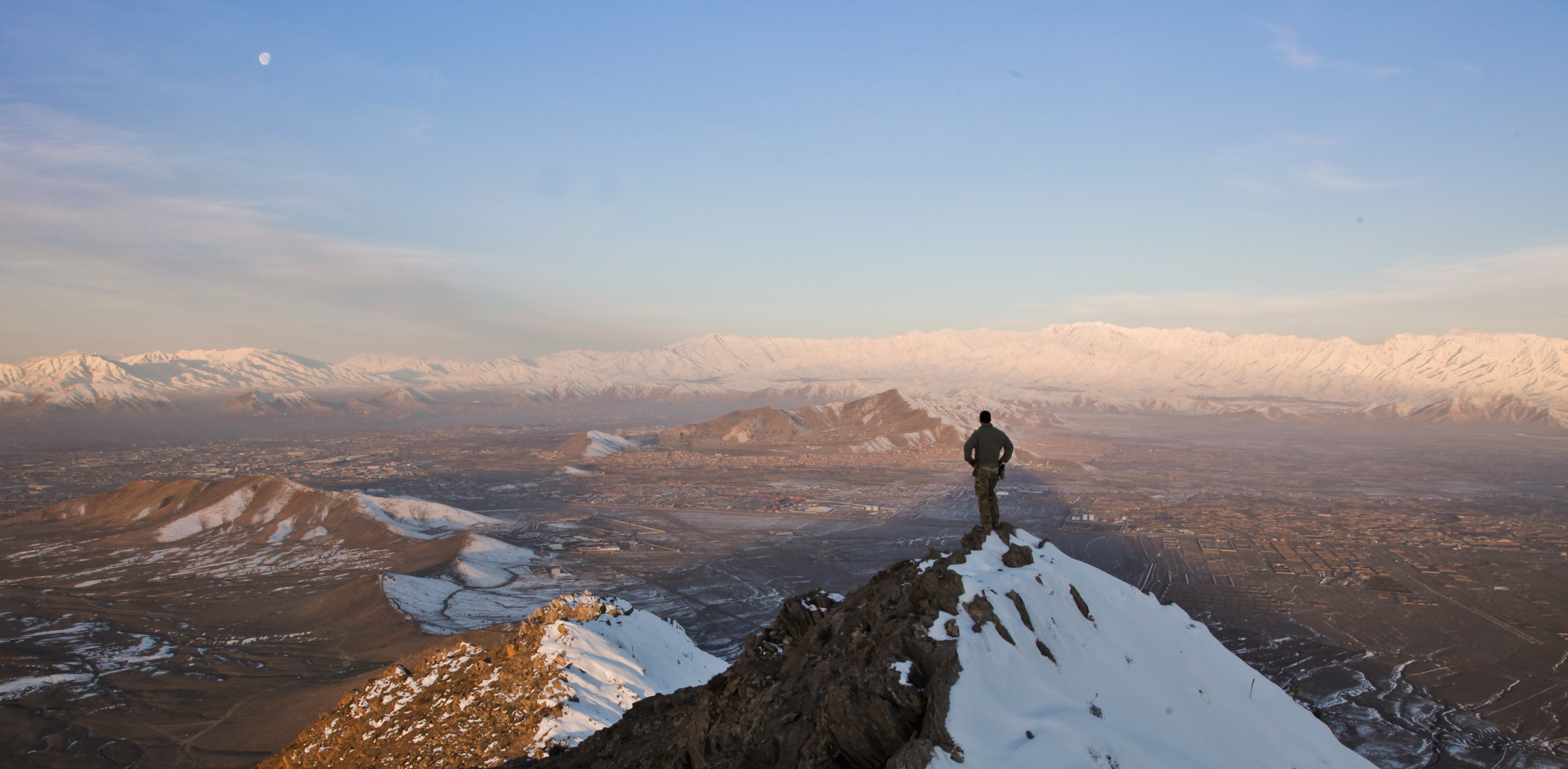
A coalition force member stands on top of a hill watching a snow-covered mountain range in Kabul province, Afghanistan, March 1, 2013. (U.S. Army photo by Sgt. Matthew Freire) A coalition force member stands on top of a hill watching a snow-covered mountain range in Kabul province, Afghanistan, March 1, 2013. (U.S. Army photo by Sgt. Matthew Freire) Photo by Sgt. Matthew Freire Date Taken:02.28.2013 Location:AF Read more: www.dvidshub.net/image/929452/kabul-province-mountain#.UZ... |
| Date | Taken on 28 February 2013 22:10 |
| Source | Kabul province mountain |
| Author | DVIDSHUB |
| Camera location | | View this and other nearby images on: OpenStreetMap |
|---|
.jpg¶ms=033.930450_N_0067.678939_E_globe:Earth_type:camera_source:Flickr_&language=en)
Licensing
This file is licensed under the Creative Commons Attribution 2.0 Generic license.
- You are free:
- to share – to copy, distribute and transmit the work
- to remix – to adapt the work
- Under the following conditions:
- attribution – You must give appropriate credit, provide a link to the license, and indicate if changes were made. You may do so in any reasonable manner, but not in any way that suggests the licensor endorses you or your use.
| This image was originally posted to Flickr by DVIDSHUB at https://flickr.com/photos/28650594@N03/8735703666. It was reviewed on 28 November 2016 by FlickreviewR and was confirmed to be licensed under the terms of the cc-by-2.0. |
This image is a work of a U.S. military or Department of Defense employee, taken or made as part of that person's official duties. As a work of the U.S. federal government, the image is in the public domain in the United States.
|
 |
File history
Click on a date/time to view the file as it appeared at that time.
| Date/Time | Thumbnail | Dimensions | User | Comment | |
|---|---|---|---|---|---|
| current | 03:39, 28 November 2016 | | 5,383 × 2,641 (1.73 MB) | Reguyla | Transferred from Flickr via Flickr2Commons |
File usage
The following pages on the English Wikipedia use this file (pages on other projects are not listed):
Global file usage
The following other wikis use this file:
- Usage on azb.wikipedia.org
- Usage on ca.wikipedia.org
- Usage on fa.wikipedia.org
- Usage on he.wikipedia.org
- Usage on ms.wikipedia.org
- Usage on sd.wikipedia.org
- Usage on simple.wikipedia.org
- Usage on ta.wikipedia.org
- Usage on vi.wikipedia.org
- Usage on zh-yue.wikipedia.org
- Usage on zh.wikipedia.org
.jpg)