
File:Kinnoull Tower from the east.jpg
No higher resolution available.
Kinnoull_Tower_from_the_east.jpg (640 × 480 pixels, file size: 191 KB, MIME type: image/jpeg)
| This is a file from the Wikimedia Commons. Information from its description page there is shown below. Commons is a freely licensed media file repository. You can help. |
| Description |
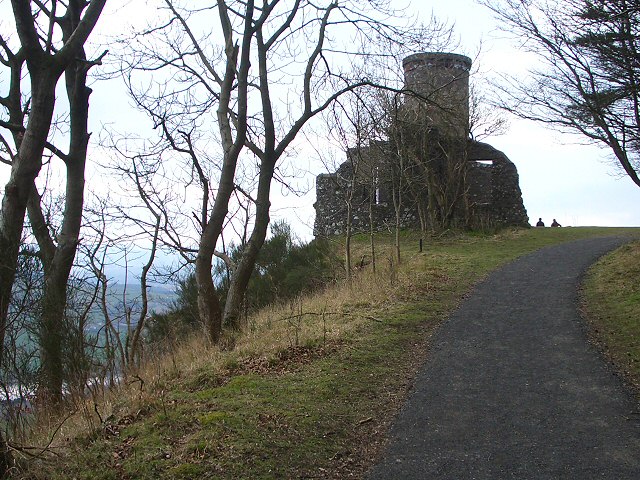
English: Kinnoull Tower, nr Perth, Scotland. A recently surfaced track runs along the top of the cliffs on Kinnoull Hill and makes a very popular walk for local families who enjoy the views from the level area around the tower. The tower itself is a folly built in the 18th century by the 9th Earl of Kinnoull in imitation of the castles on the Rhine in Germany. |
| Date | |
| Source | From geograph.org.uk |
| Author | Lis Burke |
| Permission (Reusing this file) |
Creative Commons Attribution Share-alike license 2.0 |
| Attribution (required by the license) | Lis Burke / Kinnoull Tower / |
| Camera location | | View this and other nearby images on: OpenStreetMap |
|---|

|
This image was taken from the Geograph project collection. See this photograph's page on the Geograph website for the photographer's contact details. The copyright on this image is owned by Lis Burke and is licensed for reuse under the Creative Commons Attribution-ShareAlike 2.0 license.
|
This file is licensed under the Creative Commons Attribution-Share Alike 2.0 Generic license.
Attribution: Lis Burke
- You are free:
- to share – to copy, distribute and transmit the work
- to remix – to adapt the work
- Under the following conditions:
- attribution – You must give appropriate credit, provide a link to the license, and indicate if changes were made. You may do so in any reasonable manner, but not in any way that suggests the licensor endorses you or your use.
- share alike – If you remix, transform, or build upon the material, you must distribute your contributions under the same or compatible license as the original.
Original upload log
The original description page was here. All following user names refer to en.wikipedia.
- 2008-03-28 21:38 Dudesleeper 640×480× (195233 bytes) {{Information |Description=[[Kinnoull Hill]]'s tower, [[Perth, Scotland]] |Source=https://www.geograph.org.uk/photo/375436 |Date= |Location= |Author=Lis Burke |Permission= |other_versions= }}
File history
Click on a date/time to view the file as it appeared at that time.
| Date/Time | Thumbnail | Dimensions | User | Comment | |
|---|---|---|---|---|---|
| current | 12:21, 22 November 2008 | | 640 × 480 (191 KB) | Angusmclellan | {{Information |Description={{en|Kinnoull Tower, nr Perth, Scotland. A recently surfaced track runs along the top of the cliffs on Kinnoull Hill and makes a very popular walk for local families who enjoy the views from the level area around the tower. The |
File usage
No pages on the English Wikipedia use this file (pages on other projects are not listed).