
File:Kyiv province location map.svg

Size of this PNG preview of this SVG file: 517 × 599 pixels. Other resolutions: 207 × 240 pixels | 414 × 480 pixels | 662 × 768 pixels | 883 × 1,024 pixels | 1,766 × 2,048 pixels | 533 × 618 pixels.
Original file (SVG file, nominally 533 × 618 pixels, file size: 199 KB)
| This is a file from the Wikimedia Commons. Information from its description page there is shown below. Commons is a freely licensed media file repository. You can help. |
Summary
| Description |
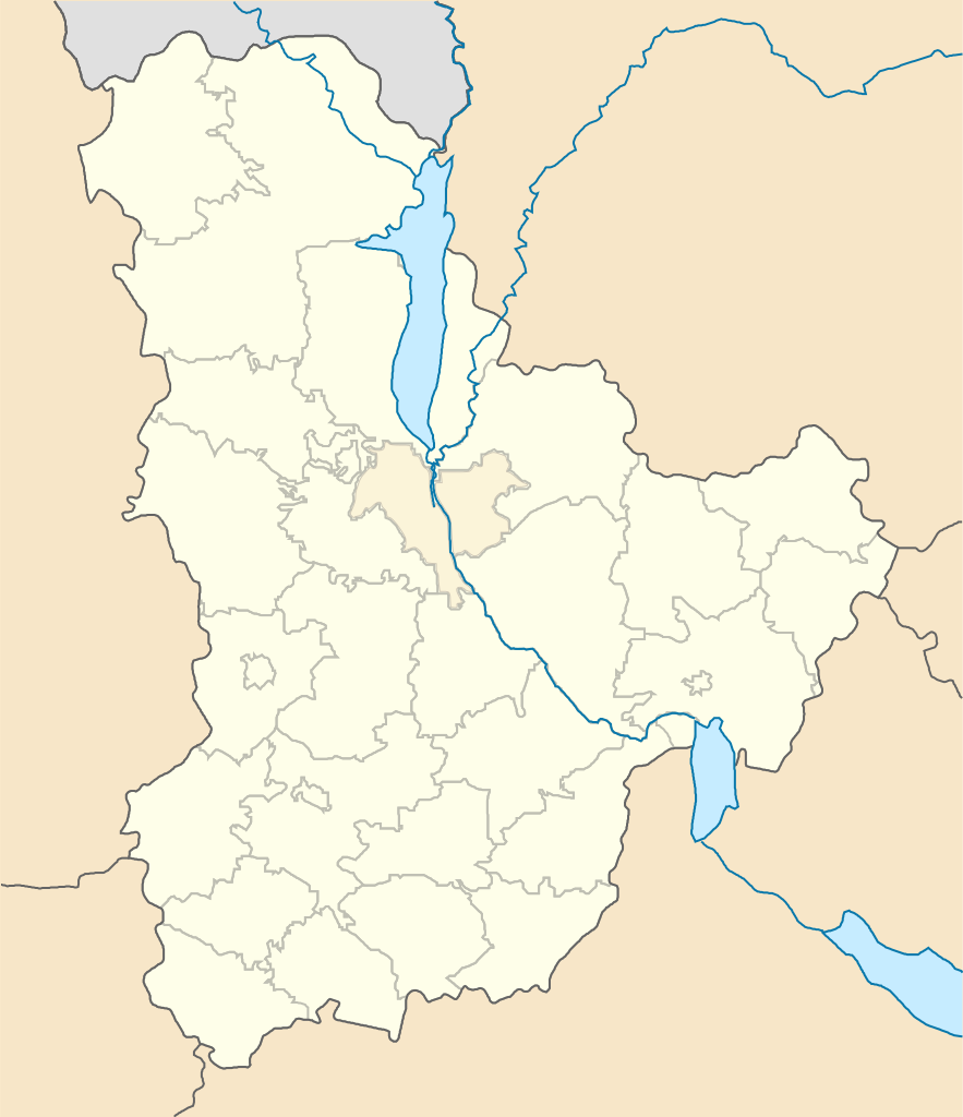
English: Location map of Kyiv province, Ukraine
Русский: Позиционная карта Киевской области, Украина
Українська: Позиційна карта Київської області, Україна |
| Date | |
| Source | Own work |
| Author | Artemco |
Licensing
| I, the copyright holder of this work, release this work into the public domain. This applies worldwide. In some countries this may not be legally possible; if so: I grant anyone the right to use this work for any purpose, without any conditions, unless such conditions are required by law. |
File history
Click on a date/time to view the file as it appeared at that time.
| Date/Time | Thumbnail | Dimensions | User | Comment | |
|---|---|---|---|---|---|
| current | 02:17, 13 September 2017 | | 533 × 618 (199 KB) | Paju~commonswiki | Reverted to version as of 21:04, 16 October 2016 (UTC), vandalism: wrong pic size loaded creates alignment problems practically in all (hundreds/thousands) articles using location map based on this map, besides Dnipro river/ Kiev reservoir were missing |
| 17:37, 15 May 2017 |  | 330 × 414 (32 KB) | Artemco | Reverted to version as of 18:44, 17 August 2015 (UTC) | |
| 21:04, 16 October 2016 |  | 533 × 618 (199 KB) | JohnBlackburne | Reverted to version as of 09:48, 29 June 2014 (UTC) alignment problems | |
| 21:04, 16 October 2016 |  | 533 × 618 (199 KB) | JohnBlackburne | Reverted to version as of 09:48, 29 June 2014 (UTC) alignment problems | |
| 18:44, 17 August 2015 |  | 330 × 414 (32 KB) | Artemco | перерисован заново, уточнены границы, добавлены города областного подчинения | |
| 09:48, 29 June 2014 |  | 533 × 618 (199 KB) | קרלוס הגדול | lighter borders between provinces | |
| 23:52, 3 May 2014 |  | 533 × 618 (199 KB) | Knyaz-1988 | New version | |
| 18:04, 3 December 2010 |  | 533 × 618 (216 KB) | Urutseg | == Summary == {{Information |Description={{en|1=Location map of Kyiv province, Ukraine}} {{ru|1=Позиционная карта Киевской области, Украина}} |Source={{own}} |Author=Urutseg |Date=2010-12-03 |Permissi |
File usage
No pages on the English Wikipedia use this file (pages on other projects are not listed).
Global file usage
The following other wikis use this file:
- Usage on ar.wikipedia.org
- Usage on bg.wikipedia.org
- Usage on bn.wikipedia.org
- Usage on ceb.wikipedia.org
- Usage on de.wikipedia.org
- Usage on el.wikipedia.org
- Usage on eo.wikipedia.org
- Borispilo
- Bila Cerkvo
- Bariŝiŭka
- Perejaslav
- Ŝablono:Situo sur mapo Ukrainio Kieva provinco
- Irpin
- Kijiv-Pasaĵirskij (stacidomo)
- Bila Cerkva (stacidomo)
- Brovari
- Brovari (stacidomo)
- Darnicja (stacidomo)
- Vidubiĉi (stacidomo)
- Vidubiĉi-Tripilski (stacidomo)
- Borispil (stacidomo)
- Berezan (stacidomo)
- Berezan
- Buĉa (stacidomo)
- Irpin (stacidomo)
- Fastiv-1 (stacidomo)
- Fastiv-2 (stacidomo)
- Fastiv
- Bojarka (stacidomo)
- Bojarka
- Viŝneve (stacidomo)
- Viŝneve
- Kijiv-Demijivskij (stacidomo)
- Kijiv-Volinskij (stacidomo)
- Kijiv-Dniprovskij (stacidomo)
- Poĉajna (stacidomo)
- Svjatoŝin (stacidomo)
- Mironivka (stacidomo)
- Mironivka
- Borodjanka (stacidomo)
- Borodjanka
- Livij Bereh (stacidomo)
- Livobereĵna (stacidomo)
- Sirec (stacidomo)
- Karavajevi Daĉi (stacidomo)
- Borŝĉahivka (stacidomo)
- Rubeĵivskij (stacidomo)
- Viŝhorodska (stacidomo)
- Zenit (stacidomo)
- Trojeŝĉina (stacidomo)
- Trojeŝĉina-2 (stacidomo)
View more global usage of this file.