
File:Location Map Palembang.png

Size of this preview: 720 × 600 pixels. Other resolutions: 288 × 240 pixels | 576 × 480 pixels | 922 × 768 pixels | 1,230 × 1,024 pixels | 2,172 × 1,809 pixels.
Original file (2,172 × 1,809 pixels, file size: 2.36 MB, MIME type: image/png)
| This is a file from the Wikimedia Commons. Information from its description page there is shown below. Commons is a freely licensed media file repository. You can help. |
Summary
| Description |
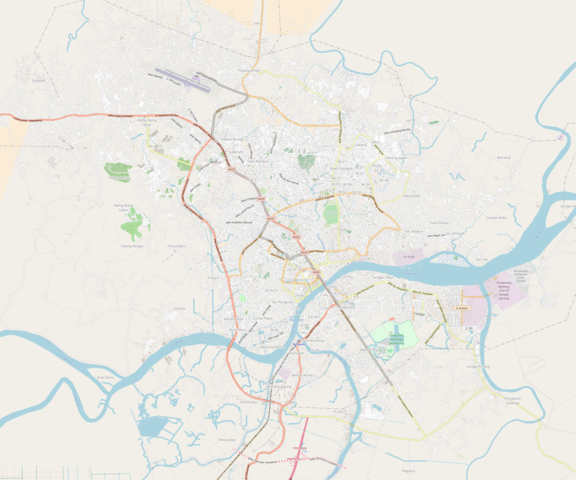
English: Palembang in OSM
Boundaries: N: -2.8604 S: -3.0809 W: 104.6139 E: 104.8789 |
| Date | |
| Source | OpenStreetMap |
| Author | OSM Contributors |
Licensing
| This work contains information from OpenStreetMap, which is made available under the Open Database License (ODbL).
The ODbL does not require any particular license for maps produced from ODbL data. Prior to 1 August 2020, map tiles produced by the OpenStreetMap Foundation were licensed under the CC-BY-SA-2.0 license. Maps produced by other people may be subject to other licences. |
File history
Click on a date/time to view the file as it appeared at that time.
| Date/Time | Thumbnail | Dimensions | User | Comment | |
|---|---|---|---|---|---|
| current | 14:19, 14 August 2018 | | 2,172 × 1,809 (2.36 MB) | Juxlos | User created page with UploadWizard |
File usage
The following pages on the English Wikipedia use this file (pages on other projects are not listed):
- 2018 AFF U-16 Girls' Championship
- 2018 AFF Women's Championship
- 2022 AFF U-18 Women's Championship
- 2023 AFF U-19 Women's Championship
- Ampera LRT station
- Asrama Haji LRT station
- Bumi Sriwijaya LRT station
- Bumi Sriwijaya Stadium
- Cinde LRT station
- DJKA LRT station
- Demang LRT station
- Dishub LRT station
- Football at the 2013 Islamic Solidarity Games
- Football at the 2018 Asian Games
- Football at the 2018 Asian Games – Women's tournament
- Garuda Dempo LRT station
- Jakabaring Aquatic Stadium
- Jakabaring LRT station
- Kertapati railway station
- Palembang Sport and Convention Center
- Polresta LRT station
- Punti Kayu LRT station
- RSUD LRT station
- Raden Fatah State Islamic University
- Sriwijaya State Polytechnic
- Sriwijaya University
- Sultan Mahmud Badaruddin II International Airport
- Sultan Mahmud Badaruddin II International Airport LRT station
- Sultan Mahmud Badaruddin II Museum
- University of Palembang
- Module:Location map/data/Indonesia Palembang
- Module:Location map/data/Indonesia Palembang/doc
Global file usage
The following other wikis use this file:
- Usage on fr.wikipedia.org
- Usage on id.wikipedia.org
- Usage on si.wikipedia.org
- Usage on uz.wikipedia.org
- Usage on vi.wikipedia.org
- Usage on zh.wikipedia.org