
File:Needles from Harney Peak.JPG
Size of this preview: 800 × 600 pixels. Other resolutions: 320 × 240 pixels | 640 × 480 pixels | 1,024 × 768 pixels | 1,280 × 960 pixels | 2,560 × 1,920 pixels | 3,264 × 2,448 pixels.
Original file (3,264 × 2,448 pixels, file size: 1.55 MB, MIME type: image/jpeg)
| This is a file from the Wikimedia Commons. Information from its description page there is shown below. Commons is a freely licensed media file repository. You can help. |
Summary
| Description |
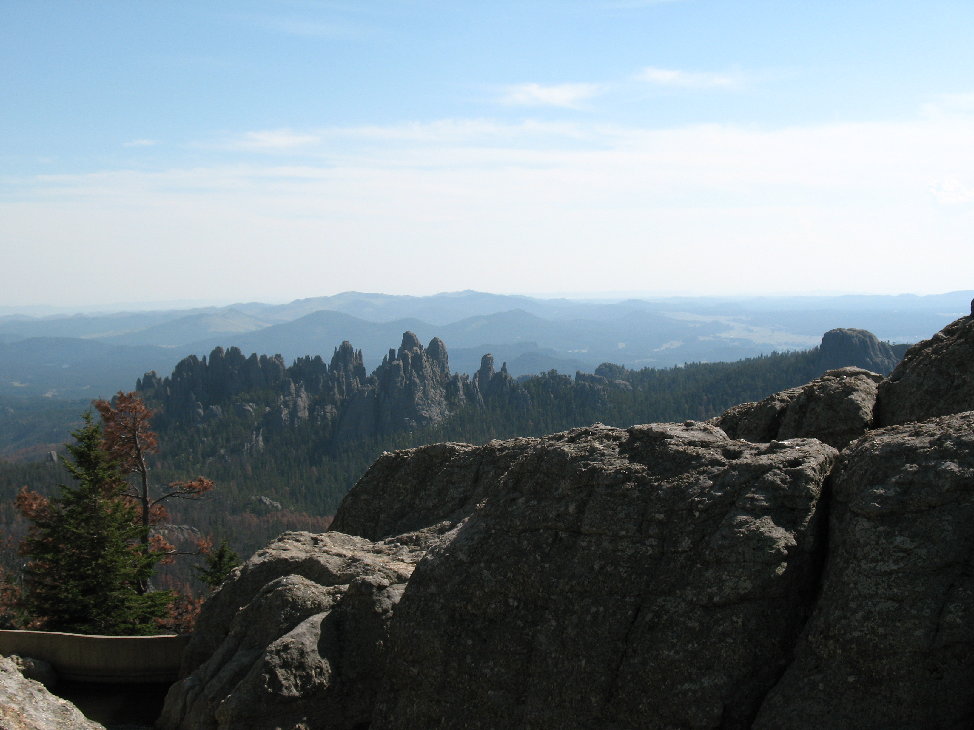
English: The Needles as seen from the top of Harney Peak. |
||||
| Date | |||||
| Source | Own work | ||||
| Author | Jake DeGroot | ||||
| Permission (Reusing this file) |
Jake DeGroot, the copyright holder of this work, hereby publishes it under the following licenses: This file is licensed under the Creative Commons Attribution-Share Alike 3.0 Unported license. Attribution: Jake DeGroot
You may select the license of your choice. |


| Camera location | | View this and other nearby images on: OpenStreetMap |
|---|
File history
Click on a date/time to view the file as it appeared at that time.
| Date/Time | Thumbnail | Dimensions | User | Comment | |
|---|---|---|---|---|---|
| current | 19:55, 17 January 2010 | | 3,264 × 2,448 (1.55 MB) | Sdgjake | {{Information |Description={{en|1=The Needles as seen from the top of Harney Peak.}} |Source={{own}} |Author=Sdgjake |Date=2009-09-06 |Permission= |other_versions= }} Category:Harney Peak Category:Black Hills National Forest [[Ca |
File usage
The following pages on the English Wikipedia use this file (pages on other projects are not listed):
Global file usage
The following other wikis use this file:
- Usage on ml.wikipedia.org
- Usage on ru.wikipedia.org
- Usage on zh.wikipedia.org