
File:Northern Caesarscreek Township by air.jpg

Size of this preview: 800 × 596 pixels. Other resolutions: 320 × 239 pixels | 640 × 477 pixels | 1,024 × 763 pixels | 1,280 × 954 pixels | 2,576 × 1,920 pixels.
Original file (2,576 × 1,920 pixels, file size: 1.78 MB, MIME type: image/jpeg)
| This is a file from the Wikimedia Commons. Information from its description page there is shown below. Commons is a freely licensed media file repository. You can help. |
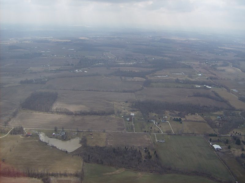
| Description | Countryside in far northern Caesarscreek Township, Greene County, Ohio, United States. Picture taken from a Diamond Eclipse light airplane at an altitude of 2,500 feet MSL and a bearing of approximately 232º. | ||
| Date | Taken on 6 March 2008 | ||
| Source | Own work | ||
| Author | Nyttend | ||
| Permission (Reusing this file) |
|
| Annotations | This image is annotated: View the annotations at Commons |
File history
Click on a date/time to view the file as it appeared at that time.
| Date/Time | Thumbnail | Dimensions | User | Comment | |
|---|---|---|---|---|---|
| current | 13:03, 24 May 2008 | | 2,576 × 1,920 (1.78 MB) | Nyttend | {{Information |Description=Countryside in far northern {{w|Caesarscreek Township, Greene County, Ohio|Caesarscreek Township}}, {{w|Greene County, Ohio|Greene County}}, {{w|Ohio}}, {{w|United States}}. Picture taken from a {{w|Diamond DA20|Diamond Eclipse |
File usage
The following pages on the English Wikipedia use this file (pages on other projects are not listed):
Global file usage
The following other wikis use this file:
- Usage on es.wikipedia.org
- Usage on eu.wikipedia.org
- Usage on fa.wikipedia.org
- Usage on pt.wikipedia.org
- Usage on vi.wikipedia.org
- Usage on www.wikidata.org
- Usage on zh.wikipedia.org