
File:Norway south location map.svg

Original file (SVG file, nominally 1,465 × 2,063 pixels, file size: 399 KB)
| This is a file from the Wikimedia Commons. Information from its description page there is shown below. Commons is a freely licensed media file repository. You can help. |
Summary
| Description |
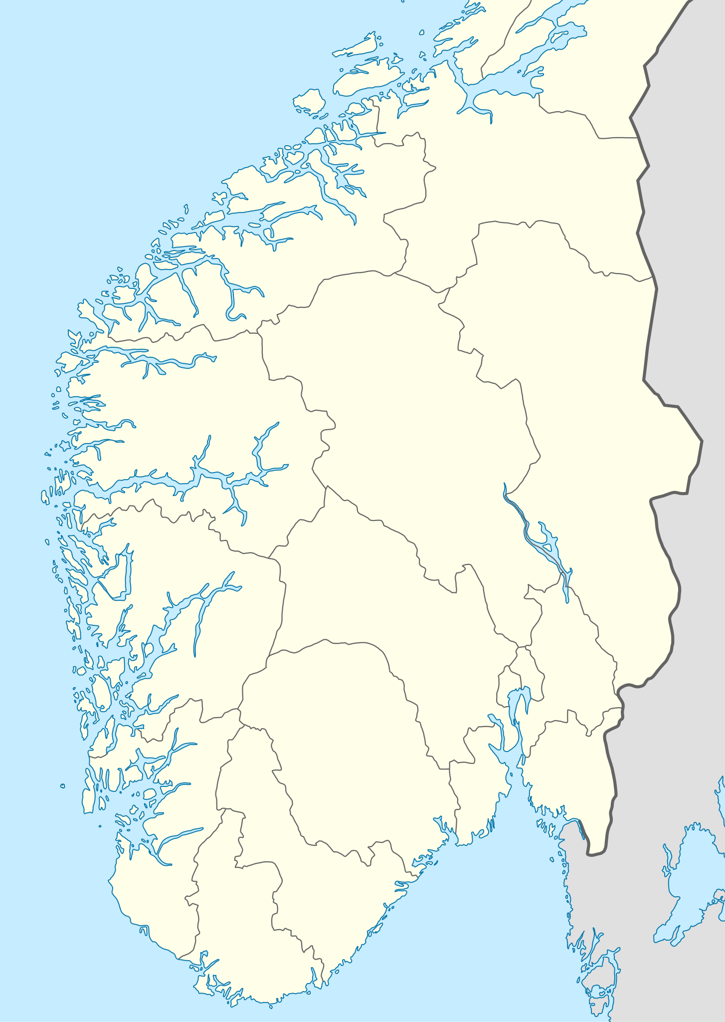
Deutsch: Positionskarte von Süd-Norwegen
Quadratische Plattkarte, N-S-Streckung 210 %. Geographische Begrenzung der Karte:
English: Location map of southern Norway
Equirectangular projection, N/S stretching 210 %. Geographic limits of the map:
|
|
| Date | ||
| Source |
Own work, using
|
|
| Author | NordNordWest | |
| Permission (Reusing this file) |
This file is licensed under the Creative Commons Attribution-Share Alike 3.0 Germany license.
 |


|
This map has been made or improved in the German Kartenwerkstatt (Map Lab). You can propose maps to improve as well.
|
Licensing
- You are free:
- to share – to copy, distribute and transmit the work
- to remix – to adapt the work
- Under the following conditions:
- attribution – You must give appropriate credit, provide a link to the license, and indicate if changes were made. You may do so in any reasonable manner, but not in any way that suggests the licensor endorses you or your use.
- share alike – If you remix, transform, or build upon the material, you must distribute your contributions under the same or compatible license as the original.
File history
Click on a date/time to view the file as it appeared at that time.
| Date/Time | Thumbnail | Dimensions | User | Comment | |
|---|---|---|---|---|---|
| current | 21:11, 27 November 2012 | | 1,465 × 2,063 (399 KB) | NordNordWest | == {{int:filedesc}} == {{Information |Description= {{de|Positionskarte von Süd-Norwegen}} Quadratische Plattkarte, N-S-Streckung 210 %. Geographische Begrenzung der Karte: * N: 64.0° N * S: 57.9° N * W: 4.1° O * O: 13.2° O {{en|Lo... |
File usage
- 2007 Norwegian First Division
- 2008 Norwegian First Division
- 2009 Norwegian First Division
- 2009 Tippeligaen
- 2010 Norwegian First Division
- 2010 Tippeligaen
- 2011 Norwegian First Division
- 2011 Tippeligaen
- 2012 Tippeligaen
- 2015 Norwegian First Division
- 2015–16 GET-ligaen season
- 2016 Norwegian First Division
- 2016–17 GET-ligaen season
- 2017–18 Eliteserien (women's handball)
- 2017–18 GET-ligaen season
- 2018–19 Eliteserien (women's handball)
- 2018–19 GET-ligaen season
- 2021–22 Fjordkraftligaen season
- 2021–22 REMA 1000-ligaen (men's handball)
- 2022 Toppserien
- 2022–23 Fjordkraftligaen season
- 2022–23 REMA 1000-ligaen (women's handball)
- 2023 Toppserien
- 2023–24 REMA 1000-ligaen (men's handball)
- 2023–24 REMA 1000-ligaen (women's handball)
- EliteHockey Ligaen
- Gol Stave Church
- LSK-Hallen
- Lillestrøm SK–Vålerenga Fotball rivalry
- List of ice hockey teams in Norway
- Ramstad
- Sarp Falls
- Skui, Norway
- Stave church
- Uvdal Stave Church
- Vollen, Asker
- User:Barend/sandbox
- Template:Eliteserien (ice hockey) labelled map
- Module:Location map/data/Norway South
- Module:Location map/data/Norway South/doc
Global file usage
The following other wikis use this file:
- Usage on ar.wikipedia.org
- Usage on de.wikipedia.org
- Fußball-Europameisterschaft der Frauen 1987
- Handball-Europameisterschaft der Männer 2008
- Wikipedia:Kartenwerkstatt/Positionskarten/Europa
- Tippeligaen 2007
- Tippeligaen 2001
- Tippeligaen 2008
- 1. Divisjon 1963
- 1. Divisjon 1990
- 1. Divisjon 1964
- 1. Divisjon 1965
- 1. Divisjon 1989
- 1. Divisjon 1966
- 1. Divisjon 1967
- 1. Divisjon 1968
- 1. Divisjon 1988
- 1. Divisjon 1969
- 1. Divisjon 1970
- 1. Divisjon 1971
- 1. Divisjon 1972
- 1. Divisjon 1973
- 1. Divisjon 1974
- 1. Divisjon 1975
- 1. Divisjon 1976
- 1. Divisjon 1977
- 1. Divisjon 1978
- 1. Divisjon 1979
- 1. Divisjon 1980
- 1. Divisjon 1981
- 1. Divisjon 1982
- 1. Divisjon 1983
- 1. Divisjon 1984
- 1. Divisjon 1985
- 1. Divisjon 1986
- 1. Divisjon 1987
- Tippeligaen 2010
- Adeccoligaen 2010
- Adeccoligaen 2009
- Adeccoligaen 2008
- Adeccoligaen 2007
- 1. divisjon 2002
- Adeccoligaen 2006
- Adeccoligaen 2005
- 1. divisjon 2003
- 1. divisjon 2004
- Tippeligaen 2011
- Adeccoligaen 2011
- Benutzer Diskussion:JEW/Archiv/2012
- Adeccoligaen 2012
View more global usage of this file.