
File:Nyiregyhaza megyehaza.jpg
Size of this preview: 800 × 600 pixels. Other resolutions: 320 × 240 pixels | 640 × 480 pixels | 1,024 × 768 pixels | 1,280 × 960 pixels | 2,048 × 1,536 pixels.
Original file (2,048 × 1,536 pixels, file size: 1.75 MB, MIME type: image/jpeg)
| This is a file from the Wikimedia Commons. Information from its description page there is shown below. Commons is a freely licensed media file repository. You can help. |
| Description |
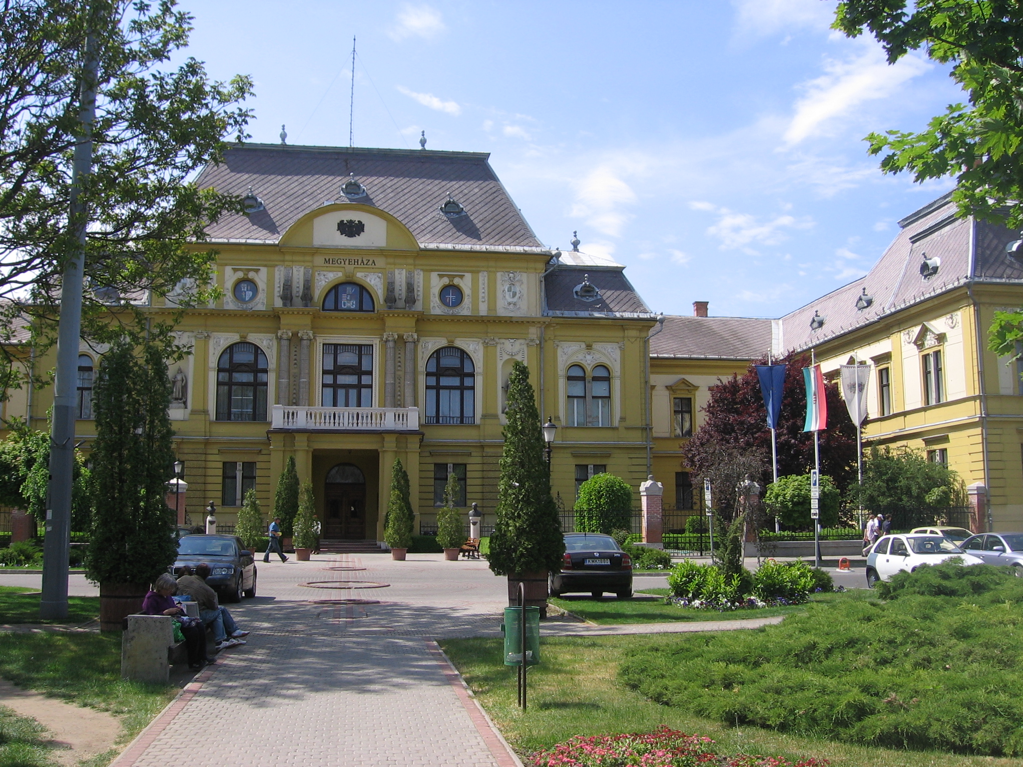
English: County government building (megyehaza) in Nyíregyháza
Siedziba władz komitatu (megyehaza) w Nyíregyháza Deutsch: Haus des Komitatssitzes in Nyíregyháza des Komitat Szabolcs-Szatmár-Bereg (Verwaltungsbezirkes) in Nordostungarn. Es grenzt an Rumänien und die Ukraine sowie an die Komitate Hajdú-Bihar und Borsod-Abaúj-Zemplén. Von hier wird eine Fläche von 5.936 km² und (2001) 586.158 Einwohnern verwaltet.
|
||
| Date | |||
| Source | Own work | ||
| Author | PM |
| Object location | | View this and other nearby images on: OpenStreetMap |
|---|
| I, the copyright holder of this work, release this work into the public domain. This applies worldwide. In some countries this may not be legally possible; if so: I grant anyone the right to use this work for any purpose, without any conditions, unless such conditions are required by law. |
File history
Click on a date/time to view the file as it appeared at that time.
| Date/Time | Thumbnail | Dimensions | User | Comment | |
|---|---|---|---|---|---|
| current | 08:17, 12 August 2007 | | 2,048 × 1,536 (1.75 MB) | PM | {{Information |Description=County government building (megyehaza) in Nyíregyháza <br>Siedziba władz komitatu (megyehaza) w Nyíregyháza |Source=self-made |Date=4 V 2007 |Author= PM }} {{PD-self}} Category:Nyíregyháza |
File usage
The following pages on the English Wikipedia use this file (pages on other projects are not listed):
Global file usage
The following other wikis use this file:
- Usage on da.wikipedia.org
- Usage on eo.wikipedia.org
- Usage on hr.wikipedia.org
- Usage on hu.wikipedia.org
- Usage on mk.wikipedia.org
- Usage on nl.wikipedia.org
- Usage on rue.wikipedia.org
- Usage on sk.wikipedia.org
- Usage on sr.wikipedia.org
- Usage on www.wikidata.org