
File:Pawtuckaway map.jpg
Size of this preview: 800 × 600 pixels. Other resolutions: 320 × 240 pixels | 640 × 480 pixels | 1,024 × 768 pixels.
Original file (1,024 × 768 pixels, file size: 427 KB, MIME type: image/jpeg)
| This is a file from the Wikimedia Commons. Information from its description page there is shown below. Commons is a freely licensed media file repository. You can help. |
Summary
| Description | |
| Date | |
| Source | NASA/WorldWind Application |
| Author | NASA. Labels added by Cody Carlson |
| This image is in the public domain because it is a screenshot from NASA’s globe software World Wind using a public domain layer, such as Blue Marble, MODIS, Landsat, SRTM, USGS or GLOBE.
|
 |
File history
Click on a date/time to view the file as it appeared at that time.
| Date/Time | Thumbnail | Dimensions | User | Comment | |
|---|---|---|---|---|---|
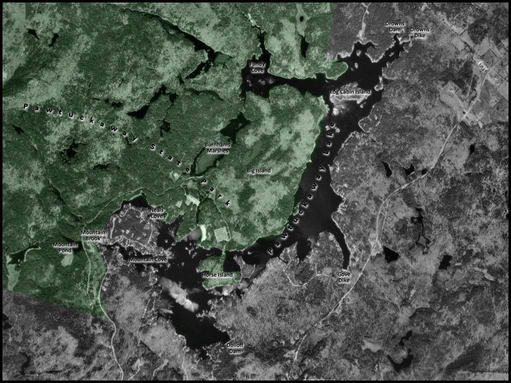
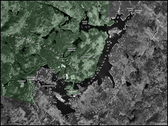
| current | 23:05, 18 June 2008 | | 1,024 × 768 (427 KB) | Codymcarlson | {{Information |Description={{en|1=This is a map of Pawtuckaway Lake, with Pawtuckaway State Park shown in green.}} |Source=NASA/WorldWind Application |Author=NASA. Labels added by [[user:Codymcarlson|codym |
File usage
The following pages on the English Wikipedia use this file (pages on other projects are not listed):
Global file usage
The following other wikis use this file:
- Usage on de.wikipedia.org
- Usage on pt.wikipedia.org