
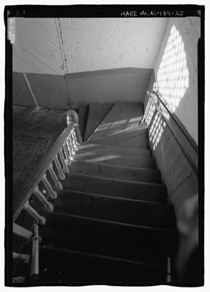
File:SECOND LEVEL STAIR DETAIL, LOOKING DOWN. - Blue Spring Cotton Mill, Route 20, Oxford, Calhoun County, AL HAER AL-189-25.tif
Size of this JPG preview of this TIF file: 430 × 599 pixels. Other resolutions: 172 × 240 pixels | 345 × 480 pixels | 551 × 768 pixels | 735 × 1,024 pixels | 1,470 × 2,048 pixels | 3,721 × 5,182 pixels.
Original file (3,721 × 5,182 pixels, file size: 18.39 MB, MIME type: image/tiff)
| This is a file from the Wikimedia Commons. Information from its description page there is shown below. Commons is a freely licensed media file repository. You can help. |
Summary
| SECOND LEVEL STAIR DETAIL, LOOKING DOWN. - Blue Spring Cotton Mill, Route 20, Oxford, Calhoun County, AL | ||||
|---|---|---|---|---|
| Photographer |
Lowe, Jet |
|||
| Title |
SECOND LEVEL STAIR DETAIL, LOOKING DOWN. - Blue Spring Cotton Mill, Route 20, Oxford, Calhoun County, AL |
|||
| Depicted place | Alabama; Calhoun County; Oxford | |||
| Date | 1998 | |||
| Medium | 5 x 7 in. | |||
| Current location |
Library of Congress Prints and Photographs Division Washington, D.C. 20540 USA http://hdl.loc.gov/loc.pnp/pp.print |
|||
| Accession number |
HAER AL-189-25 |
|||
| Credit line |
|
|||
| Notes |
|
|||
| Source | https://www.loc.gov/pictures/item/al1295.photos.193340p | |||
| Permission (Reusing this file) |
|
|||

| Object location | | View this and other nearby images on: OpenStreetMap |
|---|
File history
Click on a date/time to view the file as it appeared at that time.
| Date/Time | Thumbnail | Dimensions | User | Comment | |
|---|---|---|---|---|---|
| current | 15:44, 26 June 2014 |  | 3,721 × 5,182 (18.39 MB) | Fæ | GWToolset: Creating mediafile for Fæ. HABS batch upload restart 26 June 2014 (151:200) |
File usage
The following pages on the English Wikipedia use this file (pages on other projects are not listed):