
File:Sakado Station gravel line stub 20110203 (2).JPG

Size of this preview: 800 × 600 pixels. Other resolutions: 320 × 240 pixels | 640 × 480 pixels | 1,024 × 768 pixels | 1,280 × 960 pixels | 2,560 × 1,920 pixels | 3,264 × 2,448 pixels.
Original file (3,264 × 2,448 pixels, file size: 3.15 MB, MIME type: image/jpeg)
| This is a file from the Wikimedia Commons. Information from its description page there is shown below. Commons is a freely licensed media file repository. You can help. |
.JPG)
Summary
| Description |
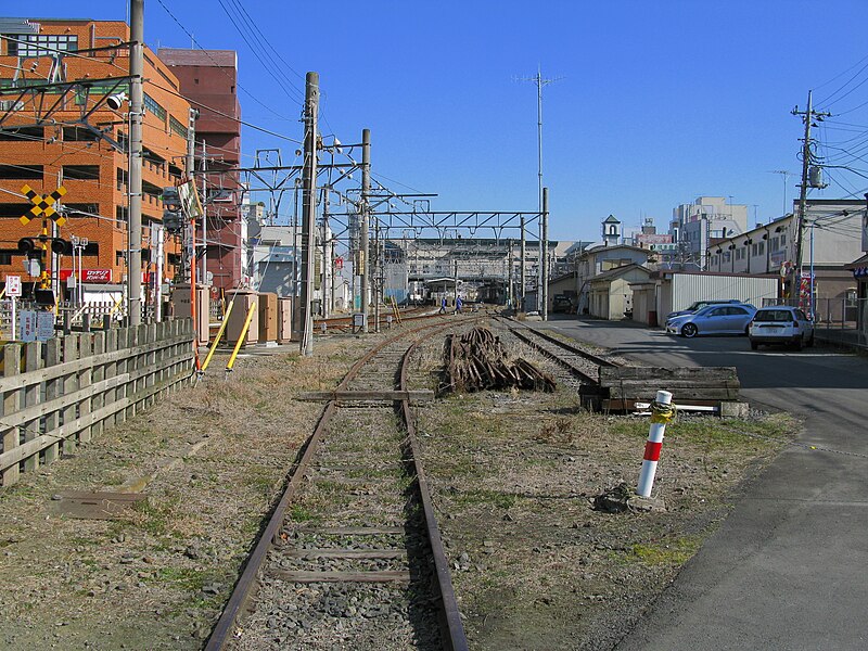
English: Stub of former gravel line west of Sakado Station in Saitama, Japan, looking east toward the station
|
| Date | |
| Source |
Own work by the original uploader (Original text: 投稿者撮影) |
| Author | ja:user:京浜にけ (Keihin-nike) |
| Other versions |
.JPG) .JPG) |
| Camera location | | View this and other nearby images on: OpenStreetMap |
|---|
.JPG¶ms=035.957050_N_0139.391289_E_globe:Earth_type:camera__&language=en)
Licensing
ja:user:京浜にけ (Keihin-nike), the copyright holder of this work, hereby publishes it under the following licenses:

|
Permission is granted to copy, distribute and/or modify this document under the terms of the GNU Free Documentation License, Version 1.2 or any later version published by the Free Software Foundation; with no Invariant Sections, no Front-Cover Texts, and no Back-Cover Texts. A copy of the license is included in the section entitled GNU Free Documentation License. |
This file is licensed under the Creative Commons Attribution-Share Alike 3.0 Unported license.
Attribution: ja:user:京浜にけ (Keihin-nike)
- You are free:
- to share – to copy, distribute and transmit the work
- to remix – to adapt the work
- Under the following conditions:
- attribution – You must give appropriate credit, provide a link to the license, and indicate if changes were made. You may do so in any reasonable manner, but not in any way that suggests the licensor endorses you or your use.
- share alike – If you remix, transform, or build upon the material, you must distribute your contributions under the same or compatible license as the original.
You may select the license of your choice.
File history
Click on a date/time to view the file as it appeared at that time.
| Date/Time | Thumbnail | Dimensions | User | Comment | |
|---|---|---|---|---|---|
| current | 08:02, 8 April 2011 | | 3,264 × 2,448 (3.15 MB) | DAJF | {{Information |Description= {{en|Stub of former gravel line west of Sakado Station in Saitama, Japan, looking east toward the station}} {{ja|坂戸駅の砂利採取線跡(埼玉県坂戸市)}} |Source= [[:ja:File:Sakado Station Ballast Picking Line R |
| 18:02, 8 February 2011 |  | 3,264 × 2,448 (3.15 MB) | 京浜にけ | {{Information |Description={{ja|1=坂戸駅の砂利採取線跡(埼玉県坂戸市)}} |Source=投稿者の撮影 |Date=2011年2月3日 |Author=京浜にけ |Permission=下記を参照 |other_versions=[[ファ� |
File usage
The following pages on the English Wikipedia use this file (pages on other projects are not listed):
Global file usage
The following other wikis use this file:
- Usage on ja.wikipedia.org
.JPG)