
File:St Andy Manitou.JPG

Size of this preview: 800 × 600 pixels. Other resolutions: 320 × 240 pixels | 640 × 480 pixels | 1,024 × 768 pixels | 1,280 × 960 pixels | 2,560 × 1,920 pixels | 3,428 × 2,571 pixels.
Original file (3,428 × 2,571 pixels, file size: 3.21 MB, MIME type: image/jpeg)
| This is a file from the Wikimedia Commons. Information from its description page there is shown below. Commons is a freely licensed media file repository. You can help. |
Summary
| Description |
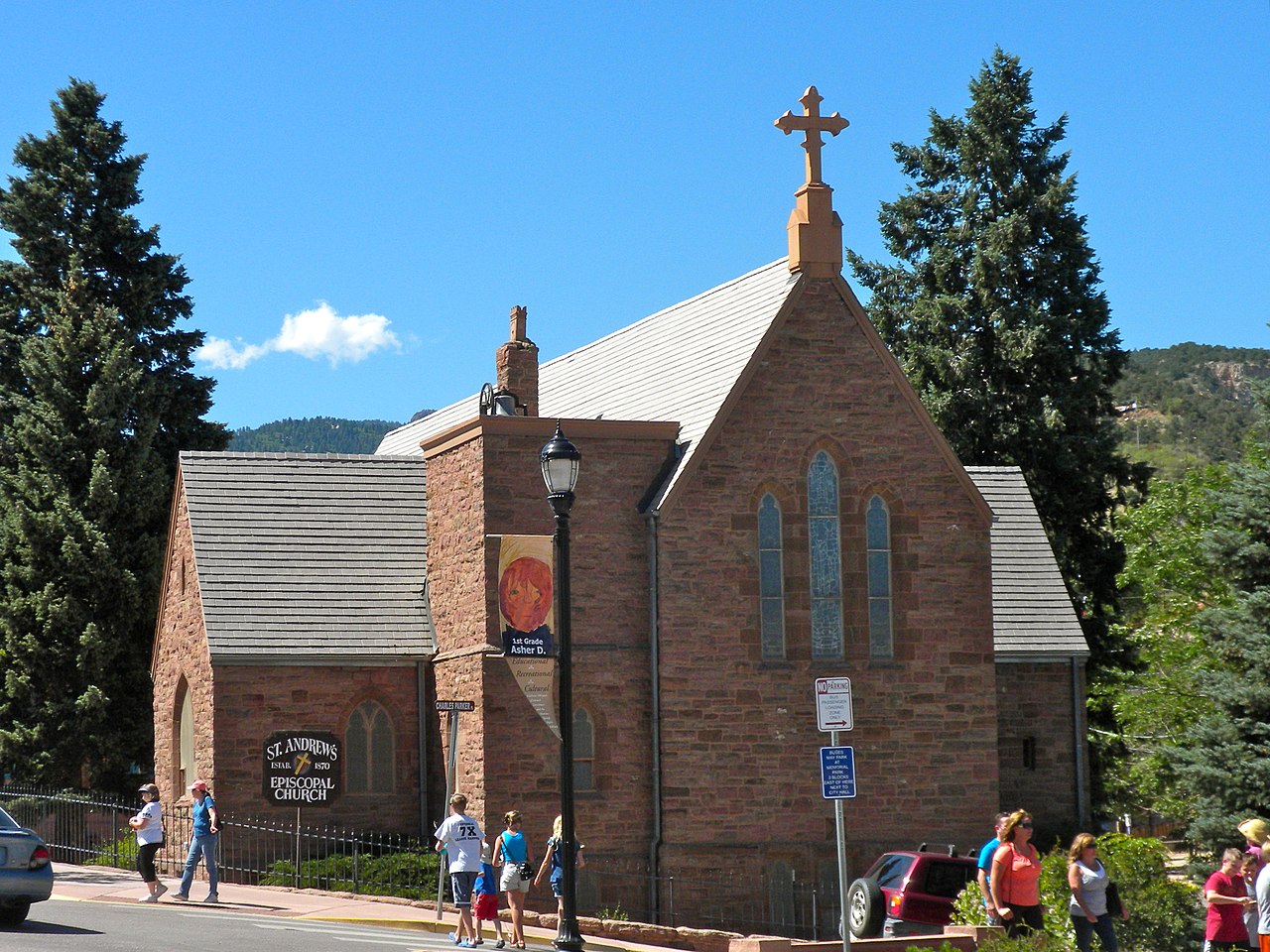
St. Andrew Episcopal Church, in the Manitou Springs Historic District, which has been on the NRHP since October 7, 1983. The HD is roughly bounded by El Paso Boulevard, Ruxton Ave., U.S. Route 24, and Iron Mt. Ave. Manitou Springs, Colorado
|
||
| Date | |||
| Source | Own work | ||
| Author | Smallbones |
| Camera location | | View this and other nearby images on: OpenStreetMap |
|---|
Licensing
| I, the copyright holder of this work, release this work into the public domain. This applies worldwide. In some countries this may not be legally possible; if so: I grant anyone the right to use this work for any purpose, without any conditions, unless such conditions are required by law. |
File history
Click on a date/time to view the file as it appeared at that time.
| Date/Time | Thumbnail | Dimensions | User | Comment | |
|---|---|---|---|---|---|
| current | 21:25, 26 July 2010 | | 3,428 × 2,571 (3.21 MB) | Smallbones | {{Information |Description=St. Andrew Episcopal Church, in the Manitou Springs Historic District, which has been on the NRHP since October 7, 1983. The HD is roughly bounded by El Paso Boulevard, Ruxton Ave., U.S. Route 24, and Iron Mt. Ave. Manitou Spri |
File usage
The following pages on the English Wikipedia use this file (pages on other projects are not listed):