
File:Ukraine topo big-1.png

Size of this preview: 621 × 600 pixels. Other resolutions: 249 × 240 pixels | 497 × 480 pixels | 959 × 926 pixels.
Original file (959 × 926 pixels, file size: 1.87 MB, MIME type: image/png)
| This is a file from the Wikimedia Commons. Information from its description page there is shown below. Commons is a freely licensed media file repository. You can help. |
Summary
| Description |
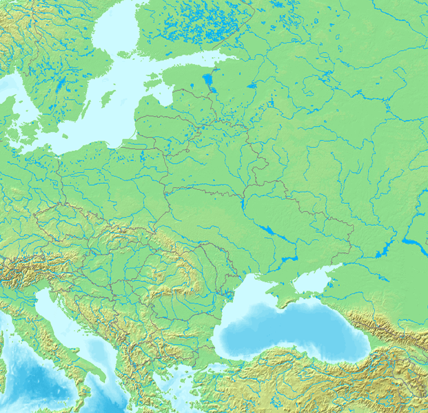
Українська: Східна Європа
English: Eastern Europe
日本語: 東ヨーロッパ |
| Date | |
| Source | http://www.demis.nl/mapserver/ |
| Author | http://www.demis.nl/mapserver/ |
Licensing

|
Permission is granted to copy, distribute and/or modify this document under the terms of the GNU Free Documentation License, Version 1.2 or any later version published by the Free Software Foundation; with no Invariant Sections, no Front-Cover Texts, and no Back-Cover Texts. A copy of the license is included in the section entitled GNU Free Documentation License. |
| This file is licensed under the Creative Commons Attribution-Share Alike 3.0 Unported license. | ||
| ||
| This licensing tag was added to this file as part of the GFDL licensing update. |
Original upload log
File was transfered from Ukrainian Wikipedia using UWCTransferBot v.1.0.1 based on Chris G's botclasses framework.
The original description page was here. All following user names refer to uk.wikipedia.
- 2012-01-21 15:12 Alex K 959×926×8 (1957050 bytes) {{Зображення |Назва=Східна Європа |Опис= |Автор=я |Джерело=http://www.demis.nl/mapserver/ |Час створення=2011 |Ліцензія={{GFDL}} }}
| This file was moved from Japanese Wikipedia.
See below for original file information. | ||||||||||||||||||||||||
| ||||||||||||||||||||||||
|
| ||||||||||||||||||||||||
File history
Click on a date/time to view the file as it appeared at that time.
| Date/Time | Thumbnail | Dimensions | User | Comment | |
|---|---|---|---|---|---|
| current | 21:00, 21 May 2013 | | 959 × 926 (1.87 MB) | UWCTransferBot | file was transfered from Ukrainian Wikipedia |
File usage
The following pages on the English Wikipedia use this file (pages on other projects are not listed):
Global file usage
The following other wikis use this file:
- Usage on el.wikipedia.org
- Usage on hsb.wikipedia.org
- Usage on hy.wikipedia.org
- Usage on ja.wikipedia.org
- Usage on lv.wikipedia.org
- Usage on ml.wikipedia.org
- Usage on pa.wikipedia.org
- Usage on sh.wikipedia.org
- Usage on uk.wikipedia.org