
Nebo, Queensland
| Nebo Queensland | |||||||||||||||
|---|---|---|---|---|---|---|---|---|---|---|---|---|---|---|---|
.jpg) Nebo Hotel, 2009 | |||||||||||||||
 Nebo | |||||||||||||||
| Coordinates | 21°41′23″S 148°41′29″E / 21.6897°S 148.6913°E | ||||||||||||||
| Population | 753 (2016 census)[1] | ||||||||||||||
| • Density | 0.8586/km2 (2.2238/sq mi) | ||||||||||||||
| Postcode(s) | 4742 | ||||||||||||||
| Area | 877.0 km2 (338.6 sq mi) | ||||||||||||||
| Time zone | AEST (UTC+10:00) | ||||||||||||||
| Location | |||||||||||||||
| LGA(s) | Isaac Region | ||||||||||||||
| State electorate(s) | Burdekin | ||||||||||||||
| Federal division(s) | Capricornia | ||||||||||||||
| |||||||||||||||
Nebo is a rural town and locality in the Isaac Region, Queensland, Australia.[2][3] In the 2016 census the locality of Nebo had a population of 753 people.[1]
Geography[edit]
The town of Nebo is situated on the western edge of the locality on Nebo Creek. The Peak Downs Highway enters the locality from the south-west (Strathfield), passes through the town, and exits to the north (Epsom). The Suttor Developmental Road commences at the Peak Downs Highway in the north-west of the locality and exits the locality to the west (Hail Creek).[4] The Marlborough–Sarina Road runs along the eastern boundary.[5]
History[edit]
Baradha (also known as Barada, Toolginburra, Baradaybahrad, Thararraburra, Toolginburra, Baradha) is an Australian Aboriginal language spoken by the Baradha people. The Baradha language region includes the locality of Lotus Creek and extends along the inland ranges towards Nebo and extends along the Connors River catchment.[6]
Biri (also known as Birri) is a language of Central and North Queensland. Biri refers to a language chain extending from Central Queensland towards Townsville and is often used as a universal name for other languages and/or dialects across the region. The language area includes the towns of Bowen, Ayr, Collinsville and Nebo.[6]
William Landsborough explored the district in 1857.[7] He named the district after the Babylonian god Nabu (Hebrew: Nebo).[2] Although the name Nebo was widely used for the town, the official name was Fort Cooper until it was eventually changed to Nebo in 1923.[2]
Pastoralists settled in the Nebo region as early as the 1860s.
Fort Cooper was used as a Native Police barracks from 1862 until 1878.[8] Officers such as Robert Arthur Johnstone were deployed to this post and their efficiency in "arresting the depredations" of the Aboriginal people were appreciated by the local residents and squatters.[9]
The Nebo Post Office opened on 1 January 1864.[10]

The Nebo Court of Petty Sessions opened on 29 January 1866. The Nebo Small Debts Court opened on 31 December 1867. Following the Magistrates Courts Act 1921, the Small Debts Court became the Nebo Magistrates Court on 3 April 1922. On 31 December 1964, the Court of Petty Sessions was absorbed into the Magistrates Court. The Magistrates Court closed on 20 December 1990.[11][12][13]
The Nebo Police Station opened in February 1867.[14] In December 1886 new police quarters were built.[15]
Nebo Provisional School opened on 29 June 1874. It became Nebo State School in 1909.[16][17]
In 1957 a memorial stone was erected in the Nebo Shire to honour William Landsborough.[18][19]
The Nebo Library facility opened in 1969.[20]
At the 2006 census, Nebo had a population of 850.[21]
Nebo was the administrative centre for the Shire of Nebo until 2008 when the Shire was amalgamated with the Shire of Belyando and the Shire of Broadsound to form the Isaac Region. The Isaac Region is administered from Moranbah, but has council offices in Nebo.
The William Landsborough Diaries (1856-1886)[22] were ranked #39 in the ‘Top 150: Documenting Queensland’ exhibition when it toured to venues around Queensland from February 2009 to April 2010.[23] The exhibition was part of Queensland State Archives’ events and exhibition program which contributed to the state’s Q150 celebrations, marking the 150th anniversary of the separation of Queensland from New South Wales.[24]
In the 2011 census, Nebo had a population of 840 people.[25]
In the 2016 census the locality of Nebo had a population of 753 people.[1]
Heritage listings[edit]
Nebo has a number of heritage-listed sites, including:
- 2 Reynolds Street: Nebo Hotel[26]
Economy[edit]
The local economy has traditionally relied on coal-mining as it plays a significant role in the local economy, with eleven coal mines located in the Nebo district.
Education[edit]
Nebo State School is a government primary (Prep-6) school for boys and girls at 34 Oxford Street (21°41′23″S 148°41′23″E / 21.6897°S 148.6898°E).[27][28] In 2014, the school had an enrolment of 63 children with 4 teachers.[29] In 2018, the school had an enrolment of 61 students with 5 teachers (4 full-time equivalent) and 8 non-teaching staff (5 full-time equivalent).[30]
There is no secondary school in Nebo. The nearest secondary schools are Sarina State High School (7–12) in Sarina to the north-east and Glenden State School (Prep–12) in Glenden to the north-west.[31] Given the distances involved, distance education and boarding school would be other options.
Amenities[edit]
The Isaac Regional Council operates a public library at 10 Reynolds Street.[32]
The Nebo Sarina Range branch of the Queensland Country Women's Association meets at 1994 Marlborough Sarina Road, Sarina Range.[33]
References[edit]
- ^ a b c Australian Bureau of Statistics (27 June 2017). "Nebo (SSC)". 2016 Census QuickStats. Retrieved 20 October 2018.
- ^ a b c "Nebo – town in Isaac Region (entry 23978)". Queensland Place Names. Queensland Government. Retrieved 27 December 2020.
- ^ "Nebo – locality in Isaac Region (entry 47031)". Queensland Place Names. Queensland Government. Retrieved 27 December 2020.
- ^ Google (13 August 2019). "Nebo, Queensland" (Map). Google Maps. Google. Retrieved 13 August 2019.
- ^ Google (17 December 2023). "Nebo, Queensland" (Map). Google Maps. Google. Retrieved 17 December 2023.
- ^ a b "Indigenous languages map of Queensland". State Library of Queensland. 2020. Retrieved 21 January 2020.
- ^ "ORIGIN OF NEBO". Daily Mercury. Vol. 80, no. 311. Queensland, Australia. 31 December 1946. p. 2. Retrieved 3 March 2017 – via National Library of Australia.
- ^ "untitled". Mackay Mercury And South Kennedy Advertiser. No. 518. Queensland, Australia. 18 March 1876. p. 2. Retrieved 1 August 2017 – via National Library of Australia.
- ^ "To the squatters". Mackay Mercury And South Kennedy Advertiser. No. 228. Queensland, Australia. 20 August 1870. p. 1 (SUPPLEMENT TO THE "MACKAY MERCURY."). Archived from the original on 4 March 2021. Retrieved 1 August 2017 – via National Library of Australia.
- ^ Phoenix Auctions History. "Post Office List". Phoenix Auctions. Retrieved 5 March 2021.
- ^ "Agency ID 776, Court of Petty Sessions, Nebo". Queensland State Archives. Retrieved 30 December 2015.
- ^ "Agency ID 1348, Magistrates Court, Nebo". Queensland State Archives. Retrieved 30 December 2015.
- ^ "Agency ID 1811, Small Debts Court, Nebo". Queensland State Archives. Retrieved 30 December 2015.
- ^ "Agency ID 1580, Police Station, Nebo". Queensland State Archives. Retrieved 22 October 2017.
- ^ "NEBO". The Capricornian. Vol. 12, no. 50. Queensland, Australia. 11 December 1886. p. 24. Retrieved 22 October 2017 – via National Library of Australia.
- ^ "Opening and closing dates of Queensland Schools". Queensland Government. Retrieved 29 December 2015.
- ^ "Agency ID 5577, Nebo State School". Queensland State Archives. Retrieved 30 December 2015.
- ^ Monument Australia, (issuing body.) (2010), Monument Australia, Monument Australia, archived from the original on 5 December 2020, retrieved 11 August 2020,
William Landsborough
- ^ Memorial stone erected in the Nebo Shire to honour William Landsborough, 2005, archived from the original on 5 December 2020, retrieved 11 August 2020
- ^ "Queensland Public Libraries Statistical Bulletin 2016-2017" (PDF). Public Libraries Connect. State Library of Queensland. November 2017. p. 13. Archived (PDF) from the original on 30 January 2018. Retrieved 26 January 2018.
- ^ Australian Bureau of Statistics (25 October 2007). "Nebo (L) (Urban Centre/Locality)". 2006 Census QuickStats. Retrieved 3 May 2009.
- ^ Landsborough, William (1856), "William Landsborough Papers, 1856-1908", State Library of Queensland, archived from the original on 5 December 2020, retrieved 11 August 2020
- ^ corporateName=Queensland State Archives (6 April 2015). "Number 39 - William Landsborough Diaries (1856-1886)". Number 39 - William Landsborough Diaries (1856-1886). Archived from the original on 5 December 2020. Retrieved 11 August 2020 – via National Library of Australia.
- ^ Queensland State Archives (2014), Annual report, Queensland State Archives, pp. 6, 9, ISSN 1448-8426, archived from the original on 26 August 2020, retrieved 4 August 2020
- ^ Australian Bureau of Statistics (31 October 2012). "Nebo". 2011 Census QuickStats. Retrieved 29 December 2015.
- ^ "Nebo Hotel (entry 601154)". Queensland Heritage Register. Queensland Heritage Council. Retrieved 10 July 2013.
- ^ "State and non-state school details". Queensland Government. 9 July 2018. Archived from the original on 21 November 2018. Retrieved 21 November 2018.
- ^ "Nebo State School". Retrieved 5 March 2021.
- ^ "2014 School Annual Report" (PDF). Nebo State School. Archived (PDF) from the original on 4 March 2016. Retrieved 30 December 2015.
- ^ "ACARA School Profile 2018". Australian Curriculum, Assessment and Reporting Authority. Archived from the original on 27 August 2020. Retrieved 28 January 2020.
- ^ "Queensland Globe". State of Queensland. Retrieved 4 March 2021.
- ^ "Nebo Library". Public Libraries Connect. State Library of Queensland. 21 June 2017. Archived from the original on 26 January 2018. Retrieved 26 January 2018.
- ^ "Branch Locations". Queensland Country Women's Association. Archived from the original on 26 December 2018. Retrieved 26 December 2018.
External links[edit]
- "Nebo Shire". Queensland Places. Centre for the Government of Queensland, University of Queensland.
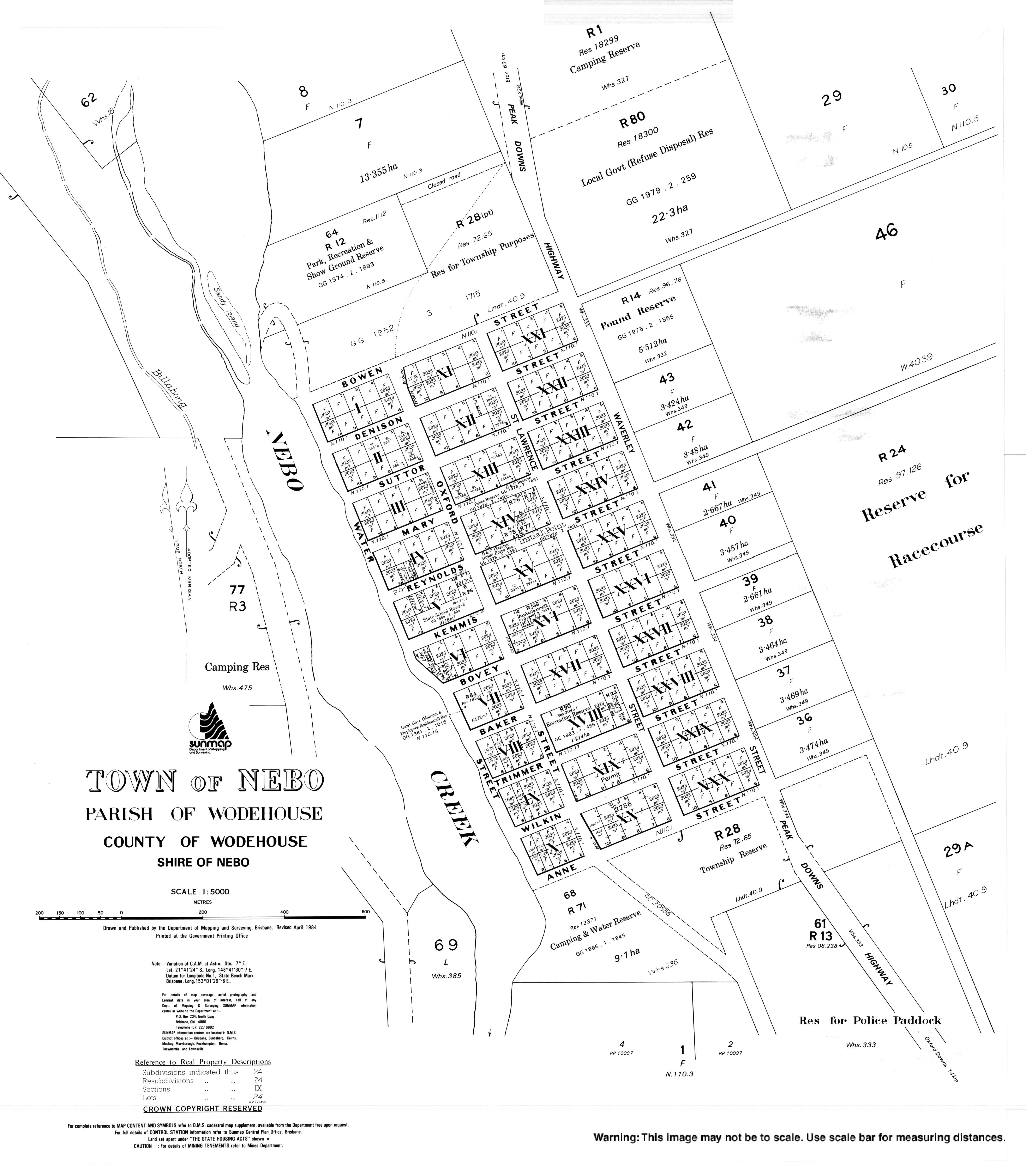
- "Town map of Nebo". Queensland Government. 1984.