Portal:Maps/Selected picture/4
(Redirected from Portal:Atlas/Selected picture/4)

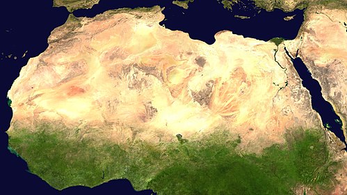
A satellite image of the Sahara, the world's largest hot desert and second largest desert after Antarctica at over 9,000,000 km² (3,500,000 mi²), almost as large as the United States. The Sahara is located in Northern Africa and is 2.5 million years old.
