
Talk:Gamla
| This is the talk page for discussing improvements to the Gamla article. This is not a forum for general discussion of the article's subject. |
Article policies
|
| Find sources: Google (books · news · scholar · free images · WP refs) · FENS · JSTOR · TWL |
| Warning: active arbitration remedies The contentious topics procedure applies to this article. This article is related to the Arab–Israeli conflict, which is a contentious topic. Furthermore, the following rules apply when editing this article:
Editors who repeatedly or seriously fail to adhere to the purpose of Wikipedia, any expected standards of behaviour, or any normal editorial process may be blocked or restricted by an administrator. Editors are advised to familiarise themselves with the contentious topics procedures before editing this page.
|
| Please stay calm and civil while commenting or presenting evidence, and do not make personal attacks. Be patient when approaching solutions to any issues. If consensus is not reached, other solutions exist to draw attention and ensure that more editors mediate or comment on the dispute. |
| Discussions on this page often lead to previous arguments being restated. Please read recent comments and look in the archives before commenting. |
| This article is rated C-class on Wikipedia's content assessment scale. It is of interest to the following WikiProjects: |
||||||||||||||||||||||||||||||||||
| ||||||||||||||||||||||||||||||||||


.svg)

Article is inaccurate[edit]
While it is generally true under Jewish law suicide is forbidden, the mass suicides of Jewish rebels which took place at Jotapata, Masada, and Gamla are not regarded as violations of Jewish law, due to the dire circumstances and the alternatives. Furthermore, there is no evidence that Josephus' account of the fall of Gamla is inaccurate, therefore this article's theorizing on alternatives constitues nothing more than idle speculation unsupported by facts. Jacob Davidson —Preceding unsigned comment added by 141.156.147.157 (talk) 04:47, 9 December 2008 (UTC)
- Many ancient and medieval sources (including some that are otherwise generally reliable) were very hazy on large numbers, often appearing to round upwards in a very crude and approximate fashion to arrive at even multiples of a thousand which have a very spurious appearance of exactness as they appear in the written text. Caution or skepticism about large round numbers pretty much goes with the territory, and is not the same thing as impugning Josephus' basic veracity as a historian.
- By the way, the article should mention that a number of metal darts or arrowheads were found on the site, distributed in a way which confirms aspects of Josephus' account. AnonMoos (talk) 11:17, 9 December 2008 (UTC)
Not in israel[edit]
[1] --Supreme Deliciousness (talk) 11:02, 30 April 2010 (UTC)
Infobox[edit]
The infobox is focused on the "Siege of Gamla" instead of the place Gamla. --Supreme Deliciousness (talk) 12:44, 10 July 2010 (UTC)
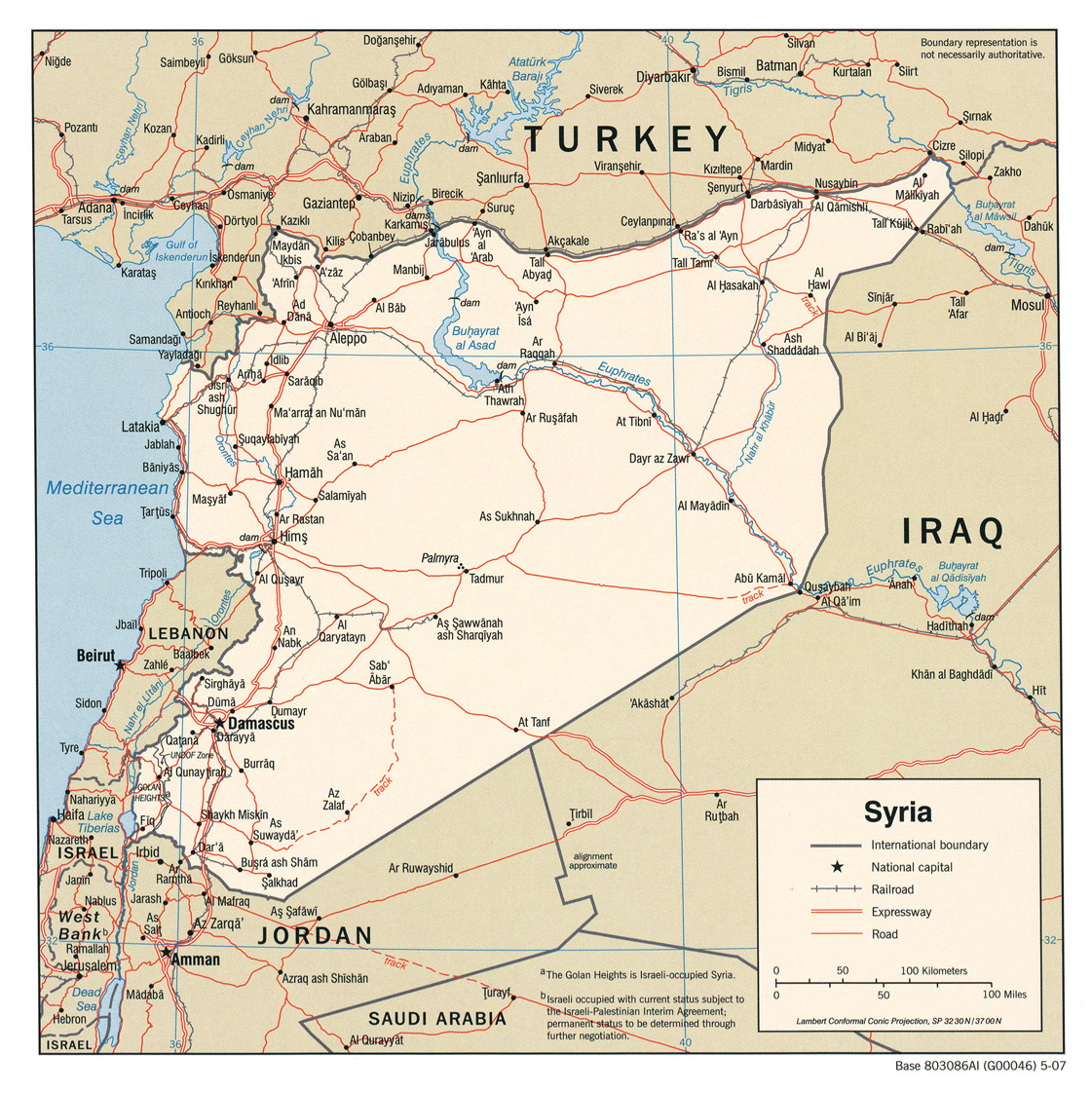
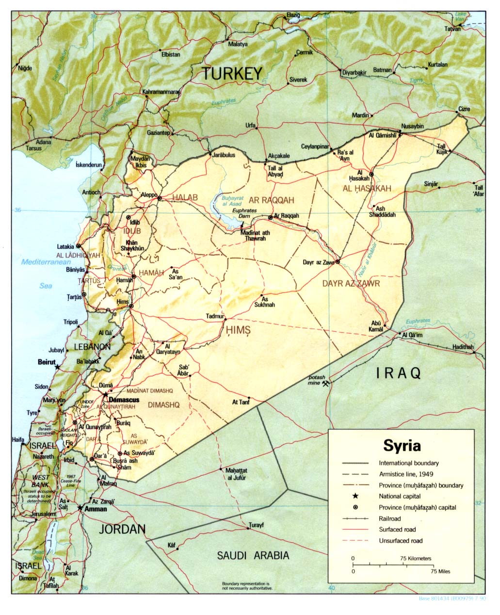
Its not neutral to use an Israeli map in the infobox when its internationally recognized as in Syria. --Supreme Deliciousness (talk) 20:44, 28 September 2010 (UTC)
- The Israel map is better as it shows the area larger. On Syrian, the whole icon covers the GH. It is neutral, as the area is shaded. It also cannot be visited from Syria. Chesdovi (talk) 21:51, 28 September 2010 (UTC)
- This is place in Syria. Not in Israel. Why would we therefor use any other map besides of Syria? What does it matter if it shows the area larger? That would be like using a map from Lebanon in an article about a Syrian city close to the Lebanese border because it would show the area larger then a map of Syria. --Supreme Deliciousness (talk) 22:30, 28 September 2010 (UTC)
- It matters because it gives a more accurate detail. Would we use a world map or a more localsied map? The map does not give the impression its in I as its in a shaded area. Chesdovi (talk) 23:21, 28 September 2010 (UTC)
- Why would we use a world map of an area in Syria instead of a map of Syria? So if there is an article about a Syrian city close to the Lebanese border, would it be appropriate to have a map of Lebanon just to have a larger map? --Supreme Deliciousness (talk) 23:31, 28 September 2010 (UTC)
- No, but as the GH area is shaded in both, it shouldn't make a difference. Chesdovi (talk) 00:13, 29 September 2010 (UTC)
- Of course it makes a difference, a place in Syria using a map of another country, "shown within Israel". A map of Lebanon would show Lebanon in yellow and Syria in grey. Would it still be appropriate to use a Lebanon map for a Syrian village? --Supreme Deliciousness (talk) 09:44, 29 September 2010 (UTC)
- I've just started following Golan Heights articles. SD is no doubt right, Gamla is located in SYRIAN Arab Republic. UN said so, every nation on this globe said so, and even Israel's monarch figure Shimon Peres said so. We have all the info in the Golan Heights article, available upon click and well cited. However we can not ignore the occupation, reliable sources don't. AgadaUrbanit (talk) 09:56, 29 September 2010 (UTC)
- Actually, we can. This is an article about Gamla, not about the Golan Heights, and "reliable sources" about Gamla seldom discuss the modern status of the Golan. The Israel map clealy distinguishes between Israel proper and the Golan, and the article body says "Israeli-occupied" as well. On the Syria map Gamla is just a spot, while the Israel map at least allows us to locate it within the Golan Heights. Furthermore, the site is currently administered by Israel and only accessible from Israel. Must we sacrifice clarity for the sake of political correctness? It's just an archaeological site, no one going to make up his mind about the Golan Heights just because of what map you use. Poliocretes (talk) 10:22, 29 September 2010 (UTC)
- On the Syria map it shows it within southern Golan heights. But it doesn't really matter if it shows it more detailed with s map of another country, a map of another country is exactly that - another country, so its clearly inappropriate, see my analogy with Lebanon above. With a Syria map we wouldn't "be sacrificing clarity for the sake of political correctness". This is not "political correctness", in reality its in Syria, not Israel. Syria map would be highlighting clarity, and now with the Israeli map we are sacrificing clarity by showing an area in Syria as "within Israel". --Supreme Deliciousness (talk) 11:01, 29 September 2010 (UTC)
- I hope we don't say Gamla is in Israel, current map also does not say so. AgadaUrbanit (talk) 11:09, 29 September 2010 (UTC)
- No one is suggesting Gamla is "in Israel", but the Syria map serves nothing save to make a political point, a point which people looking for events and finds at Gamla probably care very little about. But hey, congradulations, political points scored, good luck getting to Gamla from Damascus. Poliocretes (talk) 11:28, 29 September 2010 (UTC)
- I hope we don't say Gamla is in Israel, current map also does not say so. AgadaUrbanit (talk) 11:09, 29 September 2010 (UTC)
- On the Syria map it shows it within southern Golan heights. But it doesn't really matter if it shows it more detailed with s map of another country, a map of another country is exactly that - another country, so its clearly inappropriate, see my analogy with Lebanon above. With a Syria map we wouldn't "be sacrificing clarity for the sake of political correctness". This is not "political correctness", in reality its in Syria, not Israel. Syria map would be highlighting clarity, and now with the Israeli map we are sacrificing clarity by showing an area in Syria as "within Israel". --Supreme Deliciousness (talk) 11:01, 29 September 2010 (UTC)
- Actually, we can. This is an article about Gamla, not about the Golan Heights, and "reliable sources" about Gamla seldom discuss the modern status of the Golan. The Israel map clealy distinguishes between Israel proper and the Golan, and the article body says "Israeli-occupied" as well. On the Syria map Gamla is just a spot, while the Israel map at least allows us to locate it within the Golan Heights. Furthermore, the site is currently administered by Israel and only accessible from Israel. Must we sacrifice clarity for the sake of political correctness? It's just an archaeological site, no one going to make up his mind about the Golan Heights just because of what map you use. Poliocretes (talk) 10:22, 29 September 2010 (UTC)
- I've just started following Golan Heights articles. SD is no doubt right, Gamla is located in SYRIAN Arab Republic. UN said so, every nation on this globe said so, and even Israel's monarch figure Shimon Peres said so. We have all the info in the Golan Heights article, available upon click and well cited. However we can not ignore the occupation, reliable sources don't. AgadaUrbanit (talk) 09:56, 29 September 2010 (UTC)
- Of course it makes a difference, a place in Syria using a map of another country, "shown within Israel". A map of Lebanon would show Lebanon in yellow and Syria in grey. Would it still be appropriate to use a Lebanon map for a Syrian village? --Supreme Deliciousness (talk) 09:44, 29 September 2010 (UTC)
- No, but as the GH area is shaded in both, it shouldn't make a difference. Chesdovi (talk) 00:13, 29 September 2010 (UTC)
- Why would we use a world map of an area in Syria instead of a map of Syria? So if there is an article about a Syrian city close to the Lebanese border, would it be appropriate to have a map of Lebanon just to have a larger map? --Supreme Deliciousness (talk) 23:31, 28 September 2010 (UTC)
- It matters because it gives a more accurate detail. Would we use a world map or a more localsied map? The map does not give the impression its in I as its in a shaded area. Chesdovi (talk) 23:21, 28 September 2010 (UTC)
- This is place in Syria. Not in Israel. Why would we therefor use any other map besides of Syria? What does it matter if it shows the area larger? That would be like using a map from Lebanon in an article about a Syrian city close to the Lebanese border because it would show the area larger then a map of Syria. --Supreme Deliciousness (talk) 22:30, 28 September 2010 (UTC)
Of course it's in Gaulanitis, close to Batanaea... ![]() -- AnonMoos (talk) 02:35, 29 September 2010 (UTC)
-- AnonMoos (talk) 02:35, 29 September 2010 (UTC)
- There is no problem with using this map. But there may be a question about what is automatically stated under the map: "shown within Israel". In one respect it is "within Israel" as Israel controls the spot, but it could be misleading to the uninformed. Is there any way of removing those 3 words or changing them? It would be better if we had a nice map of the GH and the surrounding areas instead. Chesdovi (talk) 11:39, 29 September 2010 (UTC)
- The map of Israel should be removed. No map is better then a map of another country. --Supreme Deliciousness (talk) 19:00, 30 September 2010 (UTC)
- No. The map shows Gamla exactly where it is: on occupied by Israel Syrian land known as Golan Heights. The map does not show that the site is in Israel: there is clear color coding for "Israel-proper" and "occupied territories". Though agree with Dovi, if tweaking of automatically produced message would be possible it would be logical to consider. AgadaUrbanit (talk) 19:25, 30 September 2010 (UTC)
- The map is Israeli-centric. Israel is highlighted when it should be Syria that is highlighted. --Supreme Deliciousness (talk) 19:38, 30 September 2010 (UTC)
- We see a disagreement here, I guess there is no consensus for Syria-centric map, though no one disputed the facts: Gamla is on SYRIAN Arab Republic territory, known as Golan Heights, occupied since 1967 by Israel. I personally go to bed, maybe other editors would like to comment. AgadaUrbanit (talk) 19:56, 30 September 2010 (UTC)
- The map is Israeli-centric. Israel is highlighted when it should be Syria that is highlighted. --Supreme Deliciousness (talk) 19:38, 30 September 2010 (UTC)
- No. The map shows Gamla exactly where it is: on occupied by Israel Syrian land known as Golan Heights. The map does not show that the site is in Israel: there is clear color coding for "Israel-proper" and "occupied territories". Though agree with Dovi, if tweaking of automatically produced message would be possible it would be logical to consider. AgadaUrbanit (talk) 19:25, 30 September 2010 (UTC)
People here above have said that the Israeli map show in more detail where Gamla is, while in the Syria map the whole icon covers the GH, here is a location map of Golan: [2] does anyone object to it? --Supreme Deliciousness (talk) 18:49, 18 October 2010 (UTC)
- Looks okay to me. Great work SD. Chesdovi (talk) 19:44, 18 October 2010 (UTC)
- The Golan location map has now been changed to this one: [3], does anyone disagree with replacing the current one with it? --Supreme Deliciousness (talk) 10:08, 26 October 2010 (UTC)
- I am still on the fence, need more time to think, but that long Wiki commons discussion might be useful for other editors. AgadaUrbanit (talk) 10:26, 26 October 2010 (UTC)
- How is that useful to what we are discussing here?--Supreme Deliciousness (talk) 11:01, 26 October 2010 (UTC)
- I am still on the fence, need more time to think, but that long Wiki commons discussion might be useful for other editors. AgadaUrbanit (talk) 10:26, 26 October 2010 (UTC)
- The Golan location map has now been changed to this one: [3], does anyone disagree with replacing the current one with it? --Supreme Deliciousness (talk) 10:08, 26 October 2010 (UTC)
I have changed the map per no objection here to it. --Supreme Deliciousness (talk) 20:20, 2 November 2010 (UTC)
Hope&Act3!, you cant claim "no consensus", when I asked bout the Golan map here and no one objects to it. --Supreme Deliciousness (talk) 15:23, 10 November 2010 (UTC)
- The original SD suggested seemed okay:

A

- The version SD used however is:

B

![[2]](https://upload.wikimedia.org/wikipedia/commons/4/44/Golan_location_map.PNG)
![[3]](https://upload.wikimedia.org/wikipedia/commons/e/e6/Golan_location_map_2.PNG)
- There is a big difference between the two versions. The left side of B shows a huge part of Syria with hardly any Israel. This does not seem right. Chesdovi (talk) 17:55, 10 November 2010 (UTC)
- Why doesn't it seem right? --Supreme Deliciousness (talk) 18:10, 10 November 2010 (UTC)
- It's out of perspective by not giving enough credence to the Israeli hold and claim on the territory. The GH should also be shaded in a variant colour to distinguish it from Syria proper. Chesdovi (talk) 18:12, 10 November 2010 (UTC)
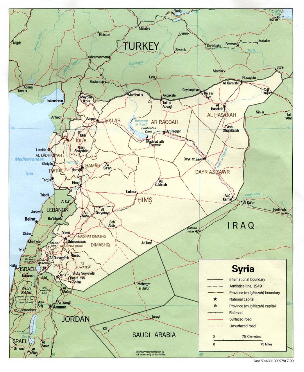
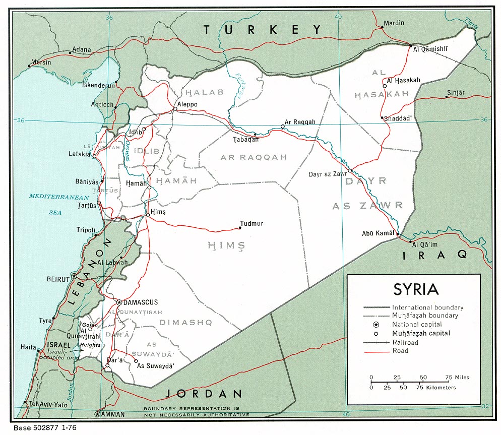
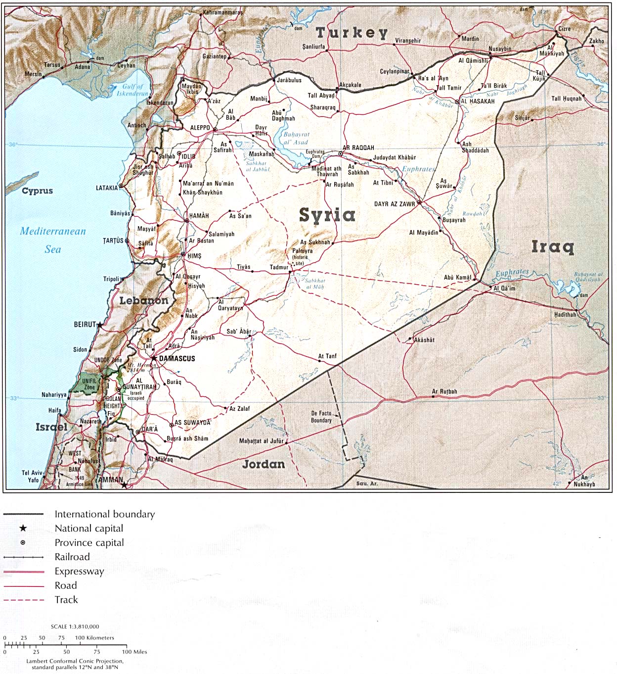
- It is following the perspective of the entire world, that its part of Syria, so how is it out of perspective? Are we gonna follow the perspective of the entire world or one country? Israels "hold" of this region in Syria is an occupation, and does not make it part of Israel. The map is following the worldview and mainstreams maps:
- http://www.lib.utexas.edu/maps/middle_east_and_asia/syria_pol_2007.jpg
- http://www.lib.utexas.edu/maps/middle_east_and_asia/syria_pol90.jpg
- http://www.lib.utexas.edu/maps/middle_east_and_asia/syria_pol_1976.jpg
- http://www.lib.utexas.edu/maps/atlas_middle_east/syria_map.jpg
- http://www.lib.utexas.edu/maps/middle_east_and_asia/syria_rel90.jpg
- http://www.lib.utexas.edu/maps/cia10/syria_sm_2010.gif
- http://www.lib.utexas.edu/maps/middle_east_and_asia/syria_wall_2004.jpg
- http://www.lib.utexas.edu/maps/middle_east_and_asia/syria_admin_2007.jpg
- http://www.lib.utexas.edu/maps/atlas_middle_east/syria_divisions.jpg
- http://www.lib.utexas.edu/maps/atlas_middle_east/syria_econ.jpg
- http://www.un.org/Depts/Cartographic/map/profile/syria.pdf
- So why would this part of Syria be in another color then any other region of Syria? --Supreme Deliciousness (talk) 18:22, 10 November 2010 (UTC)
- SD, clear color coding is required because this part is occupied by Israel since 1967 according to UN. I guess there is no consensus for your change. AgadaUrbanit (talk) 04:37, 11 November 2010 (UTC)
- Consensus is based on arguments, the occupation is shown by the ceasefire lines, people can click on the Golan heights article and read more about it, all mainstream maps show the occupied portion of Golan as the same color as the rest of Syria, so why would this map be any different? --Supreme Deliciousness (talk) 10:28, 11 November 2010 (UTC)
- Agada, your edit is unacceptable. You used a map of Israel with a caption of "Shown within Israel" for a place not in Israel. You have inserted a factually incorrect statement into an encyclopedia article. If you want to quibble over which map of the Golan to use you can, but using a map of Israel isnt an option. nableezy - 06:05, 11 November 2010 (UTC)
- SD, clear color coding is required because this part is occupied by Israel since 1967 according to UN. I guess there is no consensus for your change. AgadaUrbanit (talk) 04:37, 11 November 2010 (UTC)
- It's out of perspective by not giving enough credence to the Israeli hold and claim on the territory. The GH should also be shaded in a variant colour to distinguish it from Syria proper. Chesdovi (talk) 18:12, 10 November 2010 (UTC)
- Why doesn't it seem right? --Supreme Deliciousness (talk) 18:10, 10 November 2010 (UTC)
Chesdovi, if the left half of the second map were to be shifted west a bit, would that be acceptable? The first map is really not that good, it was a quick and sloppy map I put together a while back. nableezy - 06:07, 11 November 2010 (UTC)
- There is no reason to shift the left half of the second map west. --Supreme Deliciousness (talk) 10:28, 11 November 2010 (UTC)
- West and down would be good. The Golan should be in the center of the image, not squeezed to the far left. Chesdovi (talk) 11:18, 11 November 2010 (UTC)
- The area is in the far south left because that is where it is located in Syria. See all the maps above. Why do you want to go against these mainstream maps? Here we have a map used for Israeli settlements in Golan: [4], why is Israel in the center of the image to the left? If this image for Israeli settlements can go against the entire worldview and have an Israeli centric map to the left, then why cant all other locations in Golan have a map following the worldview? Chesdovi, why aren't you complaining that the image to the left in all Israeli settlement images have a map of Israel instead of one of Golan in the center? --Supreme Deliciousness (talk) 11:35, 11 November 2010 (UTC)
- West and down would be good. The Golan should be in the center of the image, not squeezed to the far left. Chesdovi (talk) 11:18, 11 November 2010 (UTC)
![[4]](https://en.wikipedia.org/wiki/File:Israel_outline_northeast.png)
While it is funny that an editor thinks it is not "battleing" to say a place outside of Israel is in Israel, can somebody please explain why we have a map of Israel for a place not in Israel with a caption that says "Shown within Israel" when even the map shows it outside of Israel? nableezy - 14:06, 11 November 2010 (UTC)
- I re-read the discussion twice. Who said Gamla is in Israel? There are questions about style and presentation. No territory dispute here, the site is in GH, which political status should be discussed there, in GH article. Wikimedia discussion, still appears relevant. AgadaUrbanit (talk) 15:17, 11 November 2010 (UTC)
- Firstly, those other "mainstream" maps may be showing the whole country of Syria; "Mainstream" map of Israel will also show the GH. However, we are only interested in the GH region here, and it happenes to be disputed, so we cannot have just Syria taking up the whole area of the map on the left. Secondly, the map used in the infobox here is a new GH map made for ancient sites. Previously there were only S or I maps available. The Israeli town infoboxes you mention have only ever had the Israel map to use. We can use the better GH map for them if other editors feel that inhabited locations are on par with ancient ruins. Bear in mind, that while ruins may be claimed by Syria, Israel's settlements themselevs are not. This being the case, and the fact that the people living in these locations are under Israeli jurisdiction, the Israel map may be prefered for Israeli towns on the GH. Chesdovi (talk) 13:17, 12 November 2010 (UTC)
- Any map who shows Golan as part of Israel is a minority map who follow the Israeli pov against the view of the entire world. No reliable mainstream map who follow the view of the entire world shows it as anything else but part of Syria. It is not disputed, all countries say its in Syria, if it is a dispute then Haifa is also disputed, Hamas say Haifa is in Palestine, so go and remove the Israel map from that article. The land were the Israeli settlements are located is internationally recognized as part of Syria, and that's all that matters.--Supreme Deliciousness (talk) 10:47, 15 November 2010 (UTC)
- What are going on about? Israel's settlemetns are "Iaraeli towns on the GH" in "Israeli jurisdiction" and not "claimed by Syria". Multiple noes. The Golan as a whole is internationally recognized as Syrian territory. Can yall please stop making us go through this on hundreds of pages? The Golan is not in Israel, it violates NPOV to say that it is. Currently this article says a place in Syrian territory is in Israel. That is not acceptable. nableezy - 14:24, 12 November 2010 (UTC)
- Hello Nab. The EU states that the ultimate staus of the Golan is to be resolved between the parties themselves[5] and the US and Canadian positions are even more favorable to Israel. So it's not as cut and dry as you make it seem. I'm sure you'll come down with 20 or so sources that say otherwise and then were left with the battle of the sources. Also, what you've conveniently forgot to mention is that unlike the WB, Israeli civilian law extends to the Golan and has been in effect there since 1981. All residents of the Golan are entitled to Israeli citizenship Best,--Jiujitsuguy (talk) 16:15, 12 November 2010 (UTC)
- That isnt exactly true. The Syrian government may feel that the EU does not do enough to return the Golan to Syria, but the EU does indeed recognize the territory as Syrian occupied by Israel. See for example here. Canada also says the Golan is Syrian territory occupied by Israel, see for example here. Same for the US, see for example here. nableezy - 23:25, 14 November 2010 (UTC)
- I guess we are talking about ownership vs. final resolution. We have in GH article, Shimon Peres quote, who says "GH is Syrian", added by Dovi some time ago. Good point, Nab. AgadaUrbanit (talk) 00:42, 15 November 2010 (UTC)
- That isnt exactly true. The Syrian government may feel that the EU does not do enough to return the Golan to Syria, but the EU does indeed recognize the territory as Syrian occupied by Israel. See for example here. Canada also says the Golan is Syrian territory occupied by Israel, see for example here. Same for the US, see for example here. nableezy - 23:25, 14 November 2010 (UTC)
- Hello Nab. The EU states that the ultimate staus of the Golan is to be resolved between the parties themselves[5] and the US and Canadian positions are even more favorable to Israel. So it's not as cut and dry as you make it seem. I'm sure you'll come down with 20 or so sources that say otherwise and then were left with the battle of the sources. Also, what you've conveniently forgot to mention is that unlike the WB, Israeli civilian law extends to the Golan and has been in effect there since 1981. All residents of the Golan are entitled to Israeli citizenship Best,--Jiujitsuguy (talk) 16:15, 12 November 2010 (UTC)
- Firstly, those other "mainstream" maps may be showing the whole country of Syria; "Mainstream" map of Israel will also show the GH. However, we are only interested in the GH region here, and it happenes to be disputed, so we cannot have just Syria taking up the whole area of the map on the left. Secondly, the map used in the infobox here is a new GH map made for ancient sites. Previously there were only S or I maps available. The Israeli town infoboxes you mention have only ever had the Israel map to use. We can use the better GH map for them if other editors feel that inhabited locations are on par with ancient ruins. Bear in mind, that while ruins may be claimed by Syria, Israel's settlements themselevs are not. This being the case, and the fact that the people living in these locations are under Israeli jurisdiction, the Israel map may be prefered for Israeli towns on the GH. Chesdovi (talk) 13:17, 12 November 2010 (UTC)
Yes, facts matter here too. Residents of Katzrin do not pay their electric bill to a Syrian electicity provider. I doubt the settlements themselves and their population are claimed by Syria. Rather the land on which they on. Quite different. Chesdovi (talk) 09:54, 15 November 2010 (UTC)
- The map in the infobox is to display where the settlement is located, not what company settlers are paying their electrical bills to. --Supreme Deliciousness (talk) 10:32, 15 November 2010 (UTC)
- But it isn't a Syrian settlement. Syria has no control over that location. It would be misleading to insinuate otherwise. It is effectivley not in Syria. If anything, a map of the whole region may be more acceptable. ~~
- Its an ancient remaining/ruins located in what is internationally recognized as Syria. Just because the Syrian government doesn't control it today doesn't mean its not part of Syria, the Afghan government doesn't control many regions of Afghanistan, does this mean that those areas are not Afghanistan? Can you please explain what is misleading with this map? It shows the the country it is part of and it shows the ceasefire line. Your claim that "It is effectively not in Syria" is your own personal believe against what all countries and international organs say. --Supreme Deliciousness (talk) 16:46, 15 November 2010 (UTC)
- I think we have crossed wires here. Above I made a differentiation between settlements and ruins. Chesdovi (talk) 17:24, 15 November 2010 (UTC)
- You want to know what's wrong with your map? Have you even bothered reading the article? It is about an archaeological site whose history is intrinsically linked to what you would call Palestine. It mentions Yodfat, Jerusalem, Herodium, Masada, Machaerus, Galilee, Jews, and the Hasmoneans, to name a few. The map is a part of the context. It does not claim the Golan Heights are part of Israel, the Heights are even a different color. It's just a map. This article is not about the Golan Heights or their present status, it's about a 2,000 year old archaeological site. Your map, on the other hand, is a blatant example at POV pushing, erasing Israel out of the context, replacing relevant content with a completely irrelevant political agenda. You'll replace the map, and once a week people will come back and replace it. Not because it's wrong, but because it is so entirely irrelevant to the article. Do you even care about the quality of this article? Poliocretes (talk) 17:55, 15 November 2010 (UTC)
- Location map is to show here it is located. Its location is Syria. Why is there a map of another country? How is it "POV pushing" to want to have a location map of the country it is located in? How is it "erasing Israel out of the context" by replacing the location map when its not located in Israel? If the location map was of Jordan I would want to remove it to, would I be "erasing Jordan out of the context" ? How is it "completely irrelevant political agenda" by having a map of a country it is part of instead of a map of the country it is not part of? --Supreme Deliciousness (talk) 19:19, 15 November 2010 (UTC)
- That is one of the better examples of cognitive dissonance I have seen. You claim it is "blatant ... POV pushing" to have a map of Syria for a place that is in Syria, but that it isnt to place a map of Israel and a caption saying "Shown within Israel" for a place not in Israel. The modern state of Israel is != the historic region known as Palestine. You have a map of a state that came into existence some 60 years ago and claim that it is a proper map for a "2,000 year old archaeological site" without acknowledging that this "2,000 year old archaeological site" is not located in the place the current map says it is located in. I swear, the people who claim that accuracy is "POV pushing" and we should instead cede to the views of a super-minority fringe sized group who claim everything that Israel says is absolute fact crack me up. nableezy - 18:02, 15 November 2010 (UTC)
- Go ahead, put a map of Palestine then, one without political borders, but one that is relevant to the subject and content of this article. I'll ask you the same question I asked SD, nableezy, do you even care about the quality of this article beyond scoring irrelevant political points? Poliocretes (talk) 18:19, 15 November 2010 (UTC)
- Why would anyone put a map of Palestine when its located in Syria? This map is relevant to the subject and content of this article as it shows where in the country it is part of it is located. I'm not interested in "scoring irrelevant political points", I'm interested in the factual accuracy of this article, and there is a problem right now being that there is a location map of a country it is not part of instead of a location map of the country it is part of. --Supreme Deliciousness (talk) 19:10, 15 November 2010 (UTC)
- SD the Syrians didn't even know of Gamla's existence during the years that Gamla was under Syrian military occupation. Gamla was discovered by Israeli archeologists who were knowledgable of its existence and historic Judaic connections. Moreover, not all countries within the free world knee-jerkingly recognize the Golan as Syrian territory. They refer to it simply as disputed territory, the status of which is to be determined between the parties. Blindly referring to Gamla as territory falling within Syria's jurisdiction is to ignore reality, legality and basic common sense.--Jiujitsuguy (talk) 18:41, 18 November 2010 (UTC)
- Here, here. Well said! Chesdovi (talk) 22:27, 18 November 2010 (UTC)
- The comments here above show clearly the pov that some editors are pushing for, its clearly not a neutral pov based on reality, but on their own personal opinions and its a clear violation of npov and ARBPIA. Jiujitsuguy says that a place which is internationally recognized as in Syria was "under Syrian military occupation", he also makes inaccurate comments about that "not all countries within the free world knee-jerkingly recognize the Golan as Syrian territory" without bringing any sources, its because his comments are inaccurate and not based on factual reality, see UNSCR 497 which shows that its internationally recognized as Syria. And then we have Chesdovi who is cheering him on. This shows that Jiujitsuguy and Chesdovi wants to use the Israeli map, not based on a neutral pov or reality, but on their own personal opinions. --Supreme Deliciousness (talk) 11:23, 22 November 2010 (UTC)
- Here, here. Well said! Chesdovi (talk) 22:27, 18 November 2010 (UTC)
- SD the Syrians didn't even know of Gamla's existence during the years that Gamla was under Syrian military occupation. Gamla was discovered by Israeli archeologists who were knowledgable of its existence and historic Judaic connections. Moreover, not all countries within the free world knee-jerkingly recognize the Golan as Syrian territory. They refer to it simply as disputed territory, the status of which is to be determined between the parties. Blindly referring to Gamla as territory falling within Syria's jurisdiction is to ignore reality, legality and basic common sense.--Jiujitsuguy (talk) 18:41, 18 November 2010 (UTC)
- Why would anyone put a map of Palestine when its located in Syria? This map is relevant to the subject and content of this article as it shows where in the country it is part of it is located. I'm not interested in "scoring irrelevant political points", I'm interested in the factual accuracy of this article, and there is a problem right now being that there is a location map of a country it is not part of instead of a location map of the country it is part of. --Supreme Deliciousness (talk) 19:10, 15 November 2010 (UTC)
- Go ahead, put a map of Palestine then, one without political borders, but one that is relevant to the subject and content of this article. I'll ask you the same question I asked SD, nableezy, do you even care about the quality of this article beyond scoring irrelevant political points? Poliocretes (talk) 18:19, 15 November 2010 (UTC)
- Its an ancient remaining/ruins located in what is internationally recognized as Syria. Just because the Syrian government doesn't control it today doesn't mean its not part of Syria, the Afghan government doesn't control many regions of Afghanistan, does this mean that those areas are not Afghanistan? Can you please explain what is misleading with this map? It shows the the country it is part of and it shows the ceasefire line. Your claim that "It is effectively not in Syria" is your own personal believe against what all countries and international organs say. --Supreme Deliciousness (talk) 16:46, 15 November 2010 (UTC)
- But it isn't a Syrian settlement. Syria has no control over that location. It would be misleading to insinuate otherwise. It is effectivley not in Syria. If anything, a map of the whole region may be more acceptable. ~~
I'm okay with version A. Chesdovi (talk) 11:26, 22 November 2010 (UTC)
Ownership[edit]
The lands is internationally recognized as Syria occupied by Israel, Israel certainly does not own it. --Supreme Deliciousness (talk) 10:29, 1 December 2010 (UTC)
An IP re added that the "Israel Nature and Parks Authority" is the owner of Gamla, this is not present in the source used. And the source is also an Israeli source, so even if it said that the "Israel Nature and Parks Authority" owns it, it wouldn't mean anything since it is located in occupied lands, and the proclaimed "ownership" would be an Israeli proclaimed view, and not something occurring in reality or accepted by the international community. --Supreme Deliciousness (talk) 16:10, 19 December 2010 (UTC)
Chesdovi, the source you added do not say that the Israel Nature and Parks Authority manages it, and why did you ad an Israeli flag for the Israel Nature and Parks Authority? --Supreme Deliciousness (talk) 16:37, 27 December 2010 (UTC)
- The flag is unnecessary, but the link is sufficient. The website describes the authority as the body responsible for managing nature reserves and lists Gamla as one of these. Let's not bicker about yet another triviality. Poliocretes (talk) 16:47, 27 December 2010 (UTC)
Tags[edit]
Can someone please explain why we still have tags on this article?--Jiujitsuguy (talk) 22:46, 3 February 2011 (UTC)
The infobox has a location map for Israel for a place internationally recognized as Syria. --Supreme Deliciousness (talk) 19:28, 14 April 2011 (UTC)
Map again[edit]
Brewcrewer reinserted a map that has a caption saying "shown within Israel" for a place that the map itself shows outside of Israel. He does this based on a supposed "rough consensus" to do so. Brew, please explain where this rough consensus exists, as I honestly cannot see it anywhere on this page. And if such a map is reinserted, I suppose the tags should also be, given there is very obviously a dispute about the accuracy of a caption of a map saying the place is "within Israel" when the map itself says that it is not. nableezy - 06:33, 12 June 2011 (UTC)
- Hi Nableezy. Please see the "infobox" thread above. Best, --brewcrewer (yada, yada) 23:10, 13 June 2011 (UTC)
- Ive seen that. Could you tell me how there is a consensus, rough or otherwise, in that section? The closest that any map got for a consensus in that section was using this one. I dont see any type of consensus for using a map of Israel and a caption that says this place is shown within Israel for something that the map itself shows outside of Israel. nableezy - 02:14, 14 June 2011 (UTC)
- see Template:Infobox_ancient_site, map_caption. AgadaUrbanit (talk) 06:13, 14 June 2011 (UTC)
- Any map that asserts that it is in Syria or Israel is a problem. Cptnono (talk) 07:39, 14 June 2011 (UTC)
- AU, the map is still a map of Israel for a place not in Israel. Cptnono, what do you propose be done about this "problem"? nableezy - 11:21, 14 June 2011 (UTC)
- Remove the map or redo it in a way that dos not take any sides (centered on the area, dashed lines all around, not the same shade as Syria or Israel).Cptnono (talk) 18:03, 14 June 2011 (UTC)
- Agreed. AgadaUrbanit (talk) 18:36, 14 June 2011 (UTC)
- Remove the map or redo it in a way that dos not take any sides (centered on the area, dashed lines all around, not the same shade as Syria or Israel).Cptnono (talk) 18:03, 14 June 2011 (UTC)
Fixed the map issue[edit]
Apparently the map has been a very contentious issue here. This surprised me because the Banias and Caesarea Philippi articles already have a specific map for the Golan Heights for quite a few months. So when I decided to edit this article a minute ago, I added that map to this article too and assume this will please everyone. I also added rounded coordinates which are not only easier to read but also more accurate. I changed the "periods" in the infobox because the Hasmonean dynasty was a Hellenistic kingdom anyway. I removed the "condition" and "public access" entries from the infobox because practically every archaeological site is ruined and publicly accessible (only for some exceptions like Sarkel the condition entry is useful), see the Template:Infobox ancient site and its talk page for more discussion about that. This way the infobox is slightly smaller. --AlexanderVanLoon (talk) 11:16, 4 November 2013 (UTC)
Categories[edit]
I removed the Category:History of Israel, not because of borders issue, but to comply with the note at the cat: "This category describes the history of the modern State of Israel, from its Independence Proclamation in 1948 to the present...", and have done several more edits like this in the last couple of days. I assumed you of all people would support :(. Ultimately the article can be found under the bastard child Category:History of Israel by period. BTW, what's your opinion on the latter? trespassers william (talk) 18:59, 26 April 2014 (UTC)
- Gamla is unrelated to to the history of Israel. It is an ancient site thousands of years old and Israel is a new state created 66 years ago. The cat doesn't belong here. --Supreme Deliciousness (talk) 03:11, 27 April 2014 (UTC)
Danny Syon/Dani Zion; Zvi Yavor/Zvi Yabur[edit]
There are mentions of Danny Syon and Dani Zion, in one case "Dani Zion and Zvi Yabur". https://www.academia.edu/387709/Syon_D._and_Yavor._Z._2005._Gamla_1997-2000 suggests Dani Zion should be changed to Danny Syon and Zvi Yabur to Zvi Yavor. At the same time references should be added to the various unsourced "Dani Zion writes", "Dani Zion emphasizes", etc. passages. Mcljlm (talk) 02:46, 17 October 2019 (UTC) In the infobox his surname appears as Danny Sion. That should be corrected to Danny Syon. Mcljlm (talk) 03:03, 17 October 2019 (UTC)
- Articles with conflicting quality ratings
- B-Class Israel-related articles
- Mid-importance Israel-related articles
- WikiProject Israel articles
- C-Class Judaism articles
- Mid-importance Judaism articles
- Start-Class Syria articles
- Mid-importance Syria articles
- WikiProject Syria articles
- C-Class Archaeology articles
- Unknown-importance Archaeology articles