
Transport in Egypt
| This article is part of a series on |
| Life in Egypt |
|---|
 |
| Culture |
| Society |
| Politics |
| Economy |
|
Egypt portal |
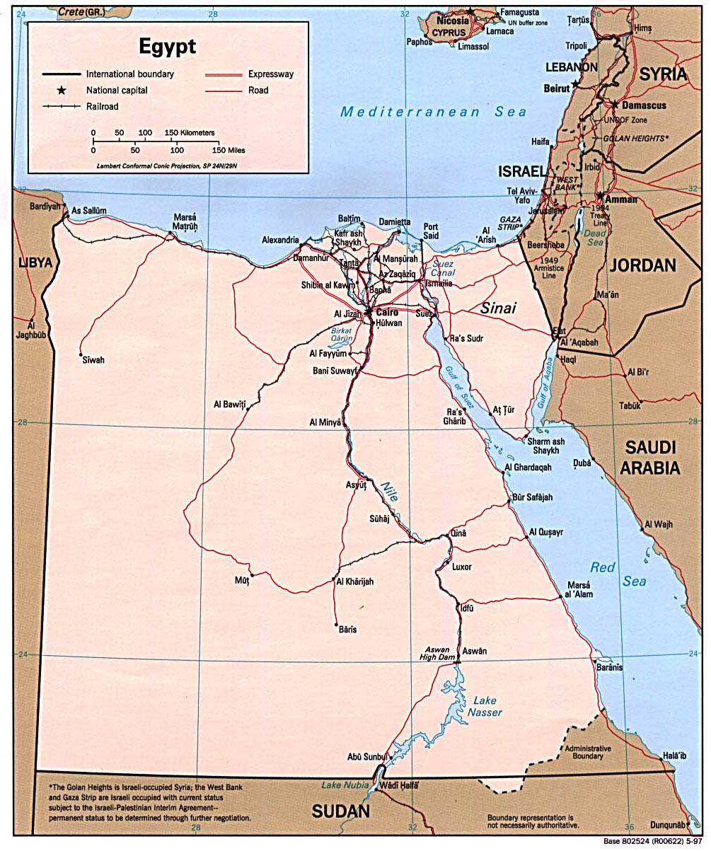
Transport in Egypt is centered in Cairo and largely follows the pattern of settlement along the Nile. The main line of the nation's rail system follows along the great river and is operated by Egyptian National Railways. The badly maintained road network has expanded rapidly to over 21,000 miles, covering the Nile Valley and Nile Delta, Mediterranean and Red Sea coasts, the Sinai and the Western oasis.
In addition to overseas routes, Egypt Air provides reliable domestic air service to major tourist destinations from its Cairo hub. The Nile River system (about 1,600 km or 1,000 mi) and the principal canals (1,600 km.) are important locally for transportation.
The Suez Canal is a major waterway of international commerce and navigation, linking the Mediterranean and Red Sea. The ministry of transportation, along with other governmental bodies are responsible for transportation in Egypt. Major ports are Alexandria, Port Said, Damietta on the Mediterranean and Suez and Safaga on the Red Sea.
Egypt has one of the highest incidence of road fatalities per miles driven in the world.[1] There are few, if any road markings.[1] Most traffic lights in Cairo appear not to function, but rather intersections are staffed by policemen who use subtle finger movements to indicate which cars may move.[1] Traffic rules are routinely ignored by impatient drivers: vehicles travel at high rates of speed or the wrong way on one-way streets.[1] Pedestrians constantly dodge in and out of traffic, and animals are commonly on the roads.[1] Rare winter rains can cause extremely slippery road surfaces or localized flooding.[1]
Intercity roads are generally in good condition, but unmarked surfaces, stray animals, and disabled vehicles without lights or reflectors are among the many hazards that can be encountered on highways, especially after dark.[1]
Some roads, especially in the Sinai and southeastern part of the country, are off-limits to foreigners.[1]
A popular form of transportation is by boat. Even though Egypt has expanded and developed its road system, people still travel on the Nile to get from place to place.
Road system
Two routes in the Trans-African Highway network originate in Cairo. Egypt also has multiple highway links with Asia through the Arab Mashreq International Road Network.
Railways

(interactive version)
1,435 mm (4 ft 8+1⁄2 in) standard gauge
The Egyptian railway system is by far the second oldest railway in the world and the oldest railway network in Africa and the Middle East. The first line between Alexandria and Kafer Eassa was opened in 1854. Today, the system is about 7,063 km long and is operated by the Egyptian National Railways. ENR carries about 800 million passengers and 12 million tonnes of freight annually. A major investment programme is planned to begin in 2007 with the aim of modernising the rail network and improving safety standards.[2] Trains are usually a safe means of transportation in Egypt.[1]
The city of Cairo is served by the Cairo Metro, which is run by the National Authority for Tunnels.
Waterways
3,500 km (including the Nile, Lake Nasser, Alexandria-Cairo Waterway, and numerous smaller canals in the delta).
Suez Canal, 193.5 km (including approaches), used by oceangoing vessels, drawing up to about 19 m of water (soon to be increased to 22m).
Pipelines
Crude oil 666 km; petroleum products 596 km; natural gas 460 km
Ports and harbors
Mediterranean Sea
- Alexandria Port - Port Authority
- Port Said Port - Port Authority
- Damietta Port - Port Authority
- Marsa Matruh
Red Sea
- Red Sea Ports Authority
- Suez Port
- Petroleum Dock Port
- Adabieh Port
- Sokhna Port
- Hurghada Port - Al Ghardaqah
- Safaga Port - Bur Safajah
- Noueibah Port
- Al-Tour Port
- Sharm El-Sheikh Port
Nile River
Merchant marine
180 ships (with a volume of 1,000 GRT GRT uses unsupported parameter (help) or over) totaling 1,348,148 GRT/2,014,483 t DWT DWT uses unsupported parameter (help)
Ships by type
- bulk carrier: 25
- cargo ship: 63
- container ship: 1
- Liquified Gas Carrier: 1
- passenger ship: 57
- petroleum tanker: 14
- roll-on/roll-off ship: 16
- short-sea passenger: 3 (1999 est.)
Airports
Cairo International Airport is used by numerous international airlines, including the country’s own Egypt Air. In 2003, about 4.2 million passengers were carried on scheduled domestic and international flights. As of 2004, Egypt had an estimated 87 airports. In 2005 a total of 72 had paved runways, and there were 2 heliports.
Airports with paved runways
total: 71
over 3,047 m: 12
2,438 to 3,047 m: 36
1,524 to 2,437 m: 16
914 to 1,523 m: 3
under 914 m: 4 (1999 est.)
Airports with unpaved runways
total: 19
2,438 to 3,047 m: 2
1,524 to 2,437 m: 2
914 to 1,523 m: 6
under 914 m: 9
Heliports
- 3 (2007 est.)
Information from Cia.gov
See also
- Egypt
- Superjet Lines
- The Holding Company for Maritime and Land Transport
- List of bus companies in Egypt
External links
References
- ^ a b c d e f g h i "Egypt". Travel.state.gov (March 19, 2008). This article incorporates text from this source, which is in the public domain.
- ^ Egyptian investment will raise safety standards. Railway Gazette International August 2007.
![]() This article incorporates public domain material from The World Factbook. CIA.
This article incorporates public domain material from The World Factbook. CIA.
Currency: Egyptian pound | |
| Communications | |
| Industries: | |