Futaysi Airport
Appearance
Futaysi Airport | |||||||||||
|---|---|---|---|---|---|---|---|---|---|---|---|
| Summary | |||||||||||
| Airport type | Private | ||||||||||
| Location | Al Futaisi, UAE | ||||||||||
| Time zone | UAE Standard Time (UTC+04:00) | ||||||||||
| Elevation AMSL | 15 ft / 5 m | ||||||||||
| Coordinates | 24°22′44″N 054°18′58″E / 24.37889°N 54.31611°E | ||||||||||
| Map | |||||||||||
 | |||||||||||
| Runways | |||||||||||
| |||||||||||
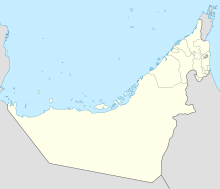
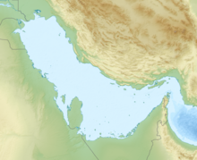
Futaysi Airport (ICAO: OMAF) is an airfield located on Al Futaisi island, United Arab Emirates.
It is a private airfield owned and operated by Hamad bin Hamdan Al Nahyan.[2]
References
[edit]- ^ United Arab Emirates AIP Archived December 30, 2013, at the Wayback Machine (login required)
- ^ "Futaysi Airport | SKYbrary Aviation Safety". skybrary.aero. Retrieved 2024-10-18.


