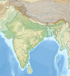
Moho Budruk
Appearance
| Moho Budrak | |
|---|---|
| Location | Nasik District, Maharashtra, India |
| Nearest city | Mumbai |
| Coordinates | 20°05′35″N 75°10′14.7″E / 20.09306°N 75.170750°E |
| Area | 6352.23 hectares |
| Established | 1895 |
Moho Budrak is a village in Nasik district, Maharashtra, India. It depends on agriculture. A small number of people live in the village. Half of them are workers.[1]
The terrain is sandy.[2]
See also
[edit]References
[edit]- ^ "Mohu | All about Mohu - Veethi". veethi.com. Retrieved 2024-03-10.
- ^ "Schools in Mohu - Nashik district of Maharashtra". study4sure.com. Retrieved 2024-03-10.
External links
[edit]

