Santiago Tilapa
Appearance
Santiago Tilapa | |
|---|---|
Town | |
| Coordinates: 19°13′9″N 99°25′7″W / 19.21917°N 99.41861°W | |
| Country | |
| State | State of Mexico |
| Municipality | Tianguistenco |
| Founded | 1570 |
| Reconocimiento como pueblo de la corona | 13 de Marzo de 1777 |
| Construcción Parroquia del Divino Salvador | 1590 |
| Area | |
| • Total | 10.83 km2 (4.18 sq mi) |
| Elevation (of seat) | 2,774 m (9,101 ft) |
| Time zone | UTC-6 (CST) |
| Website | http://www.tianguistengo.gob.mx/ |
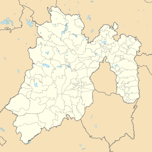
Santiago Tilapa is a town inside municipality of Tianguistenco in Mexico State in Mexico.[1] The town is bordered on the north Mirasol, south to Xalatlaco, east with Xalatlaco and west with Santiago Tianguistenco. This populated place was an indigenous settlement, there are persons with otomi language.[2]
References
- ^ Mi Pueblo
- ^ Santiago Tilapa Lastra Yolanda, Unidad y diversidad de la lengua. Relatos otomíes. Universidad Nacional Autónoma de México, 2001, p.p 83-85.

