Ba Vì National Park
Appearance
| Ba Vi National Park | |
|---|---|
 | |
| Location | North Vietnam |
| Nearest city | Sơn Tây |
| Coordinates | 21°04′41″N 105°21′30″E / 21.07806°N 105.35833°E |
| Area | 10,815 ha (26,720 acres) |
| Established | 1991 |
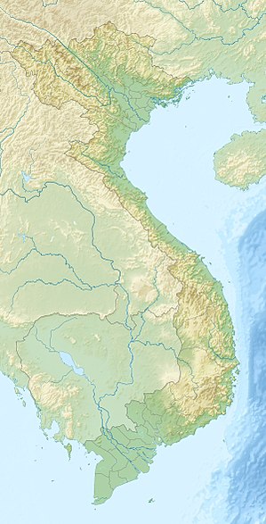
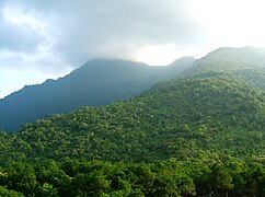
Ba Vì National Park (Template:Lang-vi) is a national park located 48 km (30 mi) west of Hanoi, Vietnam. The park is 10,815 ha (26,720 acres) in area, and is located in the Ba Vì mountain range. The park has rich and diverse tropical and subtropical species of flora and fauna.
Ba Vì National Park is located in Ba Vì District of Hanoi and two districts of Hòa Bình Province, namely Lương Sơn and Kỳ Sơn. The Park is situated on a mountain range running north-east and south-west with its peak at Vua Peak of 1,296 m and Tan Vien Peak of 1,226 m and Ngoc Hoa Peak of 1,120 m.
Wikimedia Commons has media related to Ba Vi National Park.
Gallery
-
Ba Vi National Park
-
Ba Vì National Park, Entrance to Ho Chi Minh Temple on King High Peak, Vietnam
-
Ba Vi National Park
-
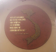
Ba Vì National Park, Inside the Ho Chi Minh Temple on King High Peak, Vietnam
-
Ba Vì National Park, Inside the Ho Chi Minh Temple on King High Peak, Vietnam
-
Ba Vì National Park, Ho Chi Minh Temple on King High Peak, Vietnam
-
Ba Vì National Park, Ho Chi Minh Temple on King High Peak, Vietnam
-
Ba Vì National Park, a few of the cloud shrouded 1,320 steps up King High Peak to the Ho Chi Minh Temple
-
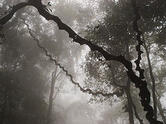
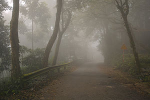
Ba Vì National Park, cloud shrouded forest on way up King High Peak to the Ho Chi Minh Temple
External links
- Ba Vi National Park, Vietnam Archived 2018-10-26 at the Wayback Machine
- Vietnam National Parks

