Casuntingan, Mandaue
Appearance
Casuntingan | |
|---|---|
 Gethsemane Parish at the south of Casuntingan | |
| Coordinates: 10°20′50″N 123°55′53″E / 10.34722°N 123.93139°E | |
| Country | |
| Region | Central Visayas |
| Province | Cebu |
| City | Mandaue |
| Area | |
• Total | 0.79 km2 (0.31 sq mi) |
| Elevation | 21 m (69 ft) |
| Population (2020) | |
• Total | 16,846 |
| • Density | 21,000/km2 (55,000/sq mi) |
| Time zone | UTC+8 (PST) |
| ZIP code | 6014 |
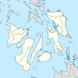
Casuntingan is a barangay in the city of Mandaue, Cebu Province, Central Visayas, Philippines. It borders Tingub to its north, Maguikay to its east, Bakilid and Banilad to its south, and Cabancalan to its west. As of the year 2020, Casuntingan has a total population of 16,846.[1]
Geography
Casuntingan is located at the western portion of Mandaue, covering an area of 0.79 squared kilometer.[2] Its average elevation is at 21 meters above the sea level.[3]
References
- ^ "Census of Population (2020) Region VII (Central Visayas)". psa.gov.ph. City of Mandaue: Philippine Statistics Authority. Archived from the original on 2023-03-08.
- ^ "Mandaue City (Philippines): Barangays - Population Statistics, Charts and Map". www.citypopulation.de. Retrieved 2023-03-24.
- ^ "Casuntingan topographic map, elevation, terrain". Topographic maps. Retrieved 2023-03-24.


