Dejtár
Appearance
This article needs attention from an expert on the subject. Please add a reason or a talk parameter to this template to explain the issue with the article. (May 2011) |
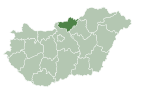
Dejtár is a village and municipality in the comitat of Nógrád, Hungary.
References
48°02′N 19°10′E / 48.033°N 19.167°E


