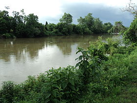
Dan River

The Dan River flows 214 miles (344 km)[1] in the U.S. states of North Carolina and Virginia. It rises in Patrick County, Virginia, and crosses the state border into Stokes County, North Carolina. It then flows into Rockingham County. From there it goes back into Virginia. It reenters North Carolina near the border between Caswell County and Rockingham County. It flows into northern Caswell County and then back into southern Virginia and finally into Kerr Reservoir on the Roanoke River. The name of the river comes from the Saura word for otter, "ptan", which sounds like "Dan" in pronunciation.[citation needed]
A variant name is South Branch Roanoke River.[2]
Coal ash spill
In 2014, tens of thousands of tons of coal ash and twenty-seven million gallons of contaminated water spilled into the Dan River near Eden, NC from a closed North Carolina coal-fired power plant that is owned by Duke Energy. It is currently the third worst coal ash spill ever to happen in the United States. A second pipe nearby also spilled arsenic and other heavy metals into the river for five days, but was successfully plugged by Duke Energy[3] [4]
References
- ^ "The National Map". U.S. Geological Survey. Retrieved Feb 14, 2011.
- ^ U.S. Geological Survey Geographic Names Information System: Dan River
- ^ "Tons of coal ash spill into North Carolina river". Los Angeles Times. 2014-02-05. Retrieved 2014-02-05.
- ^ "A Tale of Two Spills". WCHL (AM). 2014-02-16. Retrieved 2014-02-16.
External links
36°39′22″N 78°35′55″W / 36.65611°N 78.59861°W
