
File:Australia Jervis Bay Territory location map.svg

Size of this PNG preview of this SVG file: 800 × 549 pixels. Other resolutions: 320 × 220 pixels | 640 × 440 pixels | 1,024 × 703 pixels | 1,280 × 879 pixels | 2,560 × 1,758 pixels | 1,009 × 693 pixels.
Original file (SVG file, nominally 1,009 × 693 pixels, file size: 507 KB)
| This is a file from the Wikimedia Commons. Information from its description page there is shown below. Commons is a freely licensed media file repository. You can help. |
| Description |
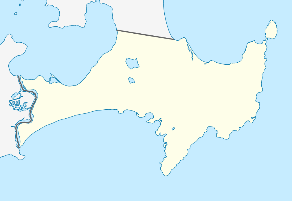
Mercator-Projektion. Geographische Begrenzung der Karte:
Mercator projection. Geographic limits of the map:
|
||||||||||||
| Date | |||||||||||||
| Source | Own work, using OpenStreetMap data | ||||||||||||
| Author | Carport | ||||||||||||
| Permission (Reusing this file) |
|
||||||||||||
| SVG development |
|

File history
Click on a date/time to view the file as it appeared at that time.
| Date/Time | Thumbnail | Dimensions | User | Comment | |
|---|---|---|---|---|---|
| current | 16:18, 25 April 2010 | | 1,009 × 693 (507 KB) | Carport | {{Information |Description= {{de|Positionskarte des Jervis Bay Territory, Australien}} Mercator-Projektion. Geographische Begrenzung der Karte: * N: 35.101° S * S: 35.215° S * W: 150.580° O * O: 150.783° |
File usage
The following pages on the English Wikipedia use this file (pages on other projects are not listed):
- Bherwerre Beach, Jervis Bay Territory
- Booderee National Park and Botanic Gardens
- Hive shipwreck
- Jervis Bay Village
- Wreck Bay Village
- User:Michael!/Project:Location map templates/Australia
- Template:Infobox Australian place/testcases
- Template:Sandbox/Innesw/Infobox Australian place/testcases
- Module:Location map/data/Australia Jervis Bay Territory
- Module:Location map/data/Australia Jervis Bay Territory/doc
Global file usage
The following other wikis use this file:
- Usage on af.wikipedia.org
- Usage on ar.wikipedia.org
- Usage on ba.wikipedia.org
- Usage on be.wikipedia.org
- Usage on bg.wikipedia.org
- Usage on ceb.wikipedia.org
- Usage on cs.wikipedia.org
- Usage on de.wikipedia.org
- Usage on es.wikipedia.org
- Usage on fa.wikipedia.org
- Usage on fr.wikipedia.org
- Usage on he.wikipedia.org
- Usage on hu.wikipedia.org
- Usage on hy.wikipedia.org
- Usage on ja.wikipedia.org
- Usage on ka.wikipedia.org
- Usage on kbd.wikipedia.org
- Usage on kn.wikipedia.org
- Usage on ky.wikipedia.org
- Usage on mk.wikipedia.org
- Usage on pl.wikipedia.org
- Usage on pl.wikibooks.org
- Usage on ru.wikipedia.org
- Usage on simple.wikipedia.org
- Usage on si.wikipedia.org
- Usage on tr.wikipedia.org
- Usage on uk.wikipedia.org
- Usage on ur.wikipedia.org
- Usage on uz.wikipedia.org
- Usage on war.wikipedia.org
- Usage on zh.wikipedia.org