
File:Colwyn rads.png
No higher resolution available.
Colwyn_rads.png (568 × 500 pixels, file size: 23 KB, MIME type: image/png)
| This is a file from the Wikimedia Commons. Information from its description page there is shown below. Commons is a freely licensed media file repository. You can help. |

|
Permission is granted to copy, distribute and/or modify this document under the terms of the GNU Free Documentation License, Version 1.2 or any later version published by the Free Software Foundation; with no Invariant Sections, no Front-Cover Texts, and no Back-Cover Texts. A copy of the license is included in the section entitled GNU Free Documentation License. |
| This file is licensed under the Creative Commons Attribution-Share Alike 3.0 Unported license. | ||
| ||
| This licensing tag was added to this file as part of the GFDL licensing update. |
File history
Click on a date/time to view the file as it appeared at that time.
| Date/Time | Thumbnail | Dimensions | User | Comment | |
|---|---|---|---|---|---|
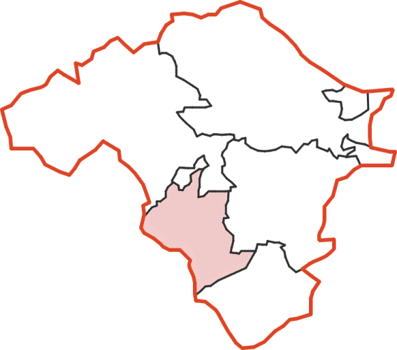
| current | 22:53, 9 February 2009 | | 568 × 500 (23 KB) | Lozleader | {{Information |Description=Map showing Colwyn Rural District in Radnorshire |Source=I created this work entirely by myself. |Date=9 February 2009 |Author=~~~ |other_versions= }} |
| 22:53, 9 February 2009 |  | 568 × 500 (23 KB) | Lozleader | {{Information |Description=Map showing Colwyn Rural District in Radnorshire |Source=I created this work entirely by myself. |Date=9 February 2009 |Author=~~~ |other_versions= }} |
File usage
The following pages on the English Wikipedia use this file (pages on other projects are not listed):