
File:Croatia 2009 map results.PNG

Size of this preview: 627 × 599 pixels. Other resolutions: 251 × 240 pixels | 502 × 480 pixels | 804 × 768 pixels | 1,071 × 1,024 pixels | 1,288 × 1,231 pixels.
Original file (1,288 × 1,231 pixels, file size: 54 KB, MIME type: image/png)
| This is a file from the Wikimedia Commons. Information from its description page there is shown below. Commons is a freely licensed media file repository. You can help. |
Summary
| Description |
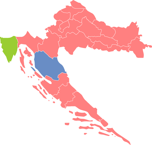
English: Map of Croatia with the results of the 2009-2010 presidential election, first round, by county. |
| Date | |
| Source | Own work |
| Author | Whoami1999 |
Licensing
| I, the copyright holder of this work, release this work into the public domain. This applies worldwide. In some countries this may not be legally possible; if so: I grant anyone the right to use this work for any purpose, without any conditions, unless such conditions are required by law. |
File history
Click on a date/time to view the file as it appeared at that time.
| Date/Time | Thumbnail | Dimensions | User | Comment | |
|---|---|---|---|---|---|
| current | 10:38, 27 September 2010 | | 1,288 × 1,231 (54 KB) | Whoami1999~commonswiki | Better coloring. |
| 10:25, 27 September 2010 |  | 1,288 × 1,231 (54 KB) | Whoami1999~commonswiki | New map and better coloring. | |
| 02:15, 13 January 2010 |  | 640 × 599 (73 KB) | Mahahahaneapneap | Compressed | |
| 12:10, 29 December 2009 |  | 640 × 599 (83 KB) | Whoami1999~commonswiki | {{Information |Description={{en|1=Map of Croatia with the results of the 2009-2010 presidential election, first round, by county.}} |Source={{own}} |Author=Whoami1999 |Date=2009-12-29 |Permission= |other_versions= }} [[Category:Politi |
File usage
The following pages on the English Wikipedia use this file (pages on other projects are not listed):
Global file usage
The following other wikis use this file:
- Usage on de.wikipedia.org
- Usage on es.wikipedia.org
- Usage on fi.wikipedia.org
- Usage on fr.wikipedia.org
- Usage on hr.wikipedia.org
- Usage on pl.wikipedia.org
- Usage on uk.wikipedia.org