
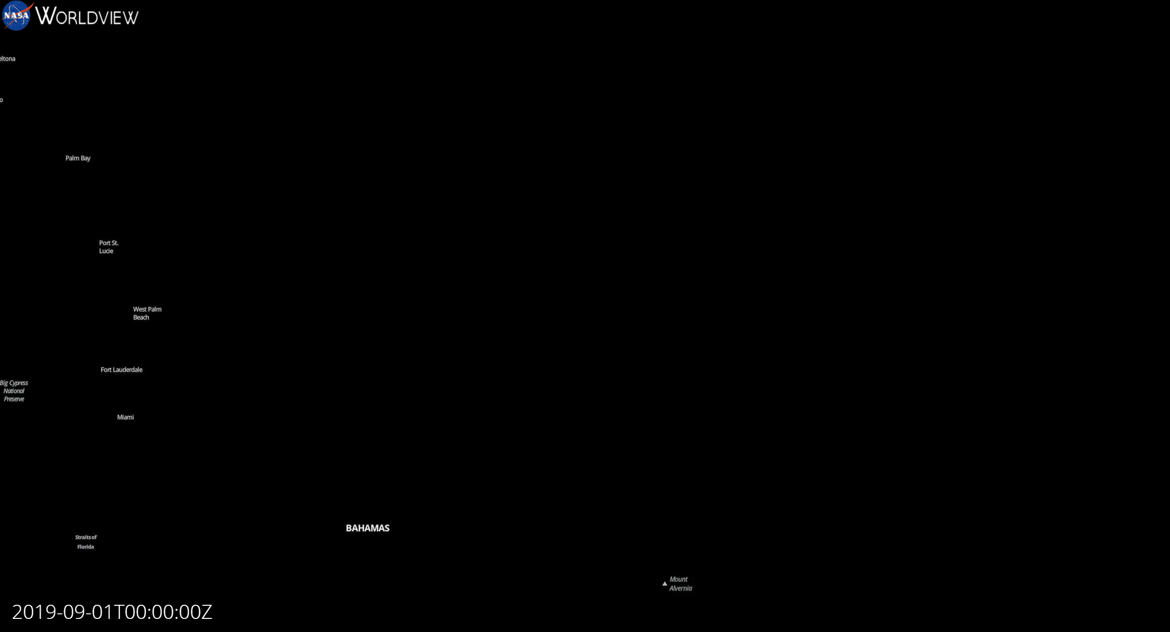
File:Hurricane Dorian landfall greyscale.gif
Size of this preview: 800 × 432 pixels. Other resolutions: 320 × 173 pixels | 640 × 346 pixels | 1,024 × 553 pixels | 1,280 × 692 pixels | 2,320 × 1,254 pixels.
Original file (2,320 × 1,254 pixels, file size: 26.67 MB, MIME type: image/gif, looped, 25 frames, 6.0 s)
| This is a file from the Wikimedia Commons. Information from its description page there is shown below. Commons is a freely licensed media file repository. You can help. |
Summary
| Description |
English: Animated greyscale satellite loop of 2019's Hurricane Dorian from intensification to landfall |
| Date | |
| Source | https://www.worldview.earthdata.nasa.gov/ |
| Author | National Aeronautics and Space Administration - Tropical Cyclone Field |
Licensing
| This file is in the public domain in the United States because it was solely created by NASA. NASA copyright policy states that "NASA material is not protected by copyright unless noted". (See Template:PD-USGov, NASA copyright policy page or JPL Image Use Policy.) | ||
 |
Warnings:
|
File history
Click on a date/time to view the file as it appeared at that time.
| Date/Time | Thumbnail | Dimensions | User | Comment | |
|---|---|---|---|---|---|
| current | 16:22, 31 December 2019 | | 2,320 × 1,254 (26.67 MB) | VersaceLaurent | User created page with UploadWizard |
File usage
The following pages on the English Wikipedia use this file (pages on other projects are not listed):
Global file usage
The following other wikis use this file:
- Usage on hr.wikipedia.org