to share – to copy, distribute and transmit the work
to remix – to adapt the work
Under the following conditions:
attribution – You must give appropriate credit, provide a link to the license, and indicate if changes were made. You may do so in any reasonable manner, but not in any way that suggests the licensor endorses you or your use.
share alike – If you remix, transform, or build upon the material, you must distribute your contributions under the same or compatible license as the original.
This licensing tag was added to this file as part of the GFDL licensing update.http://creativecommons.org/licenses/by-sa/3.0/CC BY-SA 3.0Creative Commons Attribution-Share Alike 3.0truetrue
Permission is granted to copy, distribute and/or modify this document under the terms of the GNU Free Documentation License, Version 1.2 or any later version published by the Free Software Foundation; with no Invariant Sections, no Front-Cover Texts, and no Back-Cover Texts. A copy of the license is included in the section entitled GNU Free Documentation License. Subject to disclaimers.http://www.gnu.org/copyleft/fdl.htmlGFDLGNU Free Documentation Licensetruetrue
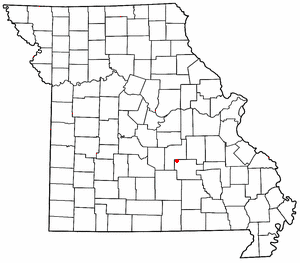
Lecoma was named for 3 Leading, Pioneer citizens, Lenox, Comstock and Martin. At that time, it had a Large Mill,a Bank,a Post Office, an Undertaker_Coffin Builder, Mercantile, Grocery with gasoline pump, A Large building with the OddFellows Lodge, a School that covered grades up to 8th,and Church. In the 1940's, All that was left were 2 stores, One selling gasoline and the Post Office, the Church and School. Now in the year 2008, the Post Office has been moved, There is only one 'Quick Stop_Pizza store without selling gasoline,The Church, and a Craft/Quilting Antique Store. The School was consolidated and closed in 1950, finally torn down. The church is still holding Sunday School and has service on Sunday Morning. == Original upload log ==
(All user names refer to en.wikipedia)
2006-05-10 22:34 Rt66lt 300×263×8 (15345 bytes) Modified from [[:Image:MOMap-doton-Springfield.png]]
Captions
Add a one-line explanation of what this file represents

