
File:Map of US Naval Station Newport RI 1966.png

Size of this preview: 800 × 273 pixels. Other resolutions: 320 × 109 pixels | 640 × 218 pixels | 1,024 × 350 pixels | 1,280 × 437 pixels | 3,105 × 1,060 pixels.
Original file (3,105 × 1,060 pixels, file size: 628 KB, MIME type: image/png)
| This is a file from the Wikimedia Commons. Information from its description page there is shown below. Commons is a freely licensed media file repository. You can help. |
Summary
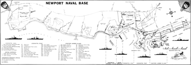
| Description | A map of the U.S. Naval Station Newport, Rhode Island (USA). |
| Date | |
| Source | U.S. Navy All Hands magazine June 1966, p. 54. |
| Author | USN |
| Permission (Reusing this file) |
"All photographs published in ALL HANDS are official Department of Defense photographs unless otherwise designated." |
Licensing
This image is a work of a U.S. military or Department of Defense employee, taken or made as part of that person's official duties. As a work of the U.S. federal government, the image is in the public domain in the United States.
|
 |
File history
Click on a date/time to view the file as it appeared at that time.
| Date/Time | Thumbnail | Dimensions | User | Comment | |
|---|---|---|---|---|---|
| current | 06:32, 27 July 2014 | 3,105 × 1,060 (628 KB) | Cobatfor | == {{int:filedesc}} == {{Information |Description=A map of the U.S. Naval Station Newport, Rhode Island (USA). |Source=[http://www.navy.mil/ah_online/department_arch.html U.S. Navy All Hands magazine] [http://www.navy.mil/ah_online/archpdf/ah196606.pdf... |
File usage
The following pages on the English Wikipedia use this file (pages on other projects are not listed):
Global file usage
The following other wikis use this file:
- Usage on ja.wikipedia.org