
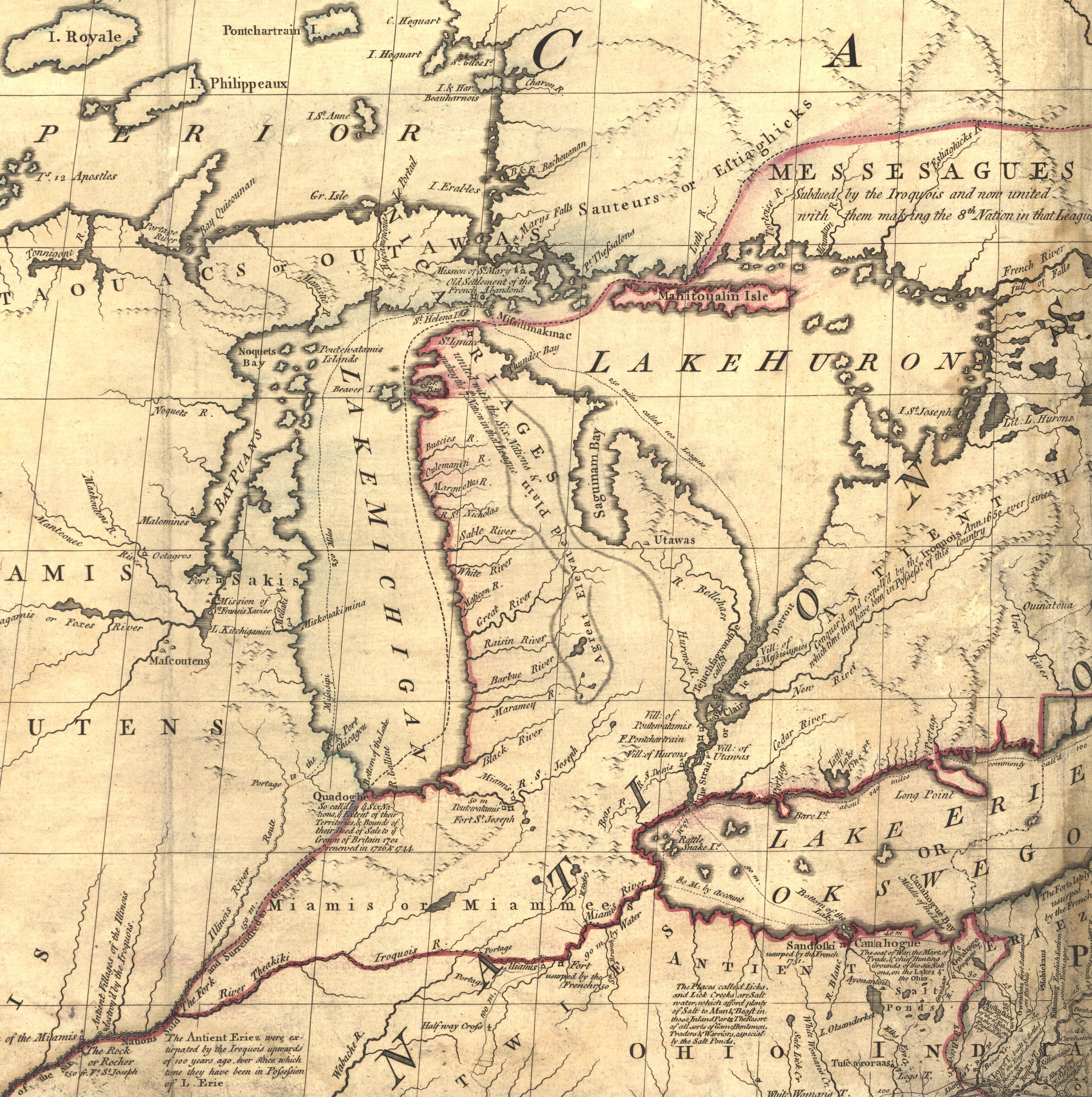
File:Mitchell map michigan.jpg
Size of this preview: 597 × 600 pixels. Other resolutions: 239 × 240 pixels | 478 × 480 pixels | 765 × 768 pixels | 1,020 × 1,024 pixels | 2,356 × 2,366 pixels.
Original file (2,356 × 2,366 pixels, file size: 5.97 MB, MIME type: image/jpeg)
| This is a file from the Wikimedia Commons. Information from its description page there is shown below. Commons is a freely licensed media file repository. You can help. |
Summary
| Description | Mitchell Map - A map of the British and French dominions in North America,...; 1757, cropped to Michigan region |
| Date | between 1755 and 1757 |
| Source | Library of Congress |
| Author | John Mitchell; digital version, Library of Congress, Geography and Map Division. |
| Permission (Reusing this file) |
"The Library of Congress is providing access to these materials for educational and research purposes and is not aware of any U.S. copyright protection" (source: http://memory.loc.gov/cgi-bin/ammemrr.pl?title=Map%20Collections&coll=gmd&div=&agg=g3300&default=ammem&dir=ammem) |
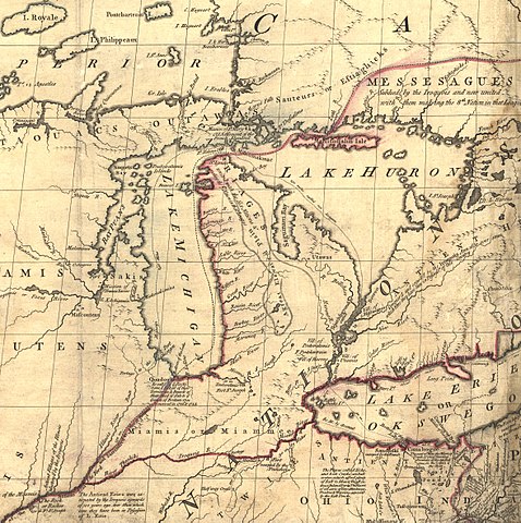
| Other versions | Mitchell Map-06full2.jpg |
Licensing
|
This is a faithful photographic reproduction of a two-dimensional, public domain work of art. The work of art itself is in the public domain for the following reason:
The official position taken by the Wikimedia Foundation is that "faithful reproductions of two-dimensional public domain works of art are public domain".
This photographic reproduction is therefore also considered to be in the public domain in the United States. In other jurisdictions, re-use of this content may be restricted; see Reuse of PD-Art photographs for details. | ||||
Original upload log
The original description page was here. All following user names refer to en.wikipedia.
- 2006-05-03 00:35 Hotstreets 258×277×8 (28294 bytes) Mitchell Map of Michigan region from late 1700s. Public domain, since an image of a public domain image is also public domain. Found on [http://www.usm.maine.edu/~maps/mitchell/full2.jpeg].
File history
Click on a date/time to view the file as it appeared at that time.
| Date/Time | Thumbnail | Dimensions | User | Comment | |
|---|---|---|---|---|---|
| current | 21:53, 4 July 2016 | | 2,356 × 2,366 (5.97 MB) | JasonAQuest | Cropped from file:Mitchell_Map-06full2.jpg |
| 17:01, 11 April 2007 |  | 258 × 277 (28 KB) | Liftarn | {{Information |Description=Mitchell Map of Michigan region from late 1700s. Public domain, since an image of a public domain image is also public domain. Found on [http://www.usm.maine.edu/~maps/mitchell/full2.jpeg]. |Source=Originally from [http://en.wik |
File usage
The following pages on the English Wikipedia use this file (pages on other projects are not listed):
Global file usage
The following other wikis use this file:
- Usage on it.wikipedia.org
- Usage on ja.wikipedia.org
- Usage on nl.wikipedia.org
- Usage on pt.wikipedia.org
- Usage on ru.wikipedia.org