
File:Mozambique postos.png
Size of this preview: 376 × 599 pixels. Other resolutions: 151 × 240 pixels | 301 × 480 pixels | 482 × 768 pixels | 1,185 × 1,887 pixels.
Original file (1,185 × 1,887 pixels, file size: 133 KB, MIME type: image/png)
| This is a file from the Wikimedia Commons. Information from its description page there is shown below. Commons is a freely licensed media file repository. You can help. |
Summary
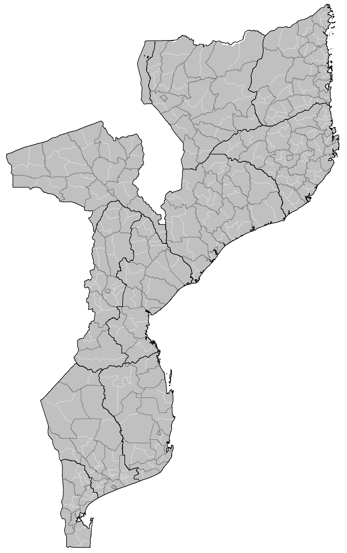
| Description | Map of the postos (third level administrative division) of Mozambique. |
| Date | 2 May 2008 (original upload date) |
| Source | No machine-readable source provided. Own work assumed (based on copyright claims). |
| Author | No machine-readable author provided. Rarelibra assumed (based on copyright claims). |
Licensing
| I, the copyright holder of this work, release this work into the public domain. This applies worldwide. In some countries this may not be legally possible; if so: I grant anyone the right to use this work for any purpose, without any conditions, unless such conditions are required by law. |
File history
Click on a date/time to view the file as it appeared at that time.
| Date/Time | Thumbnail | Dimensions | User | Comment | |
|---|---|---|---|---|---|
| current | 21:36, 2 May 2008 | | 1,185 × 1,887 (133 KB) | Rarelibra | Map of the postos (third level administrative division) of Mozambique. |
File usage
The following pages on the English Wikipedia use this file (pages on other projects are not listed):
Global file usage
The following other wikis use this file:
- Usage on ca.wikipedia.org
- Usage on ka.wikipedia.org
- Usage on pt.wikipedia.org