
File:NY Route 25 map.png
Size of this preview: 800 × 475 pixels. Other resolutions: 320 × 190 pixels | 640 × 380 pixels | 1,024 × 607 pixels | 1,280 × 759 pixels | 2,281 × 1,353 pixels.
Original file (2,281 × 1,353 pixels, file size: 240 KB, MIME type: image/png)
| This is a file from the Wikimedia Commons. Information from its description page there is shown below. Commons is a freely licensed media file repository. You can help. |
Summary
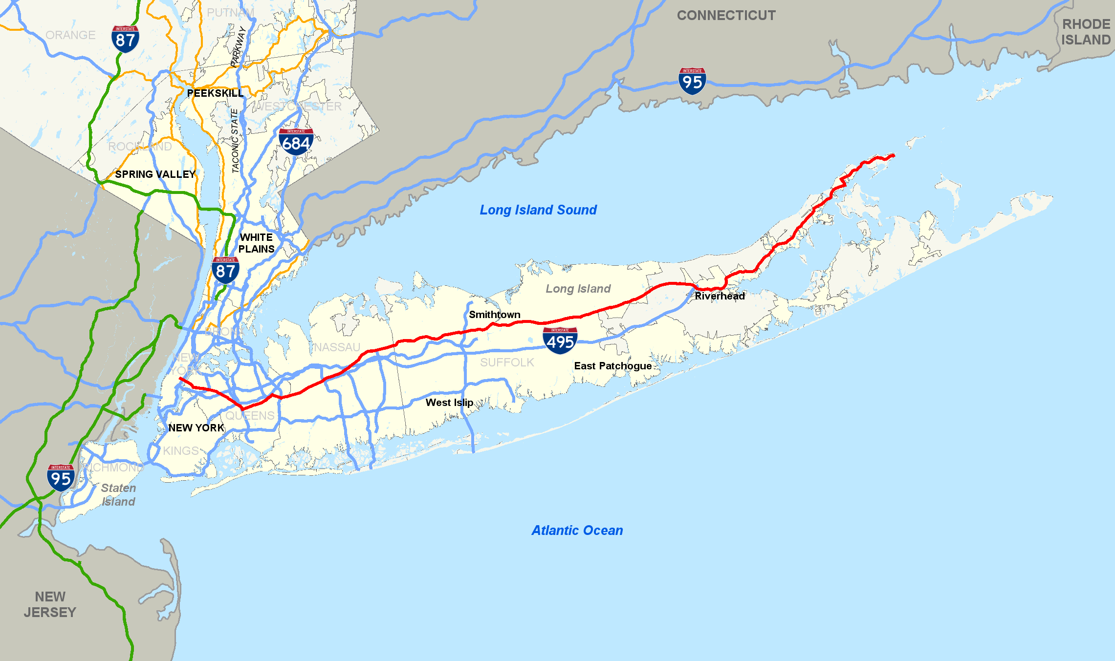
| Description | Map of New York State Route 25. |
| Date | |
| Source | Own work |
| Author | TwinsMetsFan |
Licensing
| This work has been released into the public domain by its author, I, TwinsMetsFan. This applies worldwide. In some countries this may not be legally possible; if so: I, TwinsMetsFan grants anyone the right to use this work for any purpose, without any conditions, unless such conditions are required by law. |
File history
Click on a date/time to view the file as it appeared at that time.
| Date/Time | Thumbnail | Dimensions | User | Comment | |
|---|---|---|---|---|---|
| current | 21:15, 15 April 2008 | | 2,281 × 1,353 (240 KB) | TwinsMetsFan | fixed colors and projection |
| 05:40, 20 June 2007 |  | 2,279 × 1,349 (268 KB) | TwinsMetsFan | {{Information |Description=Map of w:New York State Route 25. |Source=self-made |Date=June 20, 2007 |Author= TwinsMetsFan }} Category:New York State Route Maps |
File usage
No pages on the English Wikipedia use this file (pages on other projects are not listed).
Global file usage
The following other wikis use this file:
- Usage on www.wikidata.org